MyTopo
Ouzel Falls Wyoming US Topo Map
Couldn't load pickup availability
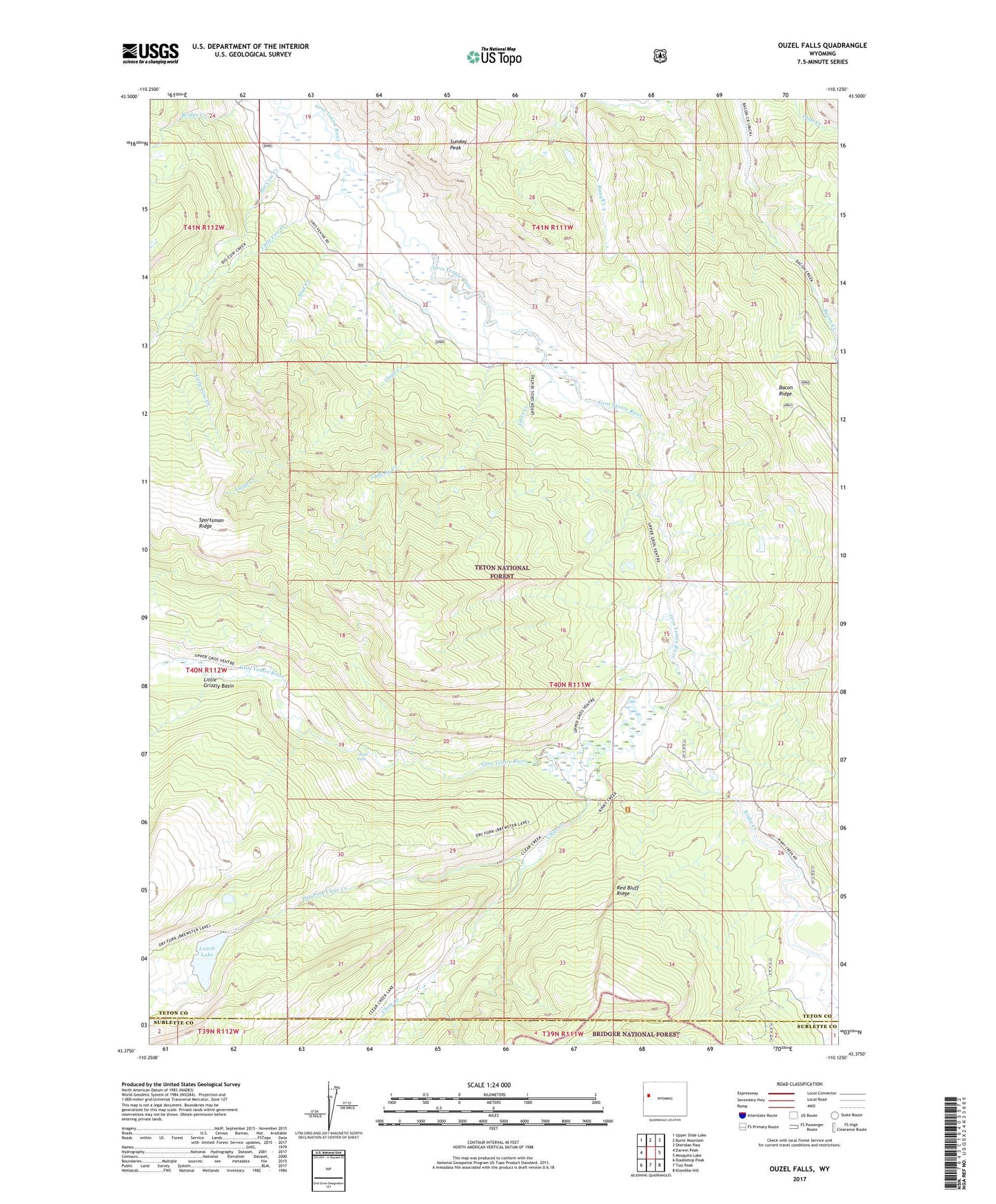
2021 topographic map quadrangle Ouzel Falls in the state of Wyoming. Scale: 1:24000. Based on the newly updated USGS 7.5' US Topo map series, this map is in the following counties: Teton, Sublette. The map contains contour data, water features, and other items you are used to seeing on USGS maps, but also has updated roads and other features. This is the next generation of topographic maps. Printed on high-quality waterproof paper with UV fade-resistant inks.
Quads adjacent to this one:
West: Darwin Peak
Northwest: Upper Slide Lake
North: Burnt Mountain
Northeast: Sheridan Pass
East: Mosquito Lake
Southeast: Klondike Hill
South: Tosi Peak
Southwest: Doubletop Peak
Contains the following named places: Big Cow Creek, Clear Creek, Darwin Ranch, Dry Fork Clear Creek, Horn Ranch, Jones Creek, Kinky Creek, Lafferty Creek, Little Cow Creek, Little Grizzly Basin, Lloyd Creek, Lunch Lake, Mud Creek, Ouzel Falls, Red Bluff Ridge, Sportsman Ridge, Sunday Peak, Trunk Creek