MyTopo
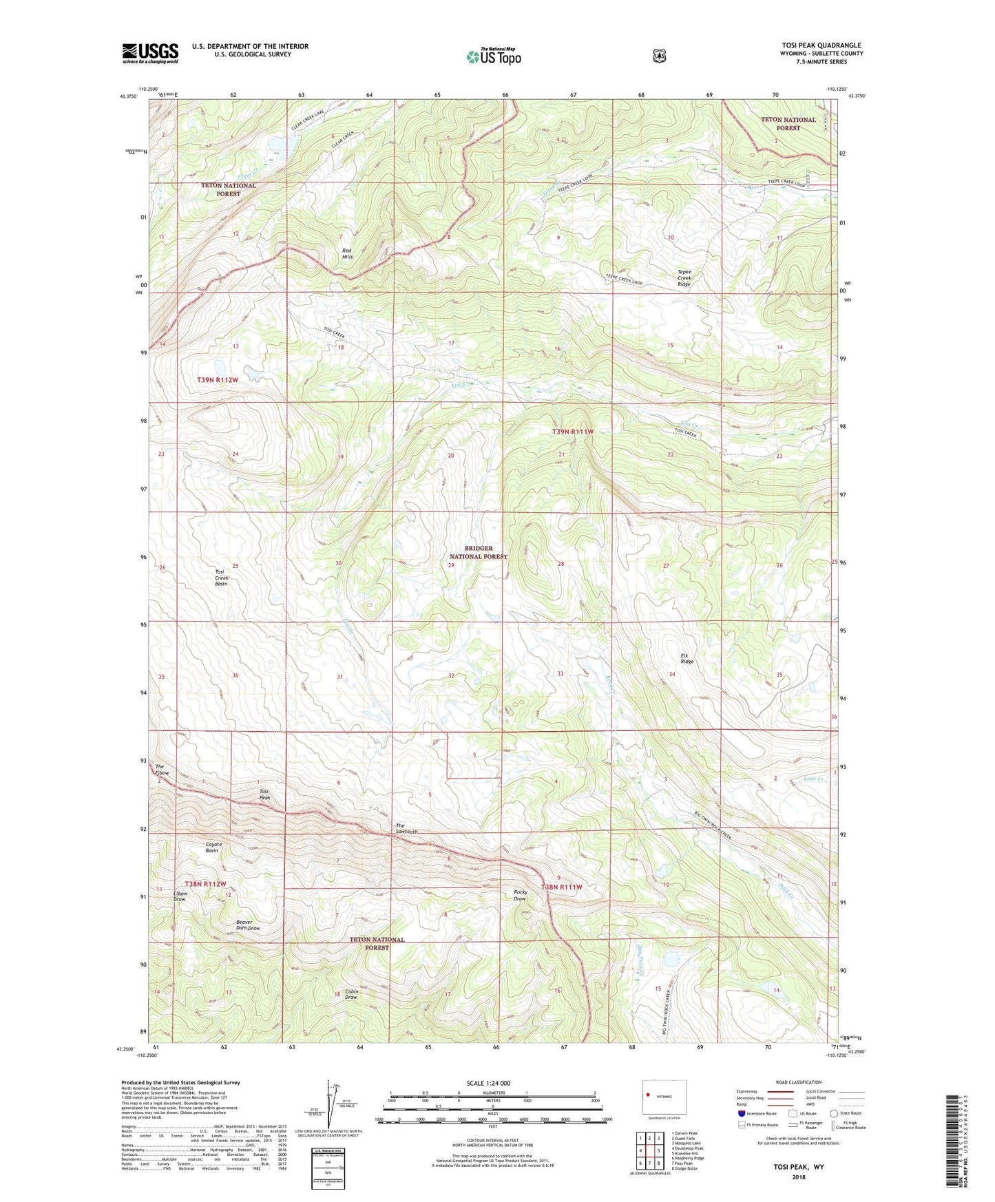
Tosi Peak Wyoming US Topo Map
Couldn't load pickup availability
Also explore the Tosi Peak Forest Service Topo of this same quad for updated USFS data
2021 topographic map quadrangle Tosi Peak in the state of Wyoming. Scale: 1:24000. Based on the newly updated USGS 7.5' US Topo map series, this map is in the following counties: Sublette. The map contains contour data, water features, and other items you are used to seeing on USGS maps, but also has updated roads and other features. This is the next generation of topographic maps. Printed on high-quality waterproof paper with UV fade-resistant inks.
Quads adjacent to this one:
West: Doubletop Peak
Northwest: Darwin Peak
North: Ouzel Falls
Northeast: Mosquito Lake
East: Klondike Hill
Southeast: Dodge Butte
South: Pass Peak
Southwest: Raspberry Ridge
This map covers the same area as the classic USGS quad with code o43110c2.
Contains the following named places: Coyote Basin, Elk Ridge, Red Hills, Tepee Creek Ridge, The Elbow, The Sawtooth, Tosi Creek Basin, Tosi Creek Basin Mine, Tosi Peak, Water Dog Lakes