MyTopo
Pahaska Tepee Wyoming US Topo Map
Couldn't load pickup availability
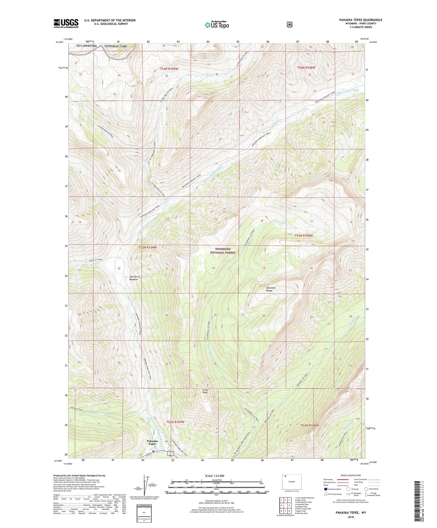
2021 topographic map quadrangle Pahaska Tepee in the state of Wyoming. Scale: 1:24000. Based on the newly updated USGS 7.5' US Topo map series, this map is in the following counties: Park. The map contains contour data, water features, and other items you are used to seeing on USGS maps, but also has updated roads and other features. This is the next generation of topographic maps. Printed on high-quality waterproof paper with UV fade-resistant inks.
Quads adjacent to this one:
West: Cathedral Peak
Northwest: Little Saddle Mountain
North: Pollux Peak
Northeast: Stinkingwater Peak
East: Sunlight Peak
Southeast: Chimney Rock
South: Eagle Creek
Southwest: Plenty Coups Peak
Contains the following named places: Bear Creek, Camp Monaco, Crow Creek, Crow Peak, Jones Creek, Middle Creek, Pahaska Sunlight Trail, Pahaska Tepee, Park County Fire Protection District 2 Station 5, Red Creek, Sam Berry Meadow, West Grinnell Creek, Whirlwind Peak