MyTopo
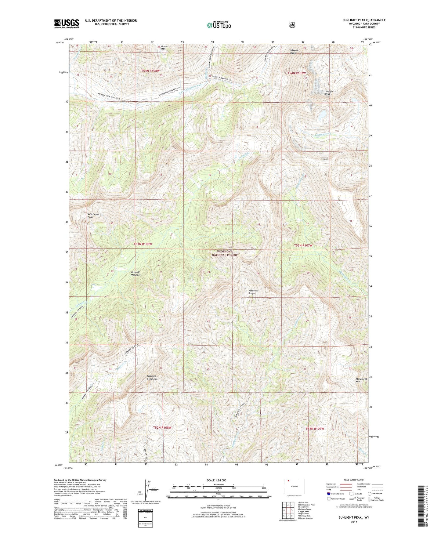
Sunlight Peak Wyoming US Topo Map
Couldn't load pickup availability
Also explore the Sunlight Peak Forest Service Topo of this same quad for updated USFS data
2021 topographic map quadrangle Sunlight Peak in the state of Wyoming. Scale: 1:24000. Based on the newly updated USGS 7.5' US Topo map series, this map is in the following counties: Park. The map contains contour data, water features, and other items you are used to seeing on USGS maps, but also has updated roads and other features. This is the next generation of topographic maps. Printed on high-quality waterproof paper with UV fade-resistant inks.
Quads adjacent to this one:
West: Pahaska Tepee
Northwest: Pollux Peak
North: Stinkingwater Peak
Northeast: Geers Point
East: Jaggar Peak
Southeast: Clayton Mountain
South: Chimney Rock
Southwest: Eagle Creek
This map covers the same area as the classic USGS quad with code o44109e7.
Contains the following named places: Grinnell Meadows, Hughes Creek, Monument Mountain, Moose Mountain, Newton Prospect, Nipple Mesa, North Absaroka Wilderness, Silvertip Basin, Sleeping Giant Mountain, Sunlight Peak, Torrent Creek