
MyTopo
Pedro Wyoming US Topo Map
Couldn't load pickup availability
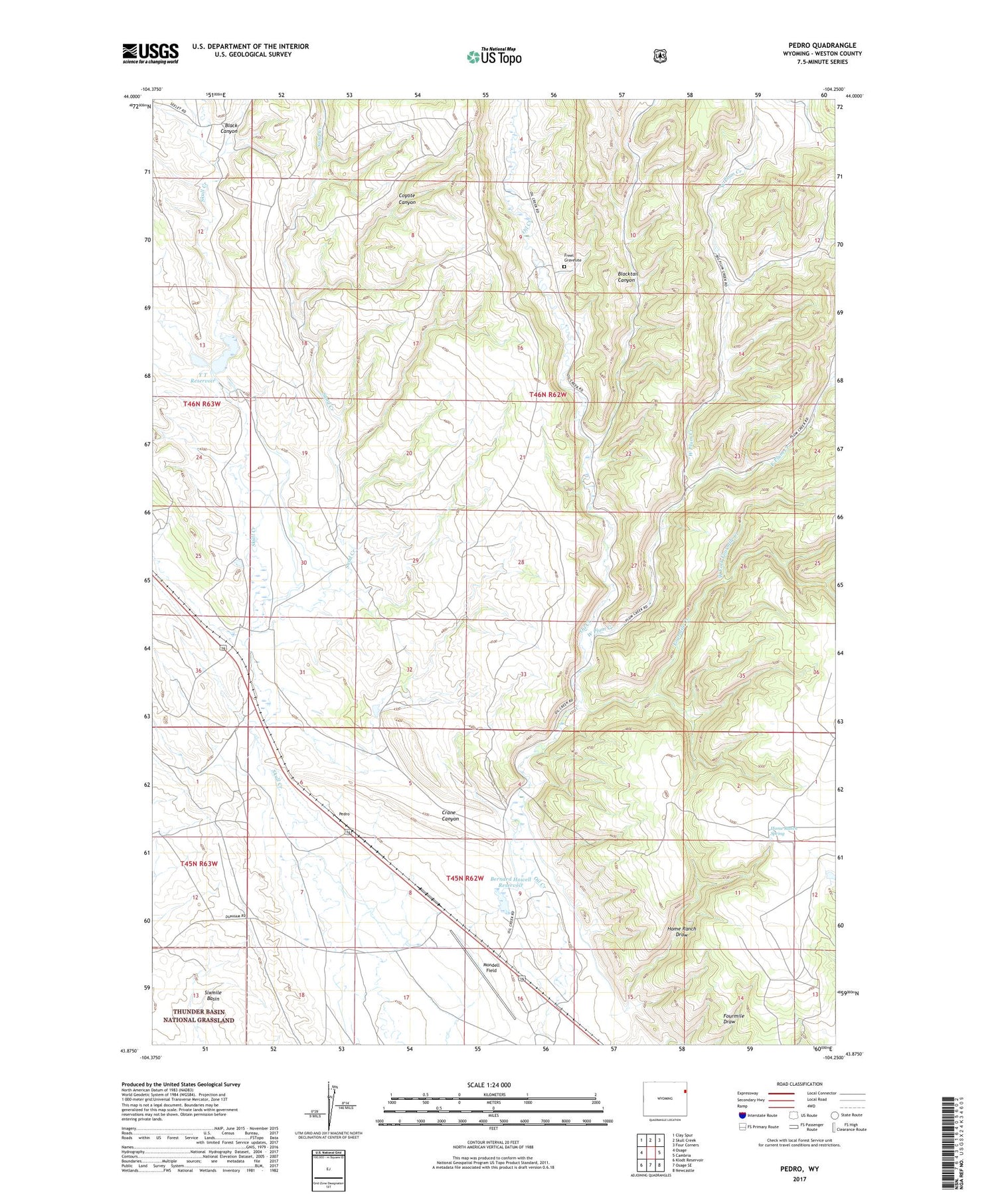
2021 topographic map quadrangle Pedro in the state of Wyoming. Scale: 1:24000. Based on the newly updated USGS 7.5' US Topo map series, this map is in the following counties: Weston. The map contains contour data, water features, and other items you are used to seeing on USGS maps, but also has updated roads and other features. This is the next generation of topographic maps. Printed on high-quality waterproof paper with UV fade-resistant inks.
Quads adjacent to this one:
West: Osage
Northwest: Clay Spur
North: Skull Creek
Northeast: Four Corners
East: Cambria
Southeast: Newcastle
South: Osage SE
Southwest: Klodt Reservoir
Contains the following named places: Allen Ranch, Bernard Howell Reservoir, Black Canyon, Blacktail Canyon, Coyote Canyon, Crane Canyon, East Plum Creek, Engle Ranch, Enlargement Baird Number 2 Dam, Enlargement Baird Number 2 Reservoir, Enlargement J L Baird Number 1 Dam, Enlargement J L Baird Number 1 Reservoir, Fourmile Creek, Freel Gravesite, Home Ranch Draw, Home Ranch Spring, Mary Ellen Dam, Mary Ellen Reservoir, Mondell Field, Pedro, Pedro Oil Field, Sand Creek, West Fork Fourmile Creek, West Plum Creek, Y T Reservoir


