MyTopo
Point of Rocks SE Wyoming US Topo Map
Couldn't load pickup availability
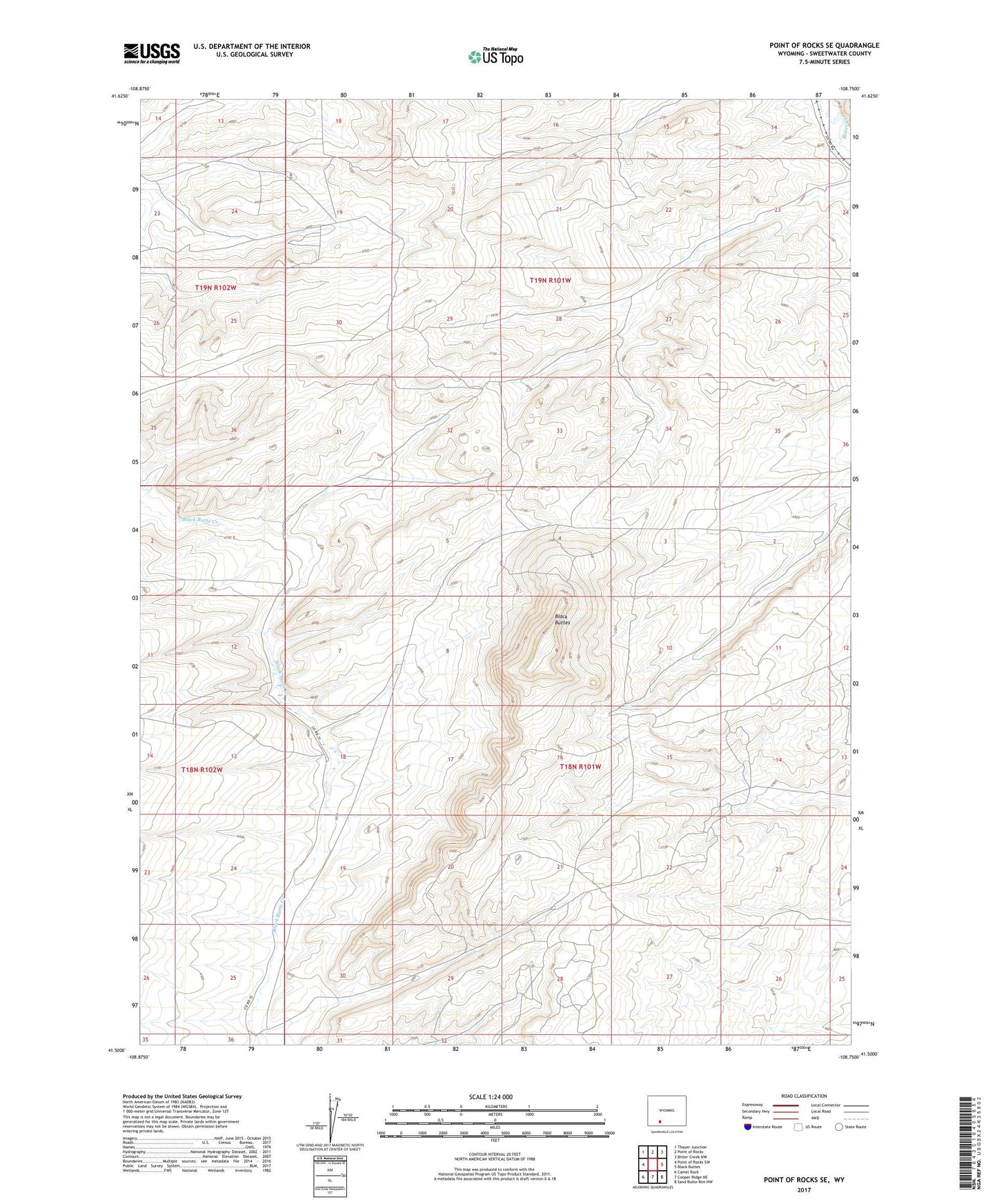
2021 topographic map quadrangle Point of Rocks SE in the state of Wyoming. Scale: 1:24000. Based on the newly updated USGS 7.5' US Topo map series, this map is in the following counties: Sweetwater. The map contains contour data, water features, and other items you are used to seeing on USGS maps, but also has updated roads and other features. This is the next generation of topographic maps. Printed on high-quality waterproof paper with UV fade-resistant inks.
Quads adjacent to this one:
West: Point of Rocks SW
Northwest: Thayer Junction
North: Point of Rocks
Northeast: Bitter Creek NW
East: Black Buttes
Southeast: Sand Butte Rim NW
South: Cooper Ridge NE
Southwest: Camel Rock
This map covers the same area as the classic USGS quad with code o41108e7.
Contains the following named places: Black Butte Creek Mine, Black Buttes, Lucky Turk Mine, Overland Trail, Yellow Rose Number Two Mine