MyTopo
Red Castle Creek Wyoming US Topo Map
Couldn't load pickup availability
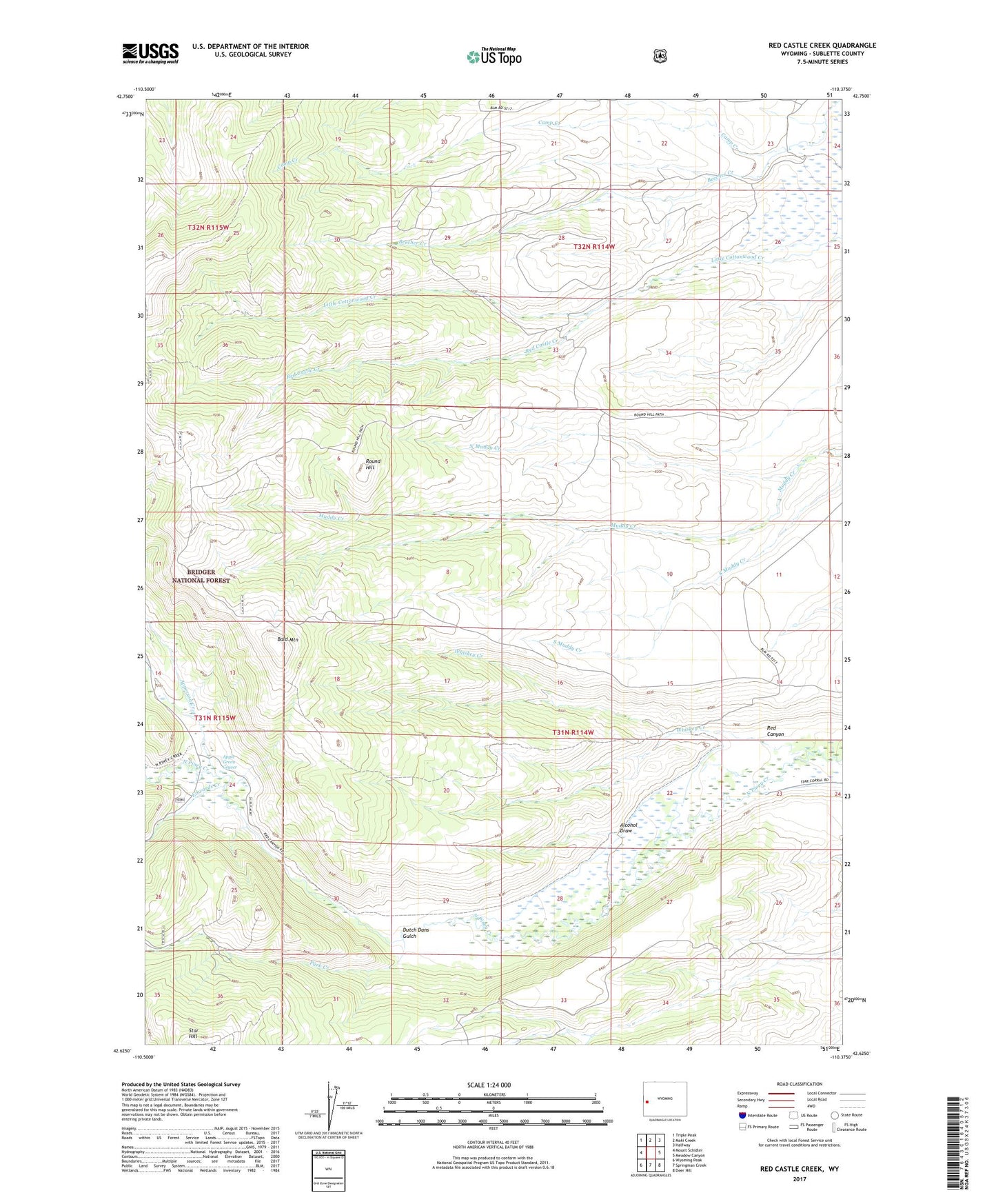
2021 topographic map quadrangle Red Castle Creek in the state of Wyoming. Scale: 1:24000. Based on the newly updated USGS 7.5' US Topo map series, this map is in the following counties: Sublette. The map contains contour data, water features, and other items you are used to seeing on USGS maps, but also has updated roads and other features. This is the next generation of topographic maps. Printed on high-quality waterproof paper with UV fade-resistant inks.
Quads adjacent to this one:
West: Mount Schidler
Northwest: Triple Peak
North: Maki Creek
Northeast: Halfway
East: Meadow Canyon
Southeast: Deer Hill
South: Springman Creek
Southwest: Wyoming Peak
Contains the following named places: Alcohol Draw, Apperson Creek, Apple Green Geyser, Bald Mountain, Camp Creek, Dutch Dans Gulch, Edwards Creek, North Muddy Creek, Park Creek, Red Canyon, Red Castle Creek, Red Castles, Round Hill, Rowe Ditch, Star Hill, Vermillion Ditch, Whiskey Creek