MyTopo
Springman Creek Wyoming US Topo Map
Couldn't load pickup availability
Also explore the Springman Creek Forest Service Topo of this same quad for updated USFS data
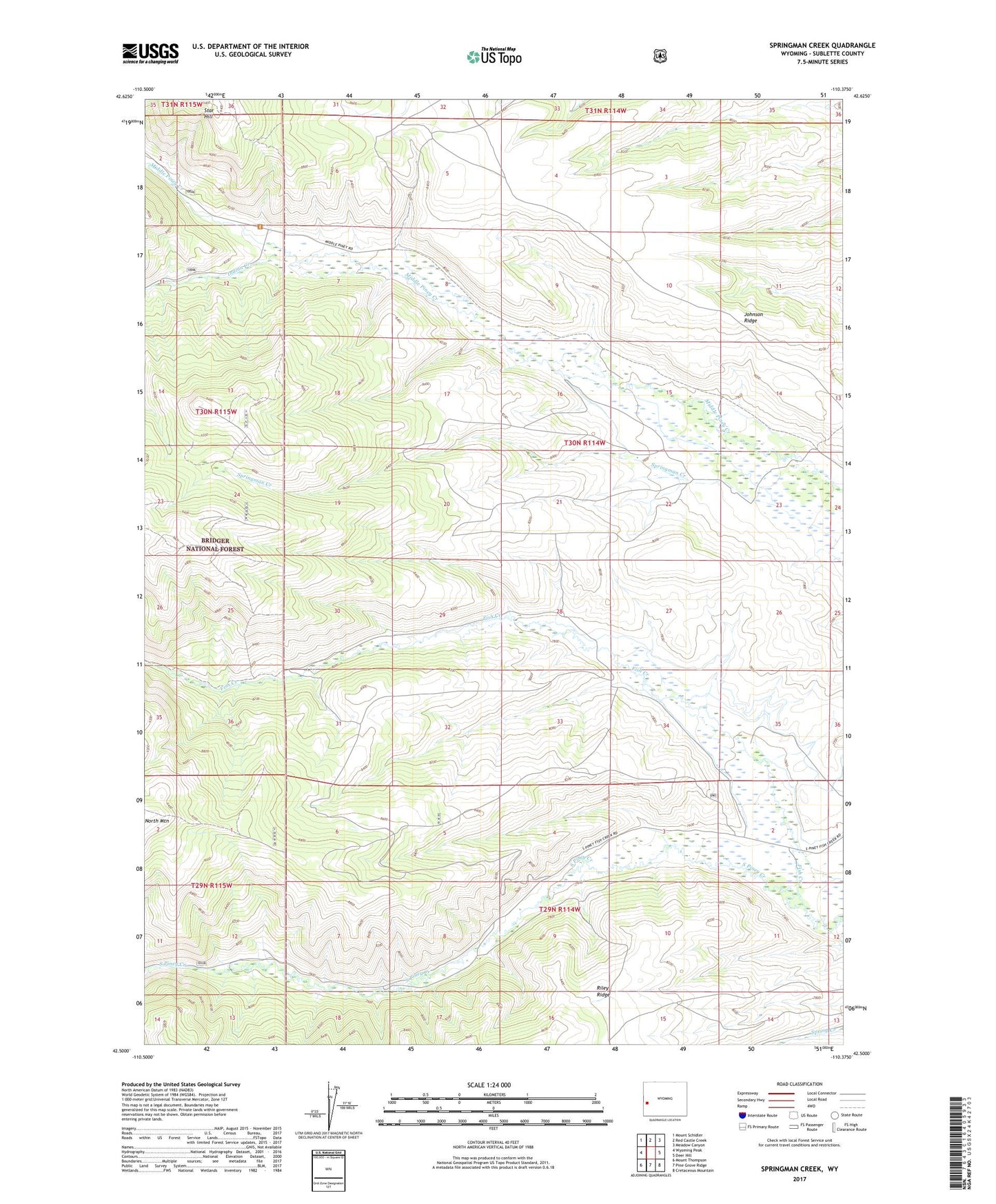
2021 topographic map quadrangle Springman Creek in the state of Wyoming. Scale: 1:24000. Based on the newly updated USGS 7.5' US Topo map series, this map is in the following counties: Sublette. The map contains contour data, water features, and other items you are used to seeing on USGS maps, but also has updated roads and other features. This is the next generation of topographic maps. Printed on high-quality waterproof paper with UV fade-resistant inks.
Quads adjacent to this one:
West: Wyoming Peak
Northwest: Mount Schidler
North: Red Castle Creek
Northeast: Meadow Canyon
East: Deer Hill
Southeast: Cretaceous Mountain
South: Pine Grove Ridge
Southwest: Mount Thompson
This map covers the same area as the classic USGS quad with code o42110e4.
Contains the following named places: Aurora Ditch, Barbara Budd Ditch, Bonita Ditch, Finnegan Ditch, Fish Creek, Indian Creek, Johnson Ridge, Miami Ditch, Springman Creek