MyTopo
Reno Flats Wyoming US Topo Map
Couldn't load pickup availability
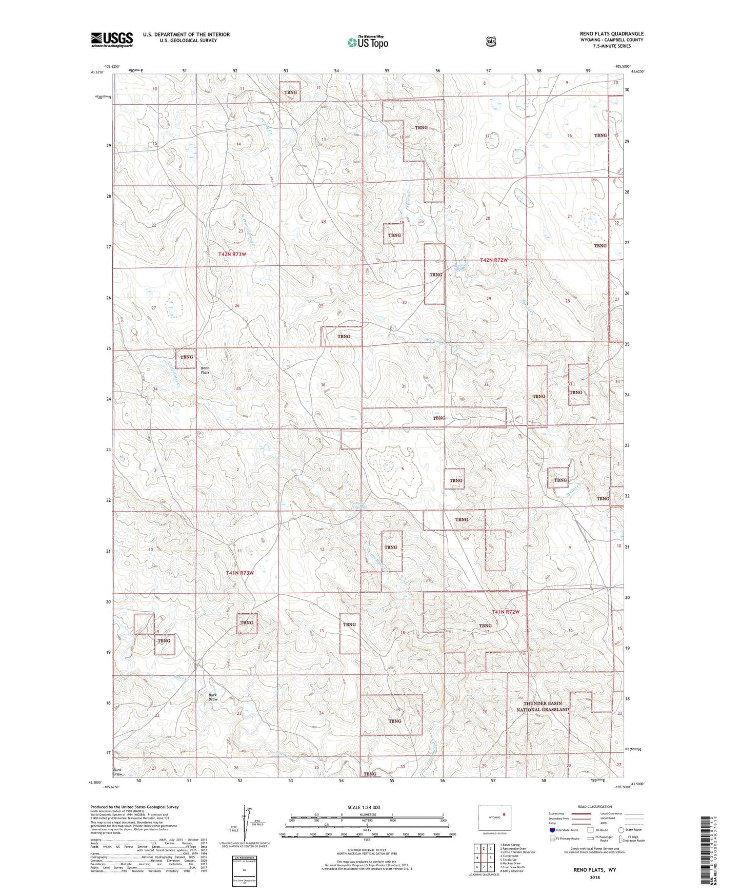
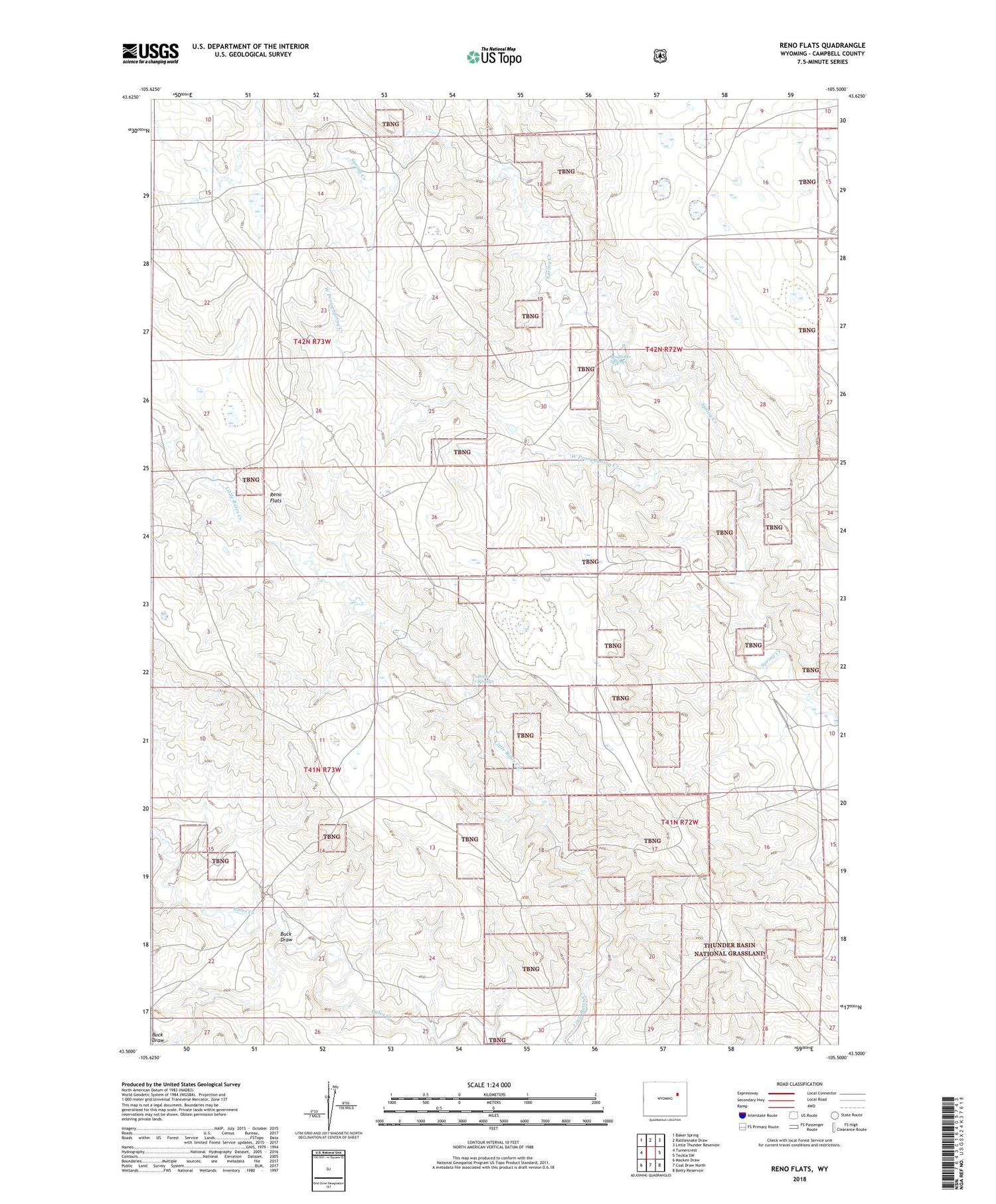
2021 topographic map quadrangle Reno Flats in the state of Wyoming. Scale: 1:24000. Based on the newly updated USGS 7.5' US Topo map series, this map is in the following counties: Campbell. The map contains contour data, water features, and other items you are used to seeing on USGS maps, but also has updated roads and other features. This is the next generation of topographic maps. Printed on high-quality waterproof paper with UV fade-resistant inks.
Quads adjacent to this one:
West: Turnercrest
Northwest: Baker Spring
North: Rattlesnake Draw
Northeast: Little Thunder Reservoir
East: Teckla SW
Southeast: Betty Reservoir
South: Coal Draw North
Southwest: Macken Draw
Contains the following named places: Buck Draw, Green Draw, Maycock Spring, Reno Flats, Reno Ranch, Rock Spring, Teckla Number 1 Dam, Teckla Number 1 Reservoir, West Prong Spring Creek