MyTopo
Reynolds Reservoir Wyoming US Topo Map
Couldn't load pickup availability
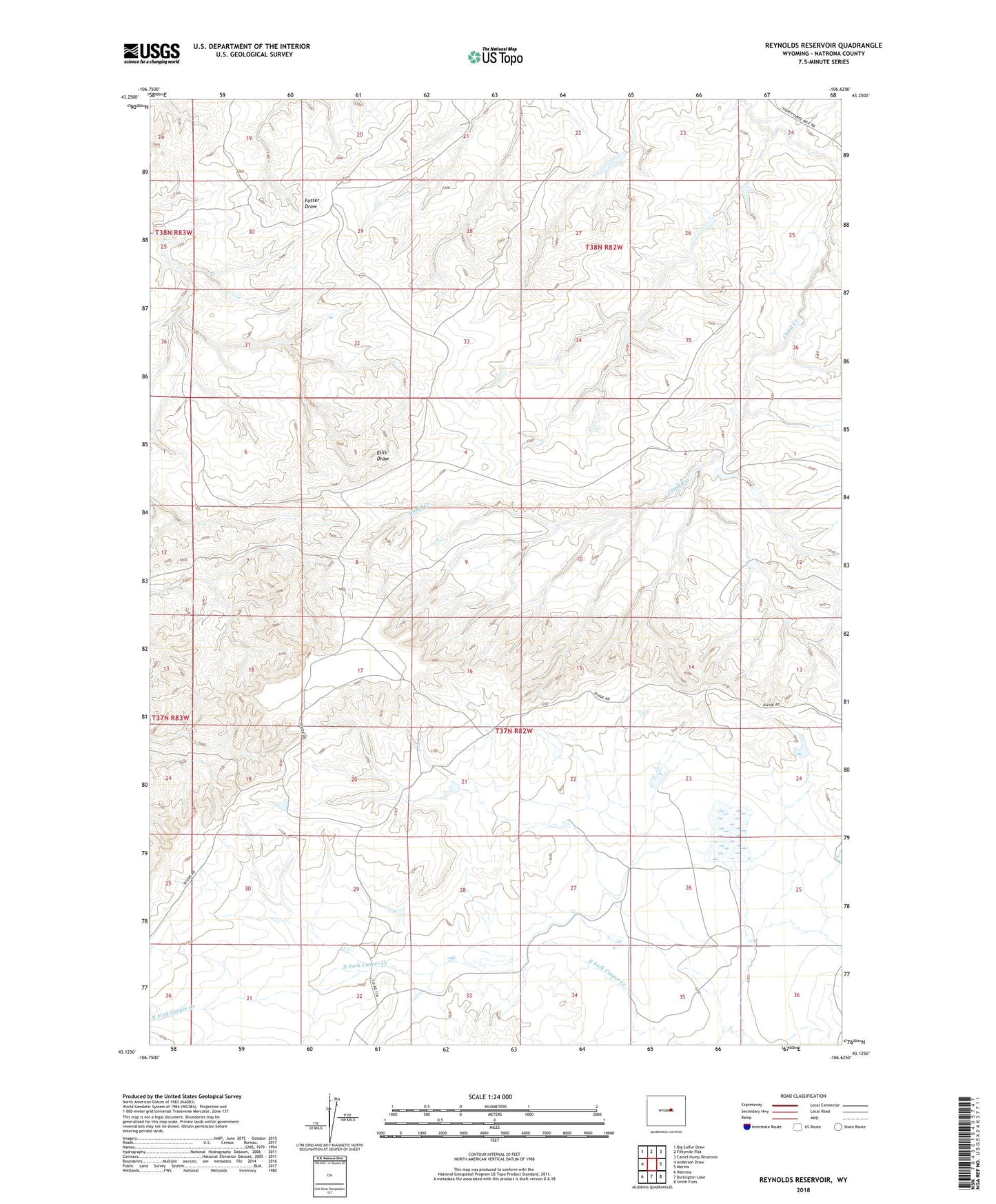
2021 topographic map quadrangle Reynolds Reservoir in the state of Wyoming. Scale: 1:24000. Based on the newly updated USGS 7.5' US Topo map series, this map is in the following counties: Natrona. The map contains contour data, water features, and other items you are used to seeing on USGS maps, but also has updated roads and other features. This is the next generation of topographic maps. Printed on high-quality waterproof paper with UV fade-resistant inks.
Quads adjacent to this one:
West: Anderson Draw
Northwest: Big Sulfur Draw
North: Fiftymile Flat
Northeast: Camel Hump Reservoir
East: Merino
Southeast: Smith Flats
South: Burlington Lake
Southwest: Natrona
This map covers the same area as the classic USGS quad with code o43106b6.
Contains the following named places: Beck Place, Reynolds Ditch, Reynolds Number 1 Dam, Reynolds Number 2 Dam, Reynolds Reservoir, Reynolds Reservoir Number 1, Reynolds Reservoir Number 2