MyTopo
Camel Hump Reservoir Wyoming US Topo Map
Couldn't load pickup availability
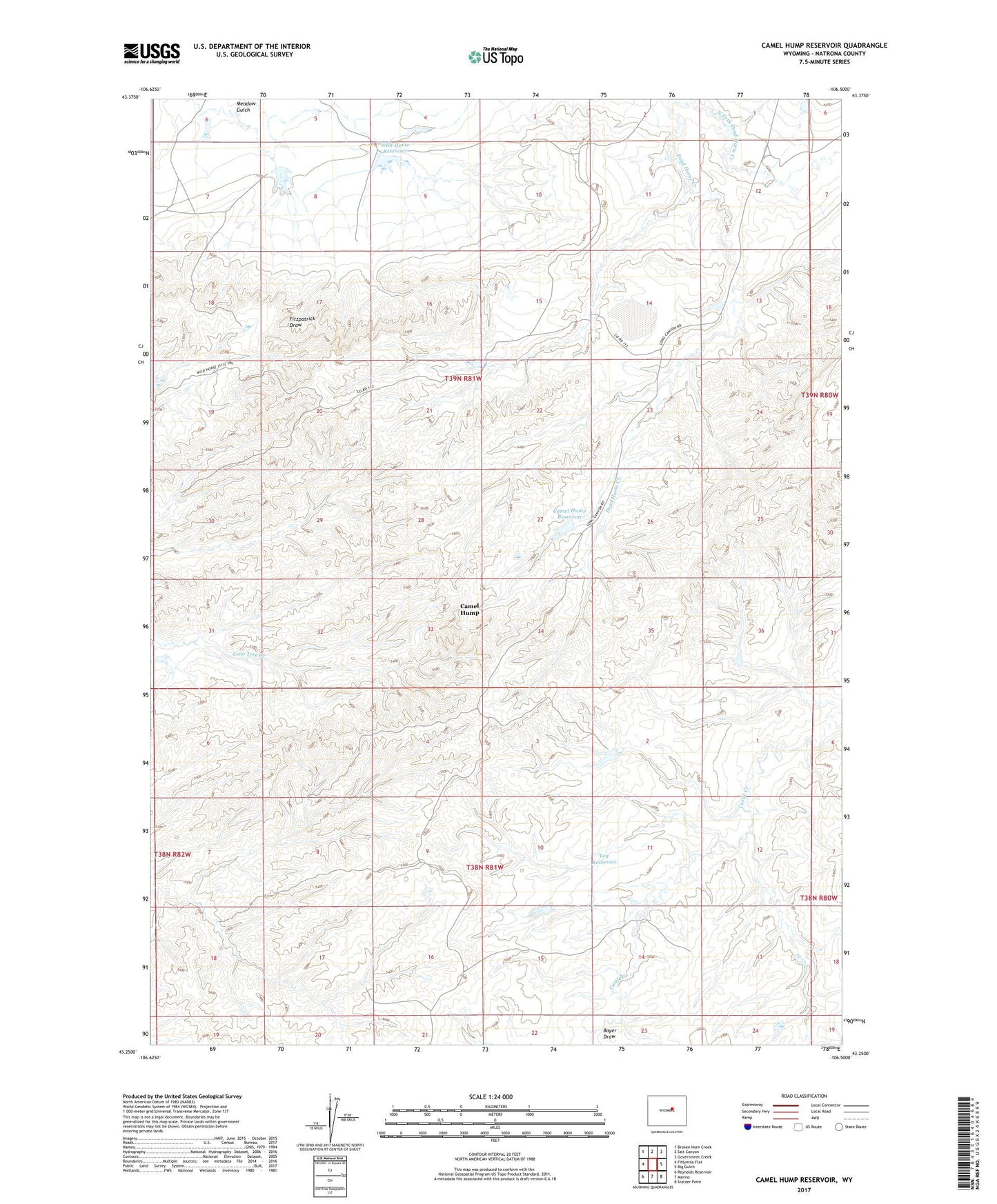
2021 topographic map quadrangle Camel Hump Reservoir in the state of Wyoming. Scale: 1:24000. Based on the newly updated USGS 7.5' US Topo map series, this map is in the following counties: Natrona. The map contains contour data, water features, and other items you are used to seeing on USGS maps, but also has updated roads and other features. This is the next generation of topographic maps. Printed on high-quality waterproof paper with UV fade-resistant inks.
Quads adjacent to this one:
West: Fiftymile Flat
Northwest: Broken Horn Creek
North: Salt Canyon
Northeast: Government Creek
East: Big Gulch
Southeast: Statzer Point
South: Merino
Southwest: Reynolds Reservoir
This map covers the same area as the classic USGS quad with code o43106c5.
Contains the following named places: Bayer Draw, Camel Hump, Camel Hump Reservoir, Greasewood Lake, Leg Dam, Leg Reservoir, Meadow Gulch, North Fork Dead Horse Creek, Wild Horse Dam, Wild Horse Reservoir