MyTopo
S R Springs Wyoming US Topo Map
Couldn't load pickup availability
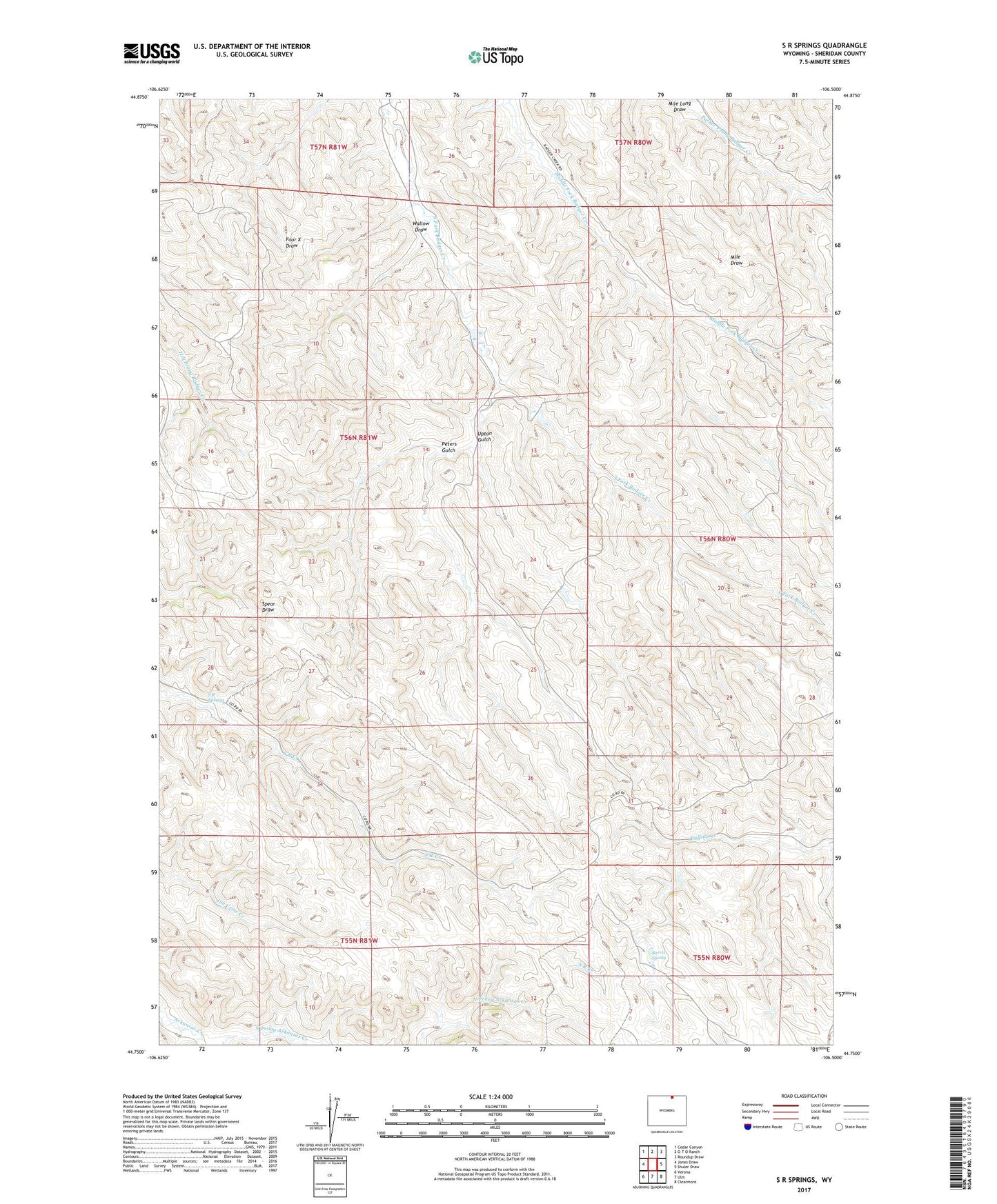
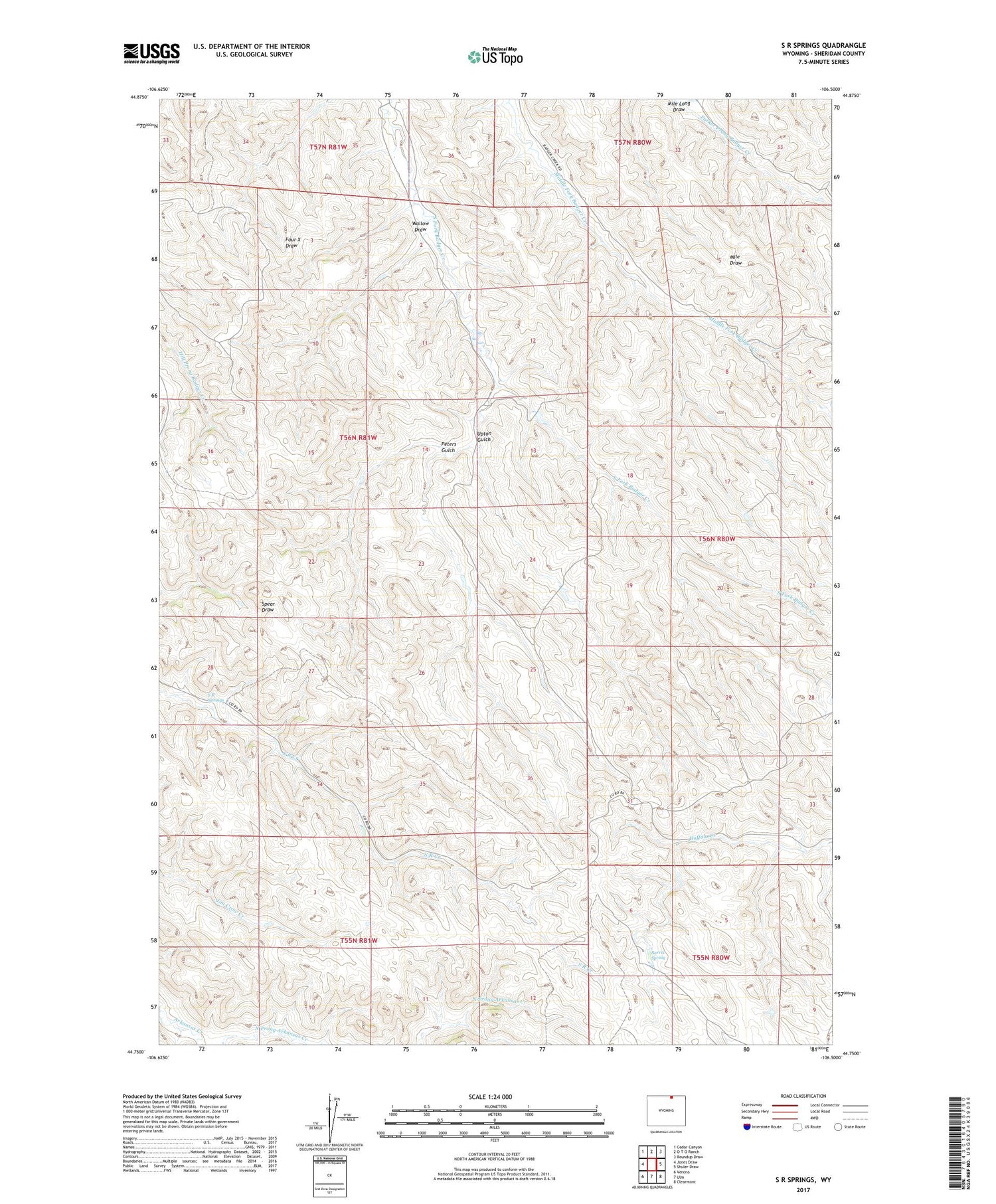
2021 topographic map quadrangle S R Springs in the state of Wyoming. Scale: 1:24000. Based on the newly updated USGS 7.5' US Topo map series, this map is in the following counties: Sheridan. The map contains contour data, water features, and other items you are used to seeing on USGS maps, but also has updated roads and other features. This is the next generation of topographic maps. Printed on high-quality waterproof paper with UV fade-resistant inks.
Quads adjacent to this one:
West: Jones Draw
Northwest: Cedar Canyon
North: O T O Ranch
Northeast: Roundup Draw
East: Shuler Draw
Southeast: Clearmont
South: Ulm
Southwest: Verona
Contains the following named places: 4 X Dam, 4 X Reservoir, Barrel Spring, Mile Long Draw, Peters Gulch, S R Springs, Upton Gulch, Wallow Draw