MyTopo
Seven L Creek West Wyoming US Topo Map
Couldn't load pickup availability
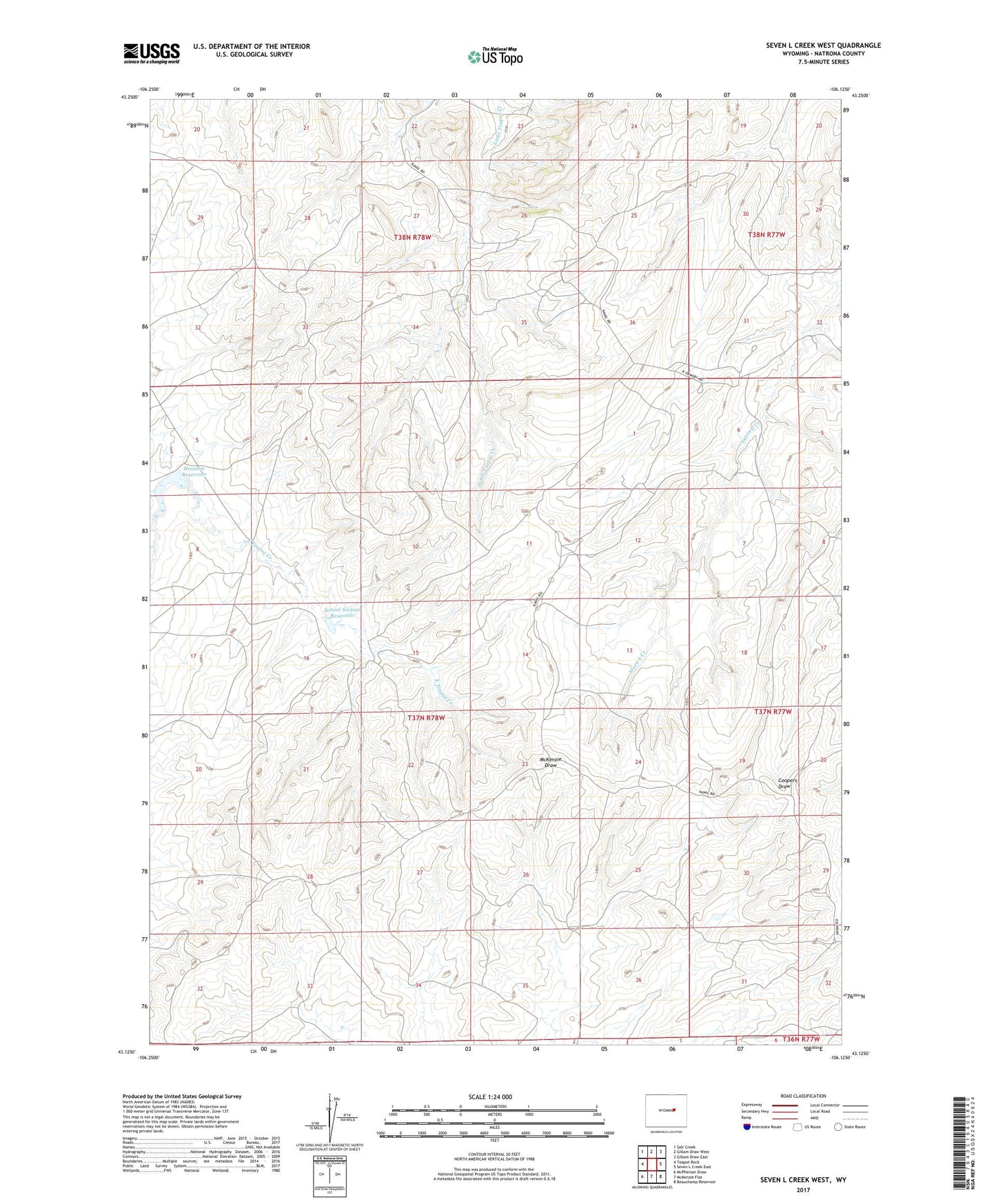
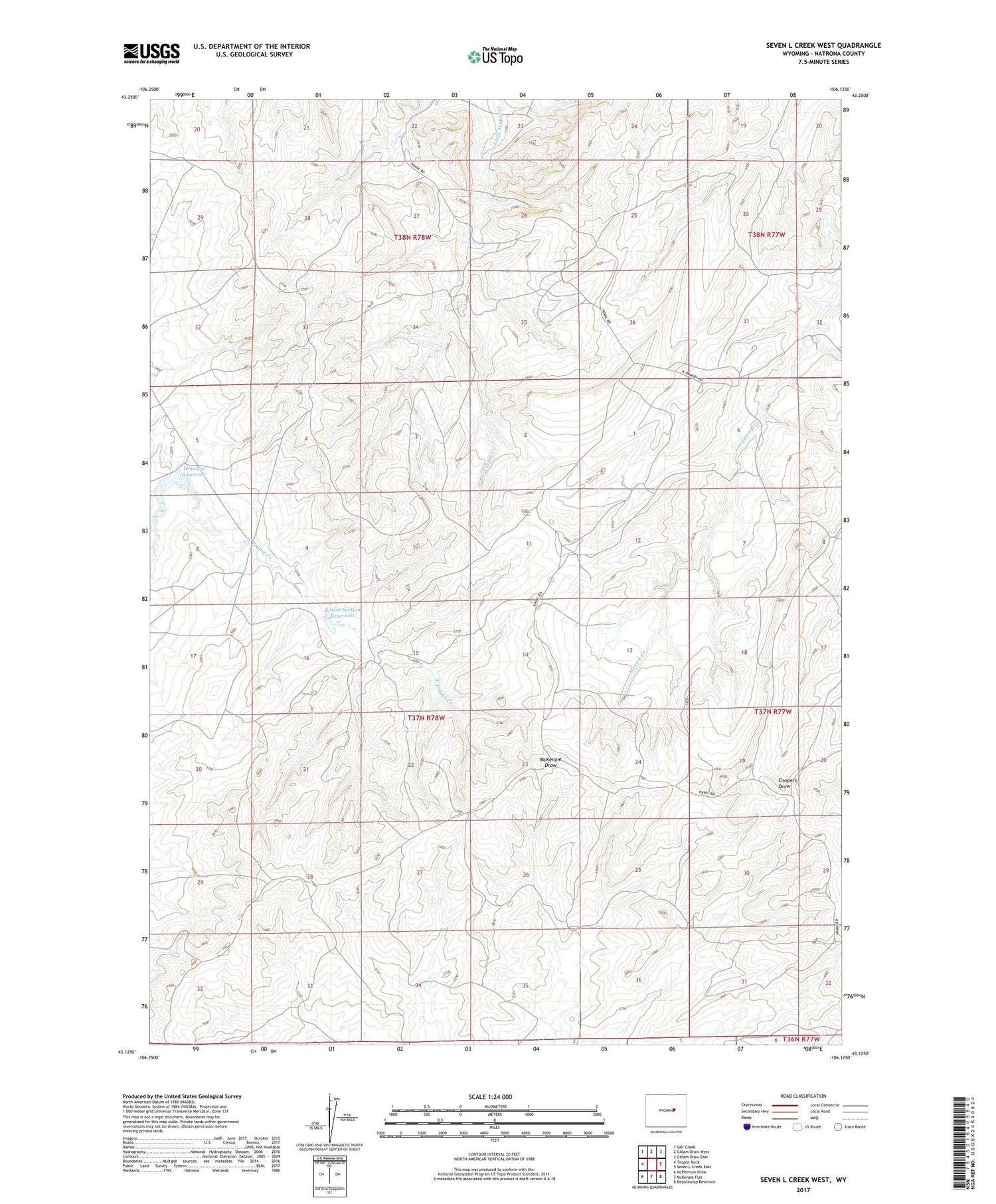
2021 topographic map quadrangle Seven L Creek West in the state of Wyoming. Scale: 1:24000. Based on the newly updated USGS 7.5' US Topo map series, this map is in the following counties: Natrona. The map contains contour data, water features, and other items you are used to seeing on USGS maps, but also has updated roads and other features. This is the next generation of topographic maps. Printed on high-quality waterproof paper with UV fade-resistant inks.
Quads adjacent to this one:
West: Teapot Rock
Northwest: Salt Creek
North: Gillam Draw West
Northeast: Gillam Draw East
East: Seven L Creek East
Southeast: Beauchamp Reservoir
South: McKenzie Flat
Southwest: McPherson Draw
Contains the following named places: Allemand Ranch, Burke Ranch Oil Field, Houston Dam, Houston Reservoir, North Sage Spring Creek Oil Field, Sage Spring Creek Oil Field, Sage Spring Creek Oil Field Area D, School Section Dam, School Section Reservoir