MyTopo
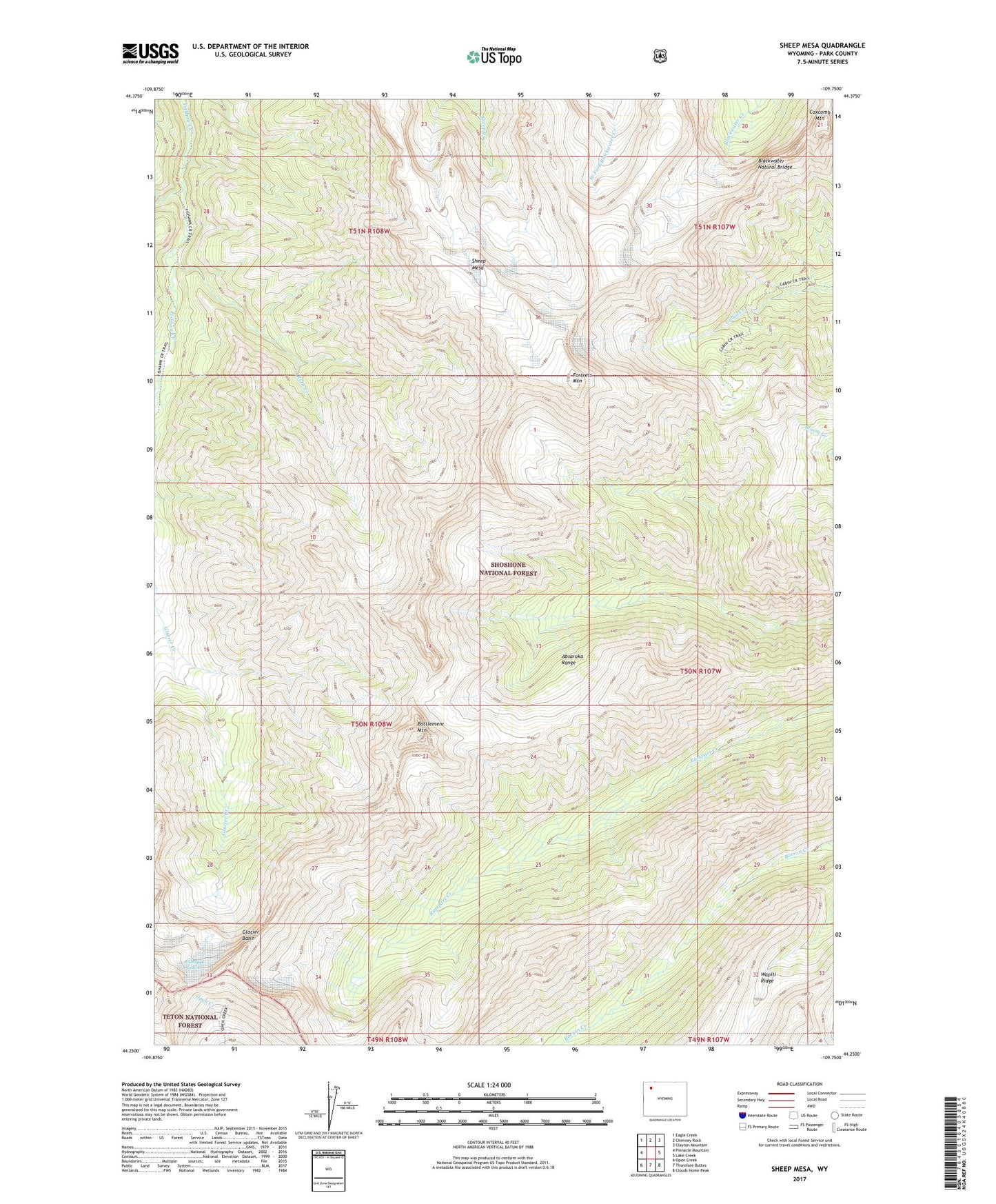
Sheep Mesa Wyoming US Topo Map
Couldn't load pickup availability
Also explore the Sheep Mesa Forest Service Topo of this same quad for updated USFS data
2021 topographic map quadrangle Sheep Mesa in the state of Wyoming. Scale: 1:24000. Based on the newly updated USGS 7.5' US Topo map series, this map is in the following counties: Park. The map contains contour data, water features, and other items you are used to seeing on USGS maps, but also has updated roads and other features. This is the next generation of topographic maps. Printed on high-quality waterproof paper with UV fade-resistant inks.
Quads adjacent to this one:
West: Pinnacle Mountain
Northwest: Eagle Creek
North: Chimney Rock
Northeast: Clayton Mountain
East: Lake Creek
Southeast: Clouds Home Peak
South: Thorofare Buttes
Southwest: Open Creek
This map covers the same area as the classic USGS quad with code o44109c7.
Contains the following named places: Battlement Mountain, Blackwater Natural Bridge, Coxcomb Mountain, Eyrie Creek, Fishhawk Glacier, Fortress Mountain, Overlook Mountain, Ruth Creek, Sheep Mesa