MyTopo
Sheridan Pass Wyoming US Topo Map
Couldn't load pickup availability
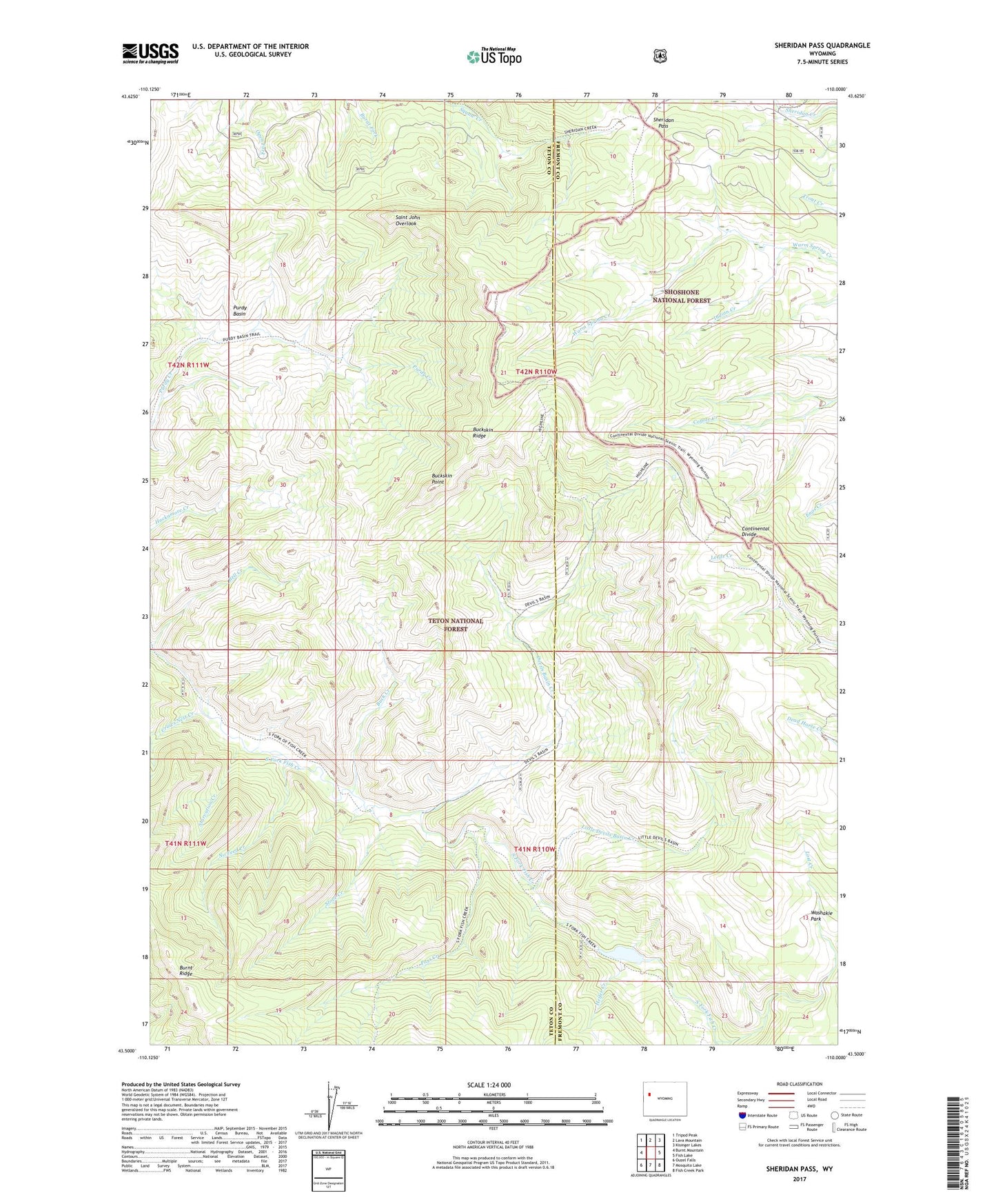
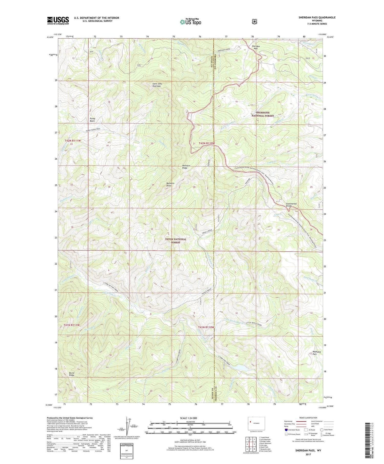
2021 topographic map quadrangle Sheridan Pass in the state of Wyoming. Scale: 1:24000. Based on the newly updated USGS 7.5' US Topo map series, this map is in the following counties: Teton, Fremont. The map contains contour data, water features, and other items you are used to seeing on USGS maps, but also has updated roads and other features. This is the next generation of topographic maps. Printed on high-quality waterproof paper with UV fade-resistant inks.
Quads adjacent to this one:
West: Burnt Mountain
Northwest: Tripod Peak
North: Lava Mountain
Northeast: Kisinger Lakes
East: Fish Lake
Southeast: Fish Creek Park
South: Mosquito Lake
Southwest: Ouzel Falls
Contains the following named places: Buck Creek, Buckskin Point, Buckskin Ridge, Crows Nest Creek, Devils Basin Creek, Heifer Creek, Indian Creek, Little Devils Basin Creek, Lost Creek, No Feed Creek, Pass Creek, Purdy Basin, Saint John Overlook, Sheridan Pass, South Fork Fish Creek Trail, Starvation Creek, Stove Creek, Washakie Park