MyTopo
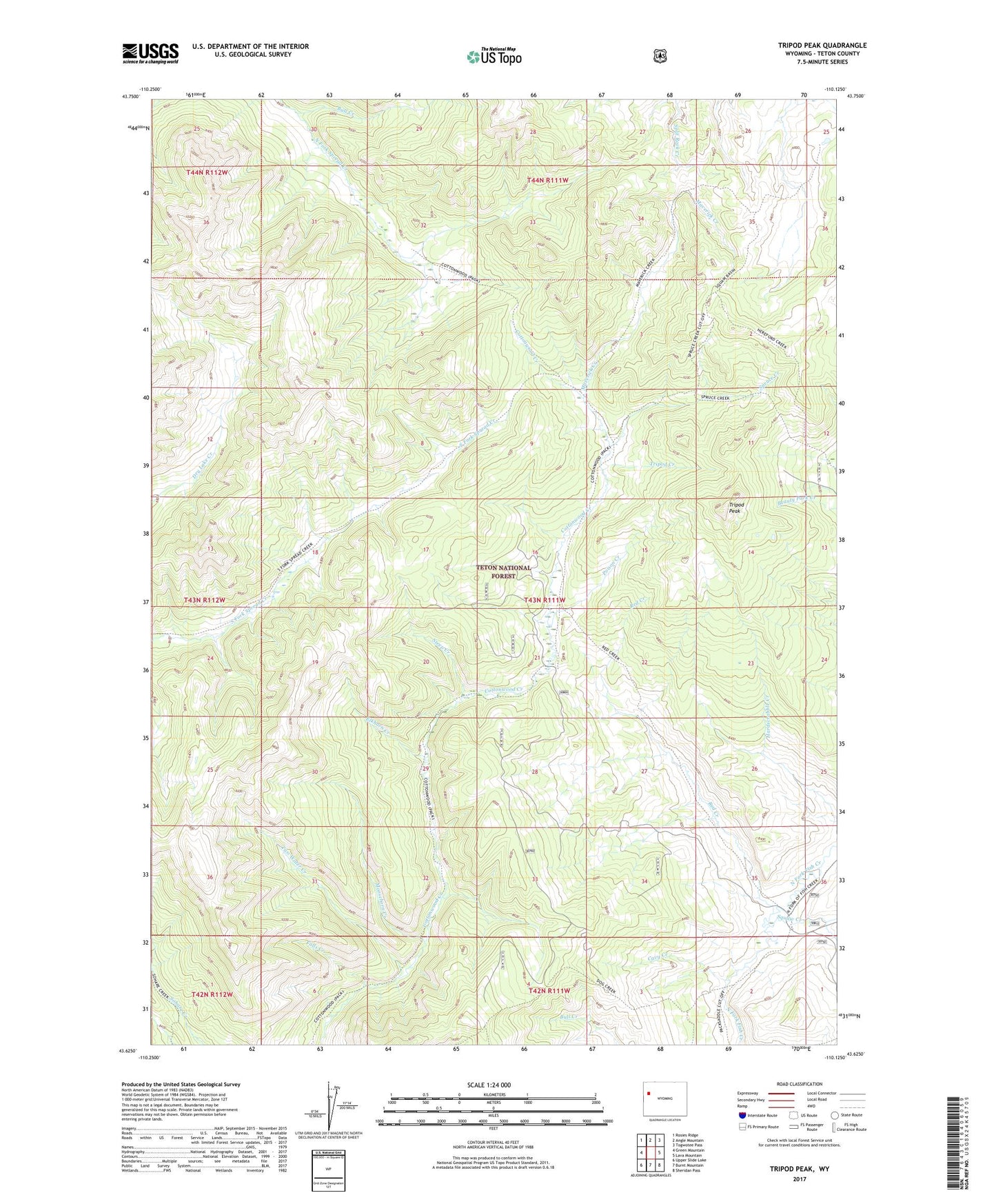
Tripod Peak Wyoming US Topo Map
Couldn't load pickup availability
Also explore the Tripod Peak Forest Service Topo of this same quad for updated USFS data
2023 topographic map quadrangle Tripod Peak in the state of Wyoming. Scale: 1:24000. Based on the newly updated USGS 7.5' US Topo map series, this map is in the following counties: Teton. The map contains contour data, water features, and other items you are used to seeing on USGS maps, but also has updated roads and other features. This is the next generation of topographic maps. Printed on high-quality waterproof paper with UV fade-resistant inks.
Quads adjacent to this one:
West: Green Mountain
Northwest: Rosies Ridge
North: Angle Mountain
Northeast: Togwotee Pass
East: Lava Mountain
Southeast: Sheridan Pass
South: Burnt Mountain
Southwest: Upper Slide Lake
This map covers the same area as the classic USGS quad with code o43110f2.
Contains the following named places: Cavy Creek, Elkhorn Creek, Falls Creek, Maverick Creek, Moosehorn Creek, Papoose Creek, Poison Creek, Red Creek, Spruce Creek, Squaw Creek, Steep Creek, Tripod Creek, Tripod Peak, Two Water Creek