MyTopo
Stone Barn Camp Wyoming US Topo Map
Couldn't load pickup availability
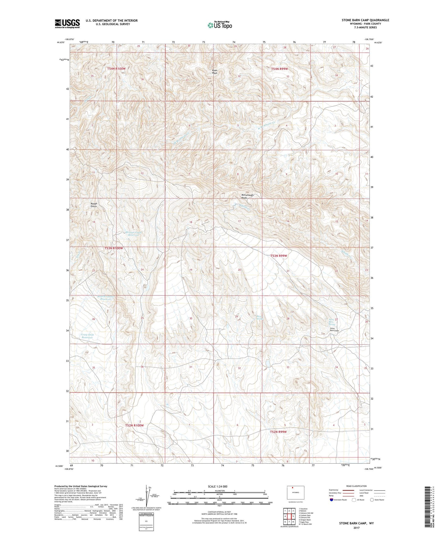
2021 topographic map quadrangle Stone Barn Camp in the state of Wyoming. Scale: 1:24000. Based on the newly updated USGS 7.5' US Topo map series, this map is in the following counties: Park. The map contains contour data, water features, and other items you are used to seeing on USGS maps, but also has updated roads and other features. This is the next generation of topographic maps. Printed on high-quality waterproof paper with UV fade-resistant inks.
Quads adjacent to this one:
West: Corbett Dam
Northwest: Vocation
North: Ralston
Northeast: Gilmore Hill NW
East: Gilmore Hill
Southeast: Y U Bench NW
South: Eagle Pass
Southwest: Oregon Basin
This map covers the same area as the classic USGS quad with code o44108e7.
Contains the following named places: Back Scratcher Reservoir, Black Spring, Crazy Quilt Reservoir, McCullough Peaks, McLean Gulch Reservoir, Stone Barn Camp, Stone Barn Spring