MyTopo
Summit Lake Wyoming US Topo Map
Couldn't load pickup availability
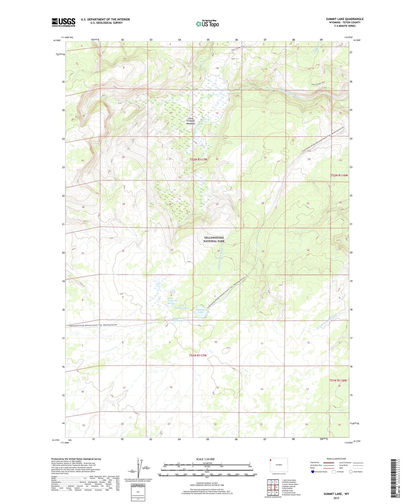
2021 topographic map quadrangle Summit Lake in the state of Wyoming. Scale: 1:24000. Based on the newly updated USGS 7.5' US Topo map series, this map is in the following counties: Teton. The map contains contour data, water features, and other items you are used to seeing on USGS maps, but also has updated roads and other features. This is the next generation of topographic maps. Printed on high-quality waterproof paper with UV fade-resistant inks.
Quads adjacent to this one:
West: Buffalo Lake NE
Northwest: Jack Straw Basin
North: Buffalo Meadows
Northeast: Lower Geyser Basin
East: Old Faithful
Southeast: Shoshone Geyser Basin
South: Trischman Knob
Southwest: Buffalo Lake
This map covers the same area as the classic USGS quad with code o44110d8.
Contains the following named places: Little Firehole Meadows, Little Summit Lake, Plateau Lake, Smoke Jumper Hot Springs, Summit Lake, Summit Lake Hot Springs, Summit Lake Trail