MyTopo
Walck Ranch Wyoming US Topo Map
Couldn't load pickup availability
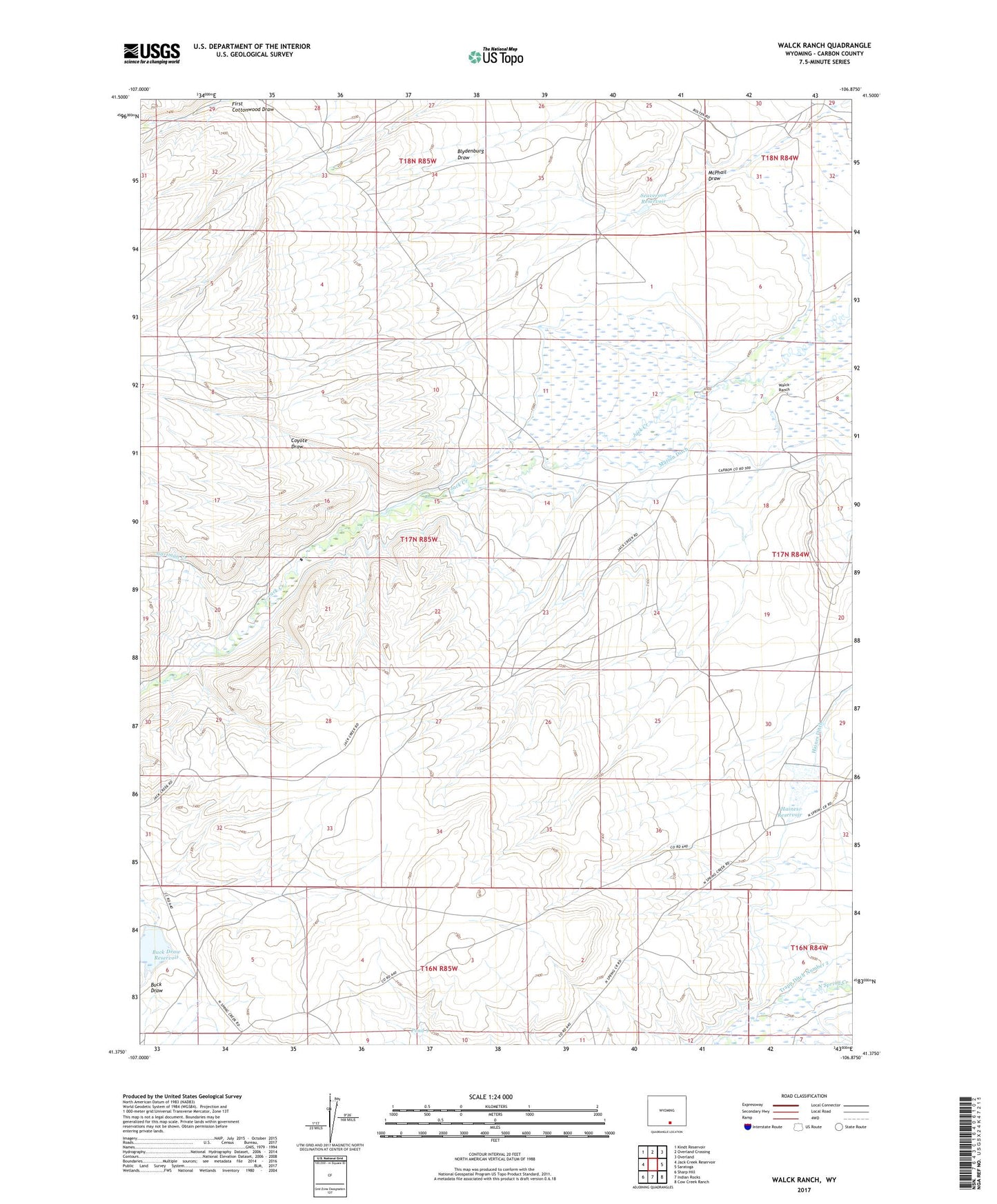
2021 topographic map quadrangle Walck Ranch in the state of Wyoming. Scale: 1:24000. Based on the newly updated USGS 7.5' US Topo map series, this map is in the following counties: Carbon. The map contains contour data, water features, and other items you are used to seeing on USGS maps, but also has updated roads and other features. This is the next generation of topographic maps. Printed on high-quality waterproof paper with UV fade-resistant inks.
Quads adjacent to this one:
West: Jack Creek Reservoir
Northwest: Kindt Reservoir
North: Overland Crossing
Northeast: Overland
East: Saratoga
Southeast: Cow Creek Ranch
South: Indian Rocks
Southwest: Sharp Hill
This map covers the same area as the classic USGS quad with code o41106d8.
Contains the following named places: Blydenburg and Morgan North Ditch, Blydenburg and Morgan South Ditch, Buck Draw, Buck Draw Dam, Buck Draw Reservoir, Christensen Ranch, Coyote Draw, Donald Mcphail Ditch, Enberg Ranch, Gartman Creek, Haines Dam, Haines Ditch, Haines Reservoir, Marion Ditch, Pond 9, Seaverson Dam, Seaverson Reservoir, Snow Creek, Trapp Ditch Number 1, Trapp Ditch Number 2, Walck Ranch