

Classic USGS Quads
(7.5' series)
These pre-2009, 1:24,000 scale, 7.5 minute maps are the standard for topographic mapping in the US and are widely considered the most detailed maps available. Nearly all navigation apps, software, and trail maps series, including the new US Topo Maps, are derived from these maps. Many outdoors people still prefer the classic quads due to the unmatched level of detail, accuracy, and symbology honed over a 100-year period by dedicated cartographers and surveyors employed by the US Government.
In 2009, the USGS began producing a digitized version of the maps, called the US Topo, in order to keep up with new road systems and development, but the "Classic" quads have a level of detail not yet achieved by the new versions and remain the preferred option for many topographic map users.
-
Classic USGS Francesville Indiana 7.5'x7.5' Topo Map
Regular price $16.95Regular priceUnit price per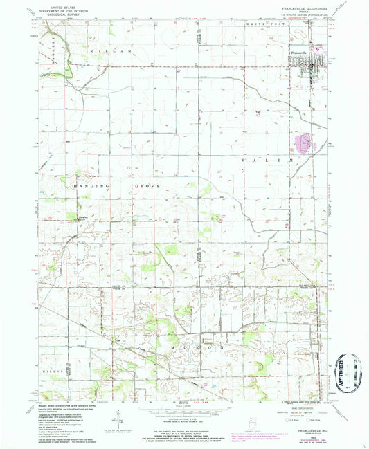
-
Classic USGS Francisco Indiana 7.5'x7.5' Topo Map
Regular price $16.95Regular priceUnit price per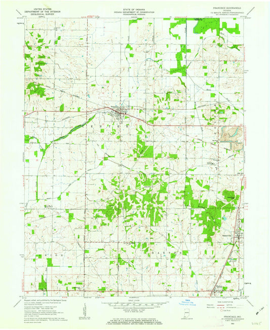
-
Classic USGS Frankfort Indiana 7.5'x7.5' Topo Map
Regular price $16.95Regular priceUnit price per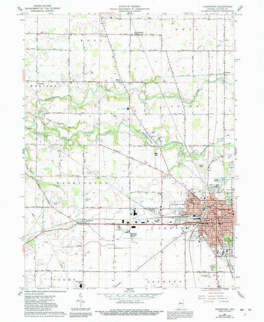
-
Classic USGS Franklin Indiana 7.5'x7.5' Topo Map
Regular price $16.95Regular priceUnit price per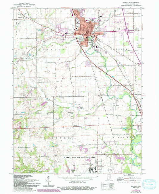
-
Classic USGS Frankton Indiana 7.5'x7.5' Topo Map
Regular price $16.95Regular priceUnit price per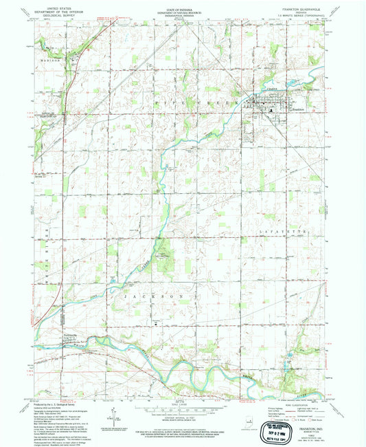
-
Classic USGS Fredericksburg Indiana 7.5'x7.5' Topo Map
Regular price $16.95Regular priceUnit price per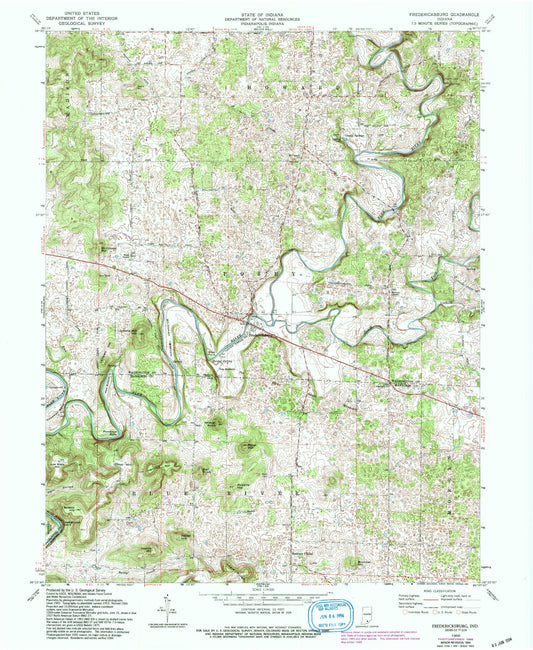
-
Classic USGS Freedom Indiana 7.5'x7.5' Topo Map
Regular price $16.95Regular priceUnit price per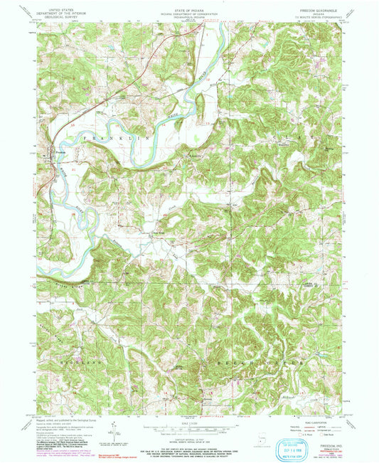
-
Classic USGS French Lick Indiana 7.5'x7.5' Topo Map
Regular price $16.95Regular priceUnit price per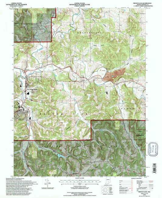
-
Classic USGS Fritchton Indiana 7.5'x7.5' Topo Map
Regular price $16.95Regular priceUnit price per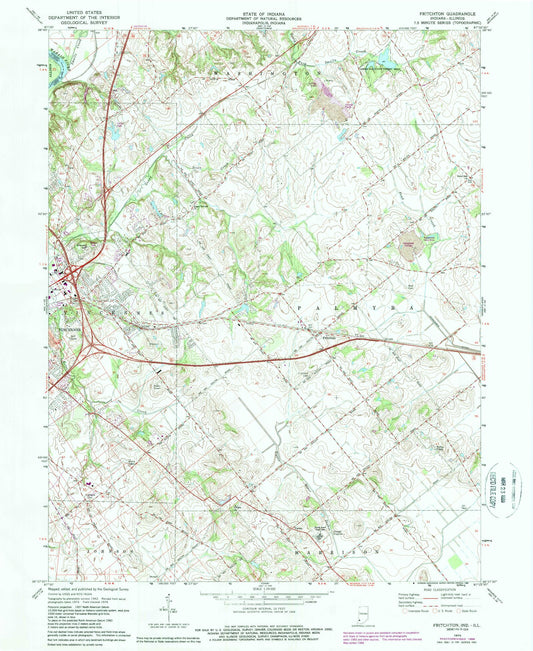
-
Classic USGS Fulda Indiana 7.5'x7.5' Topo Map
Regular price $16.95Regular priceUnit price per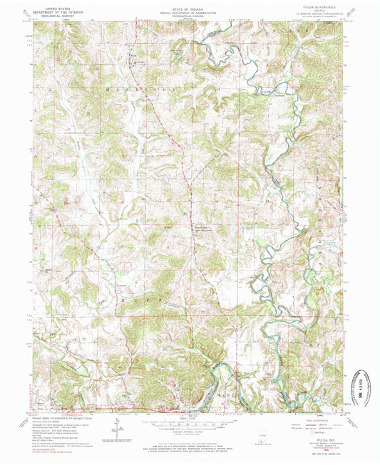
-
Classic USGS Fulton Indiana 7.5'x7.5' Topo Map
Regular price $16.95Regular priceUnit price per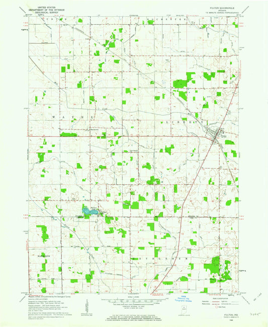
-
Classic USGS Galien Michigan 7.5'x7.5' Topo Map
Regular price $16.95Regular priceUnit price per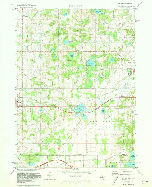
-
Classic USGS Galveston Indiana 7.5'x7.5' Topo Map
Regular price $16.95Regular priceUnit price per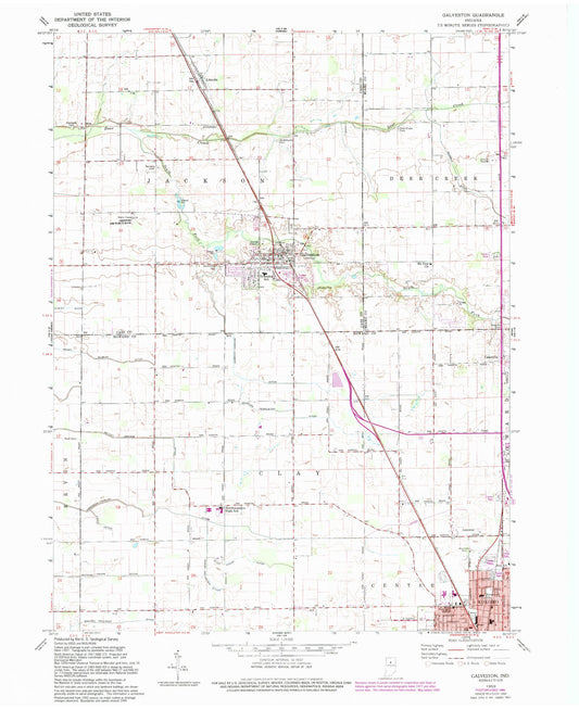
-
Classic USGS Garrett Indiana 7.5'x7.5' Topo Map
Regular price $16.95Regular priceUnit price per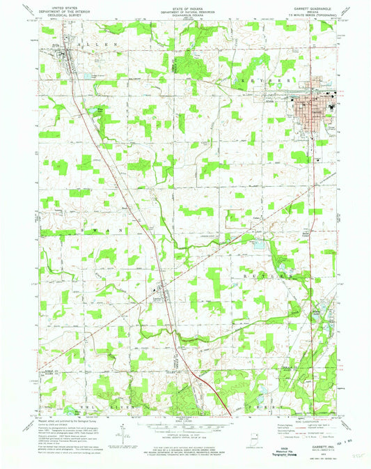
-
Classic USGS Gary Indiana 7.5'x7.5' Topo Map
Regular price $16.95Regular priceUnit price per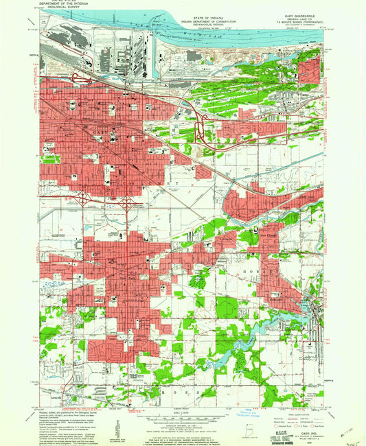
-
Classic USGS Gas City Indiana 7.5'x7.5' Topo Map
Regular price $16.95Regular priceUnit price per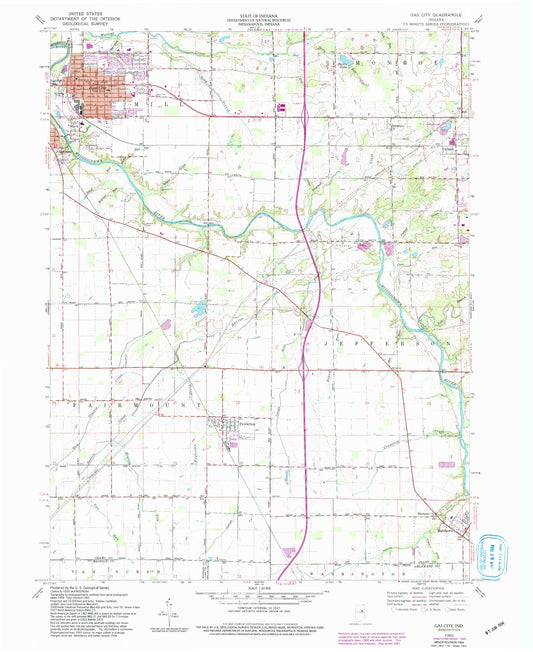
-
Classic USGS Gaston Indiana 7.5'x7.5' Topo Map
Regular price $16.95Regular priceUnit price per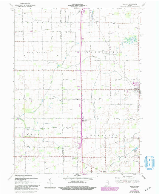
-
Classic USGS Gatchel Indiana 7.5'x7.5' Topo Map
Regular price $16.95Regular priceUnit price per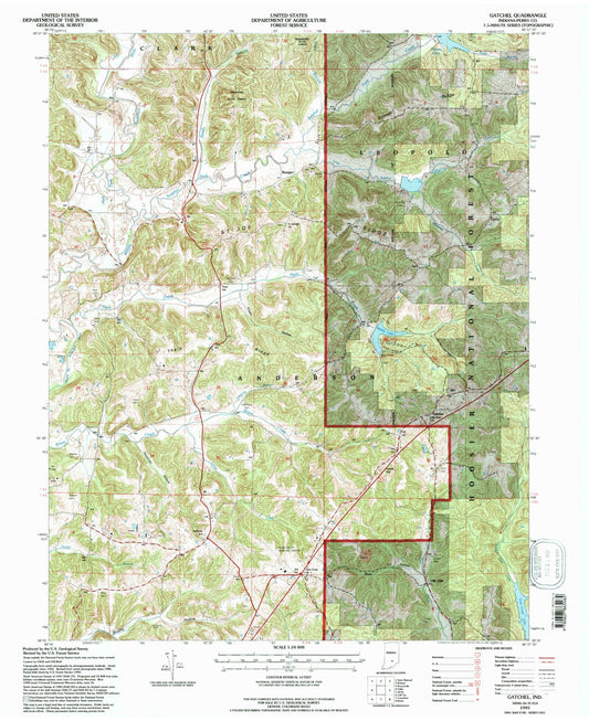
-
Classic USGS Geneva Indiana 7.5'x7.5' Topo Map
Regular price $16.95Regular priceUnit price per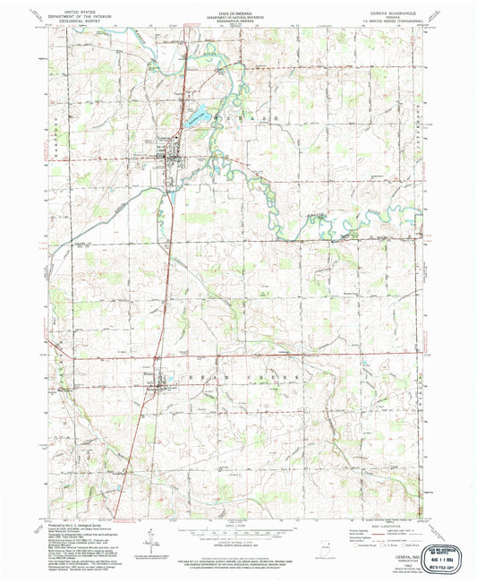
-
Classic USGS Georgetown Indiana 7.5'x7.5' Topo Map
Regular price $16.95Regular priceUnit price per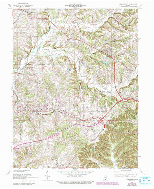
-
Classic USGS Georgia Indiana 7.5'x7.5' Topo Map
Regular price $16.95Regular priceUnit price per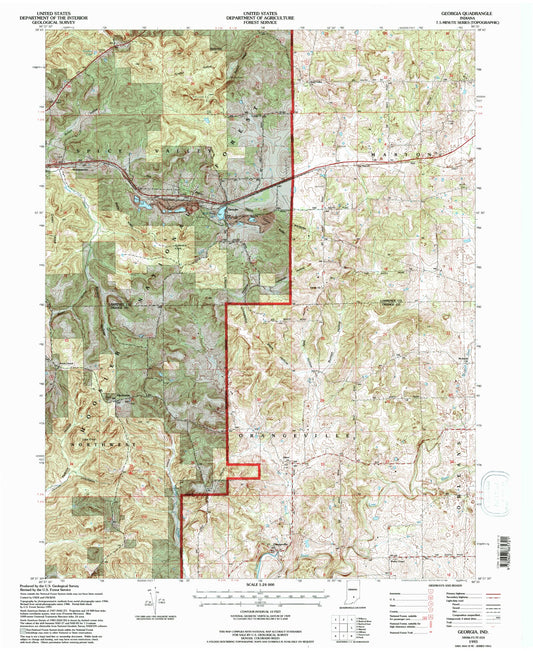
-
Classic USGS Gifford Indiana 7.5'x7.5' Topo Map
Regular price $16.95Regular priceUnit price per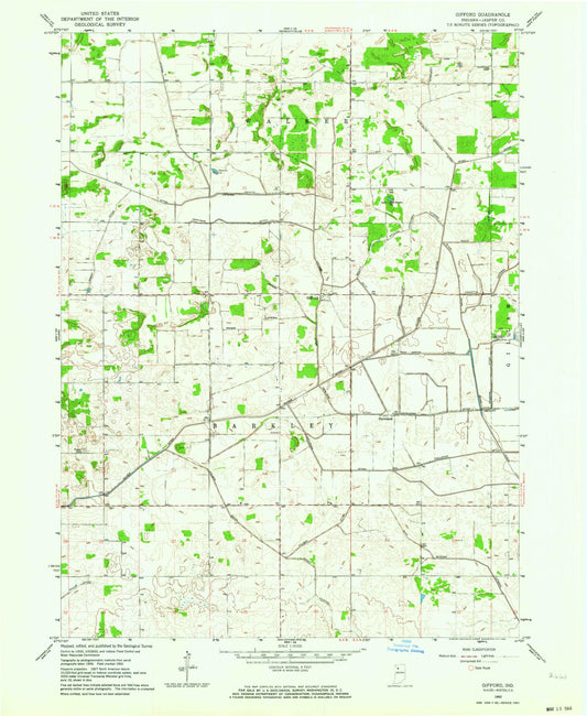
-
Classic USGS Gilman Indiana 7.5'x7.5' Topo Map
Regular price $16.95Regular priceUnit price per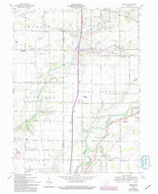
-
Classic USGS Glendale Indiana 7.5'x7.5' Topo Map
Regular price $16.95Regular priceUnit price per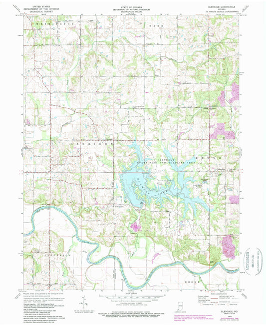


Custom Maps Available
Need something special?
Find your map's location and then customize a map (or photo) to your exact specifications.
USGS Map Legend
Want the "key" to understanding your topographic map?
Check out this handy publication from the USGS.