MyTopo
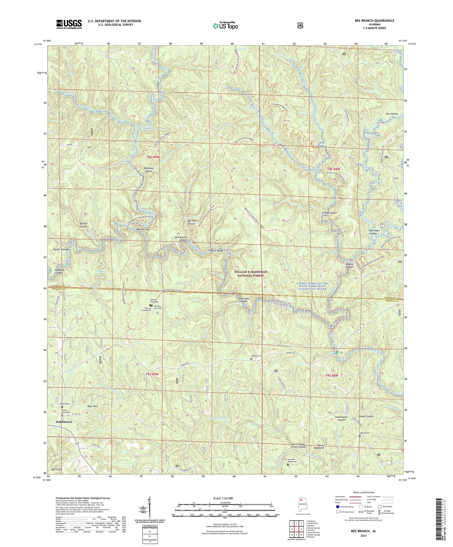
Bee Branch Alabama US Topo Map
Couldn't load pickup availability
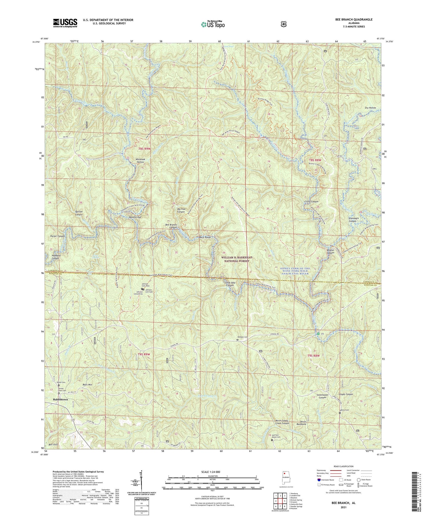
Also explore the Bee Branch Forest Service Topo of this same quad for updated USFS data
2024 topographic map quadrangle Bee Branch in the state of Alabama. Scale: 1:24000. Based on the newly updated USGS 7.5' US Topo map series, this map is in the following counties: Lawrence, Winston. The map contains contour data, water features, and other items you are used to seeing on USGS maps, but also has updated roads and other features. This is the next generation of topographic maps. Printed on high-quality waterproof paper with UV fade-resistant inks.
Quads adjacent to this one:
West: Kinlock Spring
Northwest: Newburg
North: Landersville
Northeast: Moulton
East: Grayson
Southeast: Houston
South: Double Springs
Southwest: Haleyville East
This map covers the same area as the classic USGS quad with code o34087c4.
Contains the following named places: Adkins Cemetery, Balls Mountain, Bee Branch, Bee Branch Canyon, Bee Branch Scenic Area, Big Tree Canyon, Borden Creek, Borden Creek Trail, Braziel Canyon, Braziel Creek, Braziel Creek Trail, Buck Rough, Clifty Canyon, Cranal Post Office, Devils Backbone, Dry Hollow, Fall Creek, Flannagin Canyon, Flannagin Creek, Garrison-Payne Cemetery, Gum Pond, Hagood Creek, Hubbard Canyon, Hubbard Creek, Hunter Camp, Johnson Cemeteries, Johnson Cemetery East, Johnson Cemetery West, Johnson Church, Little Ugly Canyon, Needles Eye, New Brashier Church, North Caney Creek Canyon, North Fork Caney Creek, Parker Branch, Parker Canyon, Parker Cascades, Parker Falls, Quillan Canyon, Quillan Creek, Rabbittown, Ross Branch, Shiloh Cemetery, Shiloh East Cemetery, Shiloh Missionary Baptist Church, Shiloh School, Sipsey Fork of the West Fork Wild and Scenic River, Sipsey River Recreational Area, Sipsey Wilderness, South Fork Caney Creek, Tedford Creek, Thompson Creek, Turkey Foot Station Forest Camp, Ugly Creek, Union Chapel School, Washington School, White Oak Branch, Whiteoak Hollow, Wolf Pen Branch, Wolfpen Cemetery