MyTopo
Houston Alabama US Topo Map
Couldn't load pickup availability
Also explore the Houston Forest Service Topo of this same quad for updated USFS data
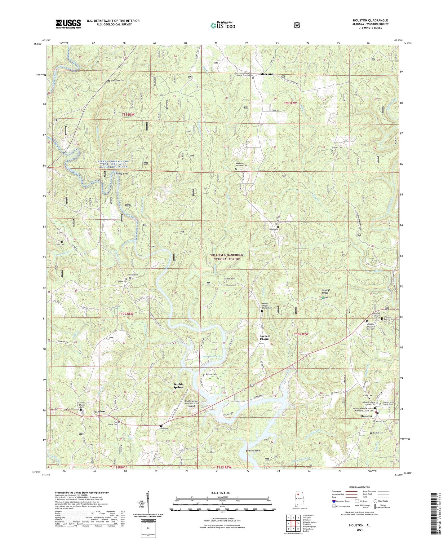
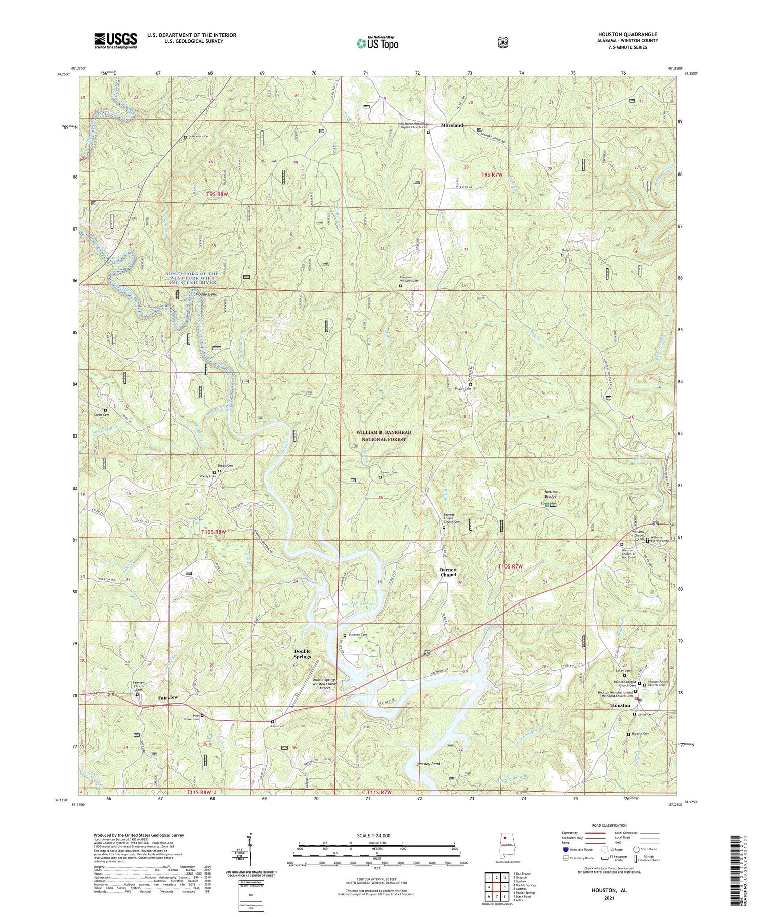
2024 topographic map quadrangle Houston in the state of Alabama. Scale: 1:24000. Based on the newly updated USGS 7.5' US Topo map series, this map is in the following counties: Winston. The map contains contour data, water features, and other items you are used to seeing on USGS maps, but also has updated roads and other features. This is the next generation of topographic maps. Printed on high-quality waterproof paper with UV fade-resistant inks.
Quads adjacent to this one:
West: Double Springs
Northwest: Bee Branch
North: Grayson
Northeast: Upshaw
East: Addison
Southeast: Arley
South: Black Pond
Southwest: Poplar Springs
This map covers the same area as the classic USGS quad with code o34087b3.
Contains the following named places: Adair Chapel, Bailey Cemetery, Barnett Cemetery, Barnett Chapel, Barnett Chapel Church Cemetery, Barnett School, Beasley Bend, Buck Branch, Bull Branch, Burdick Cemetery, Cane Creek, Coles Mill, Curtis Cemetery, Curtis Mill Creek, Double Springs-Winston County Airport, Dragout Cemetery, Enon Cemetery, Fairview, Fairview Cemetery, Fairview Church, Fairview School, Fairview Work Center, Freeman-Williams Cemetery, Grindstone Creek, Holly Grove School, Houston, Houston Baptist Church Cemetery, Houston Church, Houston Church of God Cemetery, Houston Jail, Houston Memorial United Methodist Church Cemetery, Houston Moreland Volunteer Fire Department, Houston Post Office, Houston School, Houston Union Church, Houston Union Church Cemetery, Inman Creek, Lakeshore, Littles Cemetery, Lowrimore Cemetery, Memorial Church, Mill Creek, Moody Bend, Moody Cemetery, Moreland, Moreland Lookout Tower, Natural Bridge, Natural Bridge Recreation Area, New Home Church, New Home Missionary Baptist Church Cemetery, Pair School, Payne Creek, Penitentiary Branch, Pine Grove Church, Pine Grove Church of God Cemetery, Pisgah Cemetery, Robinson Bottoms, Sandy Creek, Shadix Cemetery, Shadix Post Office, Shipman Cemetery, Wilburns Mill, William B. Bankhead National Forest, Williams Chapel Cemetery, Williams-Everett Cemetery, Winston County, ZIP Code: 35572


