MyTopo
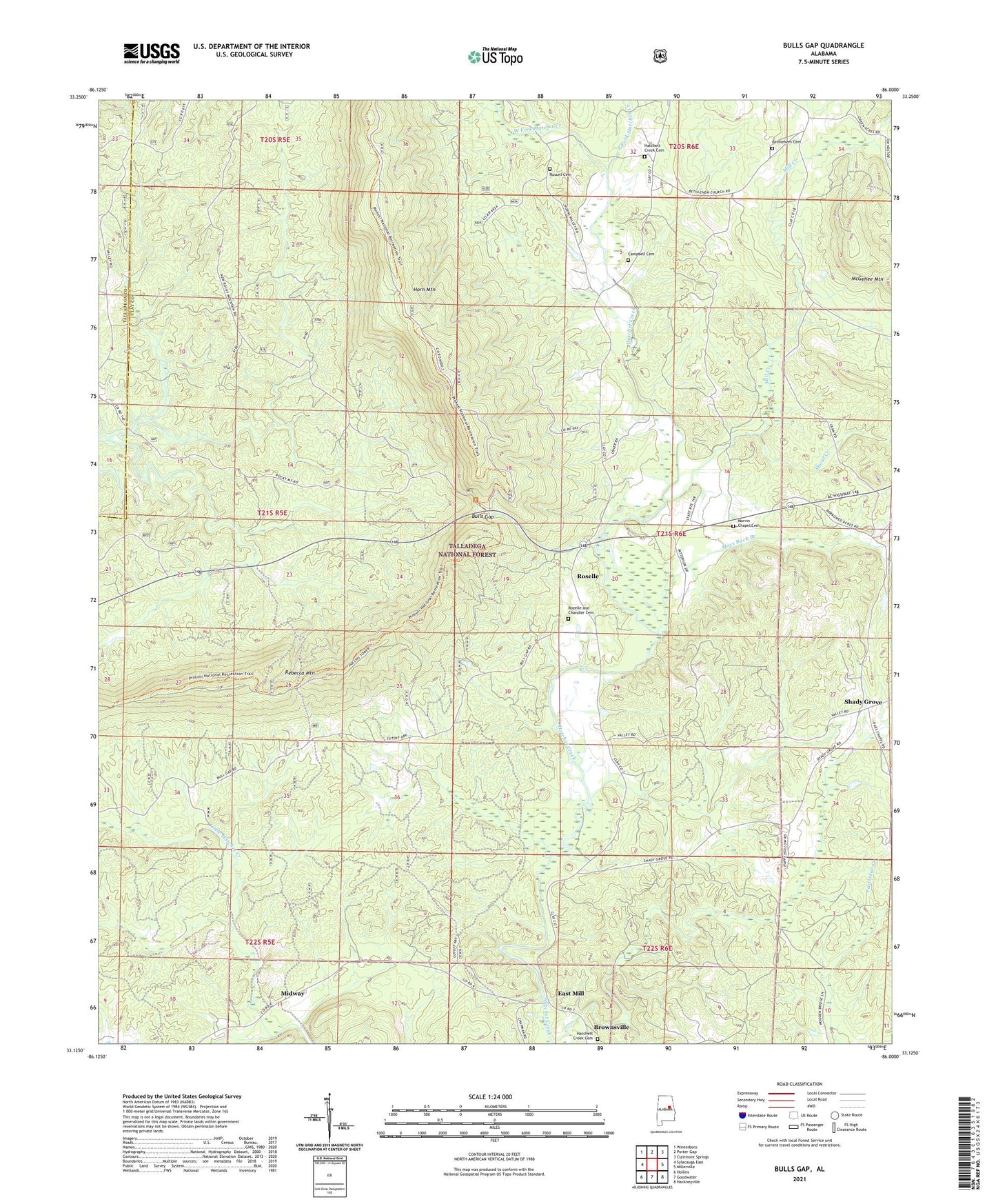
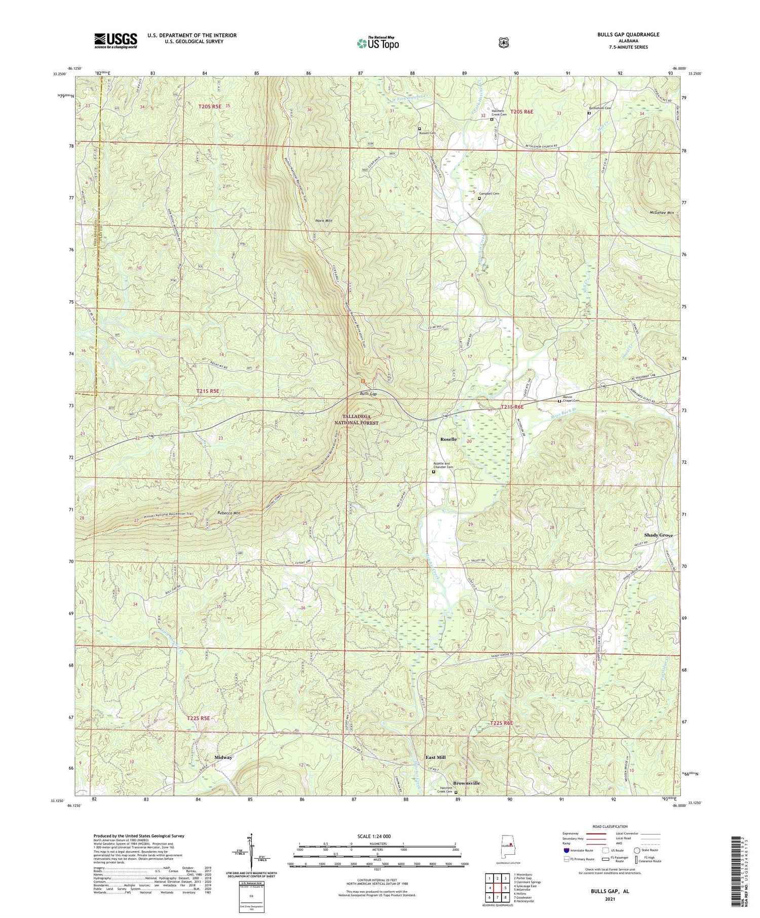
Bulls Gap Alabama US Topo Map
Couldn't load pickup availability
Also explore the Bulls Gap Forest Service Topo of this same quad for updated USFS data
2024 topographic map quadrangle Bulls Gap in the state of Alabama. Scale: 1:24000. Based on the newly updated USGS 7.5' US Topo map series, this map is in the following counties: Clay, Talladega. The map contains contour data, water features, and other items you are used to seeing on USGS maps, but also has updated roads and other features. This is the next generation of topographic maps. Printed on high-quality waterproof paper with UV fade-resistant inks.
Quads adjacent to this one:
West: Sylacauga East
Northwest: Winterboro
North: Porter Gap
Northeast: Clairmont Springs
East: Millerville
Southeast: Hackneyville
South: Goodwater
Southwest: Hollins
This map covers the same area as the classic USGS quad with code o33086b1.
Contains the following named places: Bethlehem Cemetery, Bethlehem Methodist Church, Brownsville, Bulls Gap, Campbell Cemetery, East Fork Hatchet Creek, East Mill, Faith Baptist Church of the Deaf, First Baptist Church, First Presbyterian Church, Gage, Garrett Prospect, Harral Mine, Hatcher Post Office, Hatchet Creek, Hatchett Creek Baptist Church, Hatchett Creek Cemetery, Hatchett Creek Presbyterian Church, Hollins Fire Tower, Hollins Hunter Camp, Hollins Wildlife Camping Area, Hollins Wildlife Management Area, Hopewell Church, Littles Mill, Marvin Chapel, Marvin Chapel Cemetery, McGhee Mine, Midway, Midway School, Mill Creek, Millerville-Hollins Division, Moss Rock Branch, Pierces Mill, Rocky Mountain Church, Roselle, Rozelle and Chandler Cemetery, Russell Cemetery, Shady Grove, Shady Grove Church, Shoal Creek, Sommers School, West Fork Hatchet Creek


