MyTopo
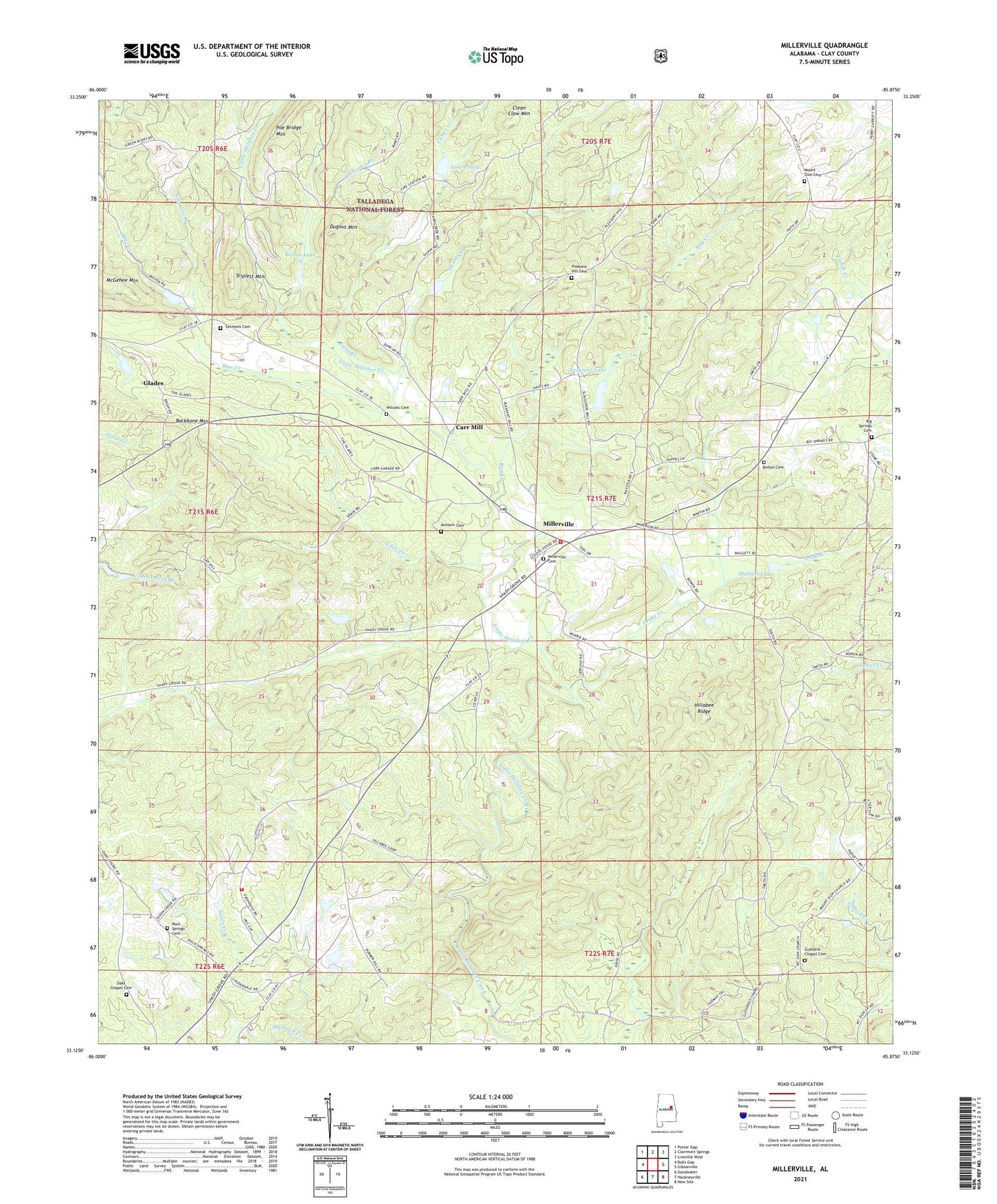
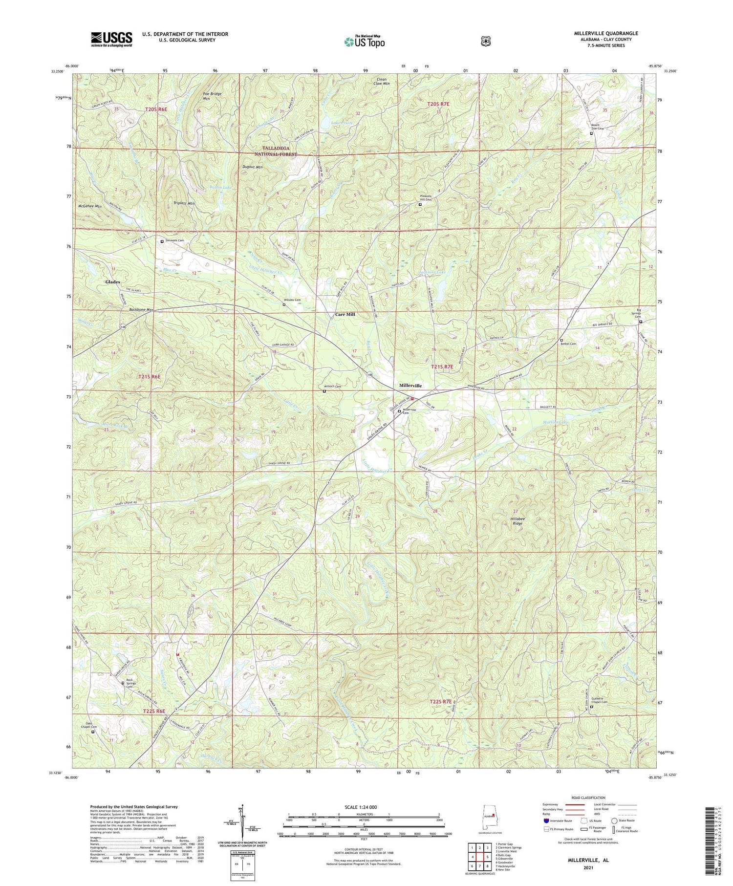
Millerville Alabama US Topo Map
Couldn't load pickup availability
Also explore the Millerville Forest Service Topo of this same quad for updated USFS data
2024 topographic map quadrangle Millerville in the state of Alabama. Scale: 1:24000. Based on the newly updated USGS 7.5' US Topo map series, this map is in the following counties: Clay. The map contains contour data, water features, and other items you are used to seeing on USGS maps, but also has updated roads and other features. This is the next generation of topographic maps. Printed on high-quality waterproof paper with UV fade-resistant inks.
Quads adjacent to this one:
West: Bulls Gap
Northwest: Porter Gap
North: Clairmont Springs
Northeast: Lineville West
East: Gibsonville
Southeast: New Site
South: Hackneyville
Southwest: Goodwater
This map covers the same area as the classic USGS quad with code o33085b8.
Contains the following named places: Antioch Cemetery, Antioch Church, Atlas Mine, Backbone Mountain, Bethel Cemetery, Bethel Church, Big Spring Church, Big Springs Baptist Church Cemetery, Blue Creek, Bolton Lake, Cann Creek, Carr Mill, Center School, Charles Branch, Clean Claw Mountain, Dam Number One, Dam Number Two, Dennis Creek, Drake Creek, Dugout Mountain, Empire Mine, Fairview Church, Gilberts Mill, Gilpins Lake, Glades, Graves High School, Gutherie Chapel Cemetery, Gutheries Chapel, Henderson Prospect, Hillabee Ridge, Hood-Graves Mine, Jacksons Lake, Lake Pruitt, Little Creek, Little Hillabee Watershed Dam Number 3, Little Hillabee Watershed Dam Number 4, Little Hillabee Watershed Dam Number 6, Maranatha Christian Academy, Martins Lake, McGehee Mountain, Millerville, Millerville Cemetery, Millerville Census Designated Place, Millerville Church, Millerville Elementary School, Millerville Volunteer Fire Department, Mount Tabor United Methodist Church, Mount Zion Church, Mount Zion Primitive Baptist Church Cemetery, Munroes Mill, Oak Hill Church, Oak Hill School, Oaks Chapel, Oaks Chapel Cemetery, Old Millerville Church, Pleasant Hill Methodist Church, Pleasant Hill Methodist Protestant Church Cemetery, Pleasant Home Church, Ray Creek, Rock Springs Cemetery, Rock Springs Church, Roseline Church, Salem School, Saxon Creek, Section Eighteen Prospect, Simmons Branch, Simmons Cemetery, Tri - Community Volunteer Fire Department Goodwater Station, Triplett Mountain, Water Mill, Williams Store, Williamsons School, Wilsons Cemetery, ZIP Code: 36267


