MyTopo
Carrville Alabama US Topo Map
Couldn't load pickup availability
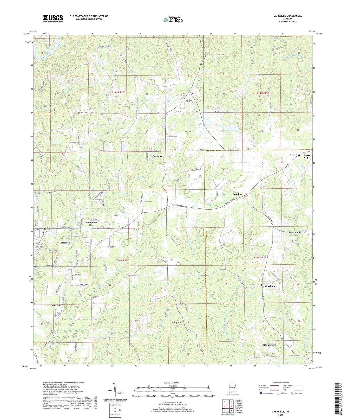
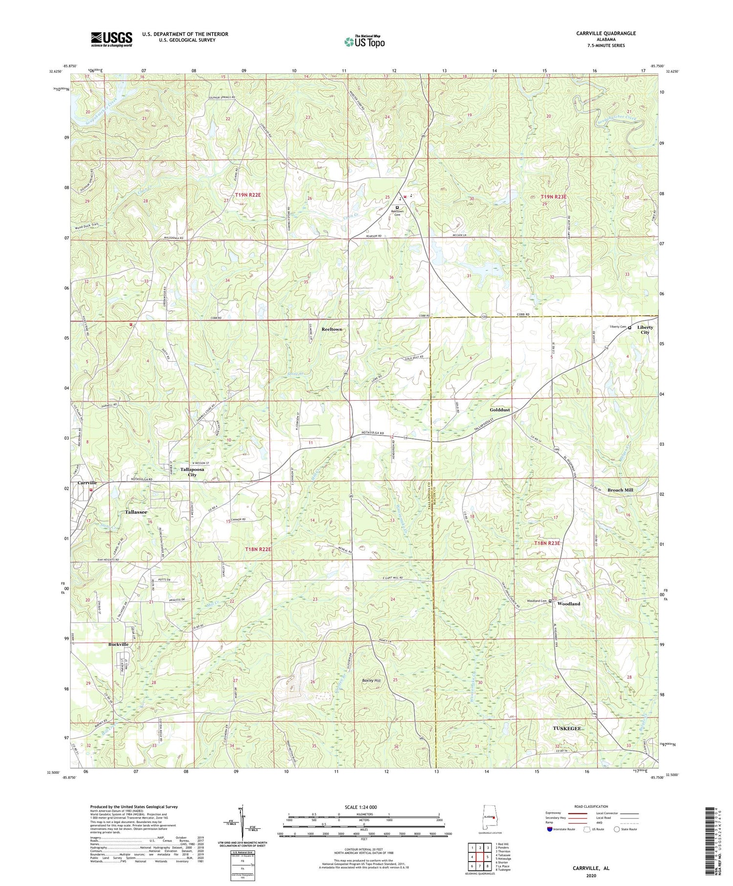
2024 topographic map quadrangle Carrville in the state of Alabama. Scale: 1:24000. Based on the newly updated USGS 7.5' US Topo map series, this map is in the following counties: Tallapoosa, Macon. The map contains contour data, water features, and other items you are used to seeing on USGS maps, but also has updated roads and other features. This is the next generation of topographic maps. Printed on high-quality waterproof paper with UV fade-resistant inks.
Quads adjacent to this one:
West: Tallassee
Northwest: Red Hill
North: Ponders
Northeast: Thornton
East: Notasulga
Southeast: Tuskegee
South: La Place
Southwest: Shorter
This map covers the same area as the classic USGS quad with code o32085e7.
Contains the following named places: Ashurot Mill, Baxley Hill, Broach Mill, Buckville, Calvary Baptist Church, Carrville, Elam Church, Gauntts Mill, Golddust, Golddust School, Hicks Chapel School, Jackson School, Liberty Cemetery, Liberty United Methodist Church, Macedonia Church, Mount Heeren Church, Muck Creek, New Zion Church, Oak Heights Church, Old Hicks Chapel Church, Reeltown, Reeltown - Macedonia Fire Department, Reeltown Cemetery, Reeltown Census Designated Place, Reeltown Church, Reeltown High School, Reeltown Volunteer Fire Department, Sharon Primitive Baptist Church, Simmons School, Smith, Smith Church, Smith School, Sycamore Creek, Tallapoosa City, Tallassee Division, Tallassee Fire Department Station 2, The Barroom, WACQ-AM (Carrville), Woodland, Woodland Cemetery, Woodland Church