
MyTopo
Coffee Springs Alabama US Topo Map
Couldn't load pickup availability
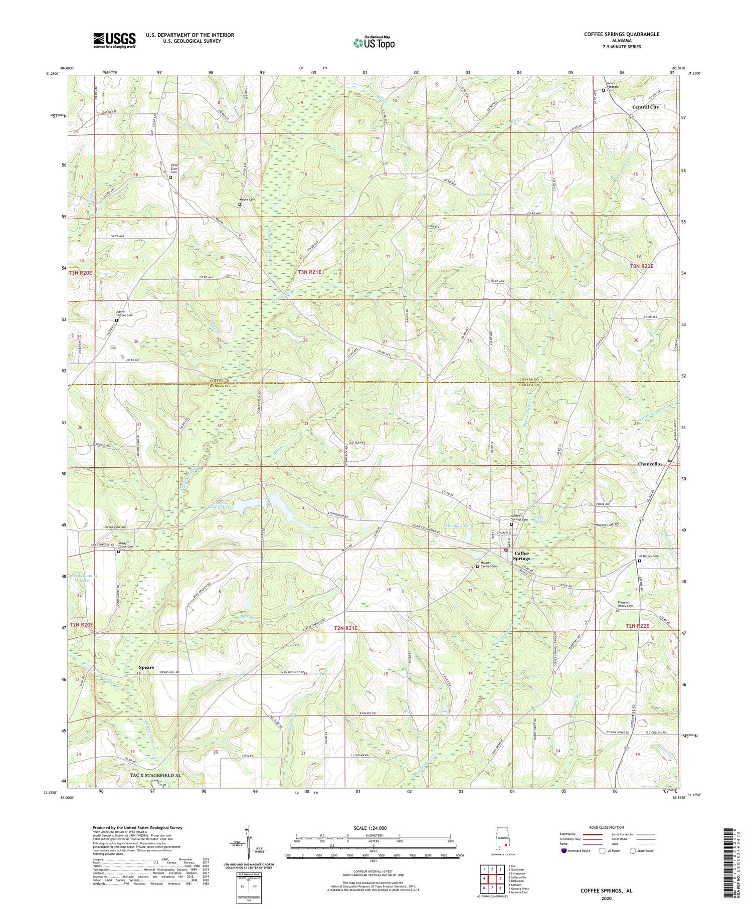
2024 topographic map quadrangle Coffee Springs in the state of Alabama. Scale: 1:24000. Based on the newly updated USGS 7.5' US Topo map series, this map is in the following counties: Geneva, Coffee. The map contains contour data, water features, and other items you are used to seeing on USGS maps, but also has updated roads and other features. This is the next generation of topographic maps. Printed on high-quality waterproof paper with UV fade-resistant inks.
Quads adjacent to this one:
West: Sellersville
Northwest: Ino
North: Goodman
Northeast: Enterprise
East: Bellwood
Southeast: Geneva East
South: Geneva West
Southwest: Samson
This map covers the same area as the classic USGS quad with code o31085b8.
Contains the following named places: Beargrass Creek, Bellwood-Coffee Springs Division, Bull Branch, Castleberry Branch, Cedar Branch, Center Ridge, Center Ridge Methodist Church, Center Ridge School, Center School, Central City, Chancellor, Chancellor Church, Chancellor Post Office, Coffee Springs, Coffee Springs Cemetery, Coffee Springs Church of Christ, Coffee Springs Elementary School, Coffee Springs High School, Coffee Springs Methodist Church, Coffee Springs Post Office, Coffee Springs Volunteer Fire Department, Corinth Church, Dwight Brandon Dam, Dwight Brandon Lake, Ed Averett Pond Dam Number 2, Ed Averett Pond Number 2, Edwin Averett Dam, Edwin Averett Lake, El Bethel Baptist Church, El Bethel Cemetery, Epperson, First Baptist Church of Coffee Springs, Frank Denman Dam, Geneva County Lake, Geneva County Lake Number One Dam, Geneva County Number 2 Dam, Holloway Church, Lake Hulon, Little Beaverdam Creek, Little Elam Baptist Church, Little Elam Cemetery, Marshall Mill, Marvin Chapel Assembly of God Church, Marvin Chapel Cemetery, Mill Creek, Moore Cemetery, Mount Carmel Cemetery, Mount Carmel Primitive Baptist Church, Mount Pleasant Baptist Church, Mount Pleasant Cemetery, Mount Pleasant School, Murdock Pond, Murdock Pond Dam, Nichols School, Oak Grove Church, Pleasant Valley Cemetery, Pleasant Valley Missionary Baptist Church, Renzol Nichols Lake, Renzol Nichols Lake Dam, Shady Grove Cemetery, Shady Grove Church, Spears, Tight Eye Creek, Town of Coffee Springs, Union Grove Baptist Church, ZIP Code: 36318


