MyTopo
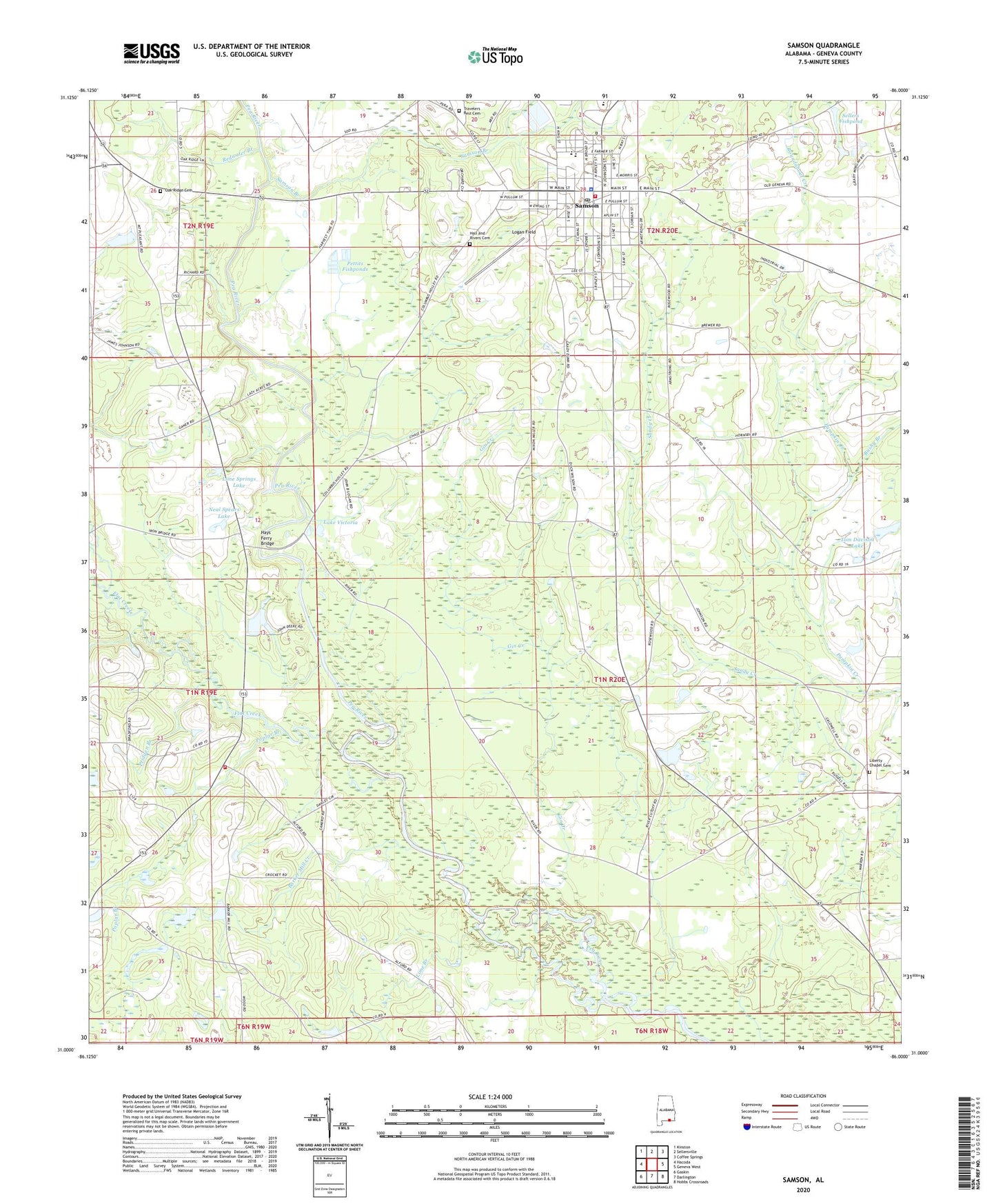
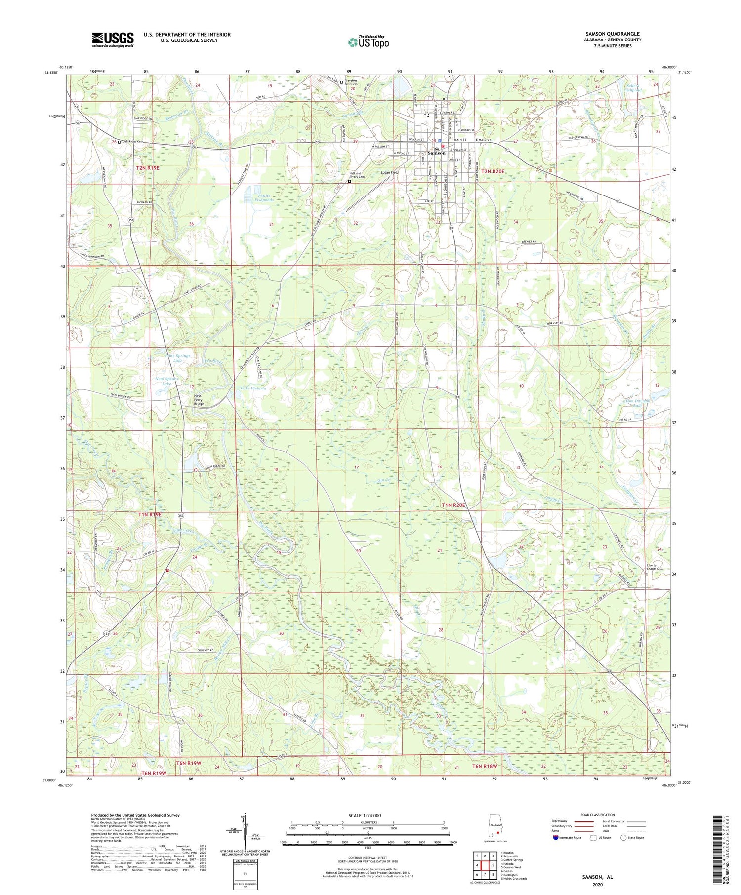
Samson Alabama US Topo Map
Couldn't load pickup availability
2024 topographic map quadrangle Samson in the state of Alabama. Scale: 1:24000. Based on the newly updated USGS 7.5' US Topo map series, this map is in the following counties: Geneva. The map contains contour data, water features, and other items you are used to seeing on USGS maps, but also has updated roads and other features. This is the next generation of topographic maps. Printed on high-quality waterproof paper with UV fade-resistant inks.
Quads adjacent to this one:
West: Hacoda
Northwest: Kinston
North: Sellersville
Northeast: Coffee Springs
East: Geneva West
Southeast: Hobbs Crossroads
South: Darlington
Southwest: Gaskin
This map covers the same area as the classic USGS quad with code o31086a1.
Contains the following named places: Barker Mill Creek, Barkers Ferry, Battle Hill Church, Bushy Branch, City of Samson, City of Samson Sewage Lagoon, Cooks Ferry Bridge, Eightmile Creek, First Assembly of God Church, First Baptist Church, First Christian Church, First Methodist Church, Flat Creek, Flat Creek Church, Flat Creek Gainer Hacoda Geese Communities Volunteer Fire Department, Freewill Church, Ganer, Ganer School, Gilmore School, Gin Creek, Hall and Rivers Cemetery, Harvest Time Church, Hays Ferry Bridge, Lake Victoria, Lewis High School, Liberty Chapel Baptist Church, Liberty Chapel Camp Grounds, Liberty Chapel Cemetery, Liberty Temple, Lime Branch, Lime Springs Church, Lime Springs Lake, Living Water Church, Logan Field, Mount Pleasant Church, Neal Spears Dam, Neal Spears Lake, New Home Church, New Life Worship Center, New Mount Zion Church, Oak Ridge Cemetery, Oak Ridge Church of Christ, Pettits Fishponds, Pleasant Home School, Poplar Branch, Pridgen Branch, Pumpkin Creek, Redwater Branch, Reese Church, Reese School, Samson, Samson Branch, Samson Division, Samson High School, Samson Methodist Church, Samson Police Department, Samson Post Office, Samson Public Library, Samson Volunteer Fire Department, Sellers Fishpond, Tom Davison Dam, Tom Davison Lake, Travelers Rest Cemetery, Travelers Rest Church, WRDJ-AM (Samson), ZIP Code: 36477


