MyTopo
Enterprise NE Alabama US Topo Map
Couldn't load pickup availability
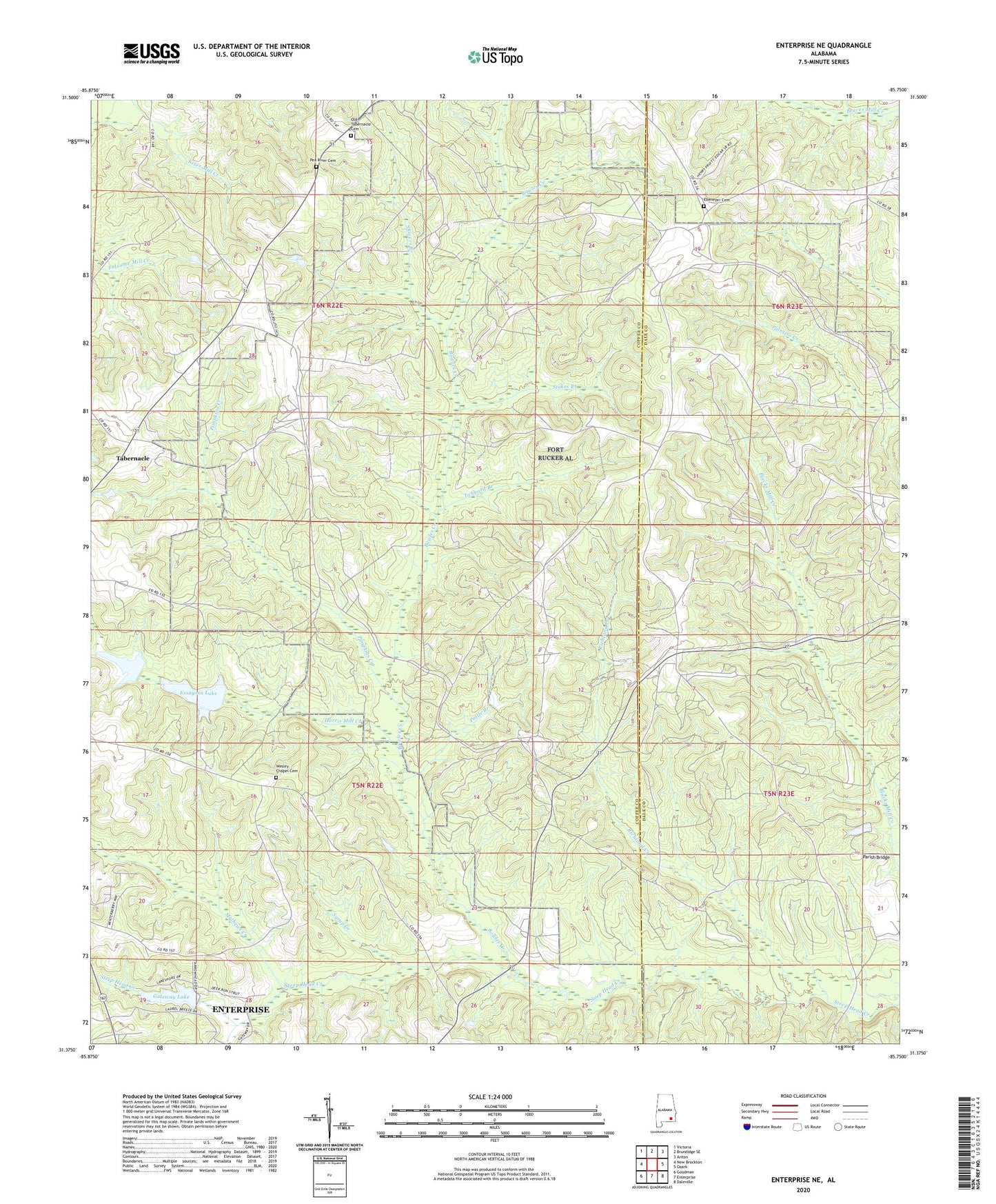
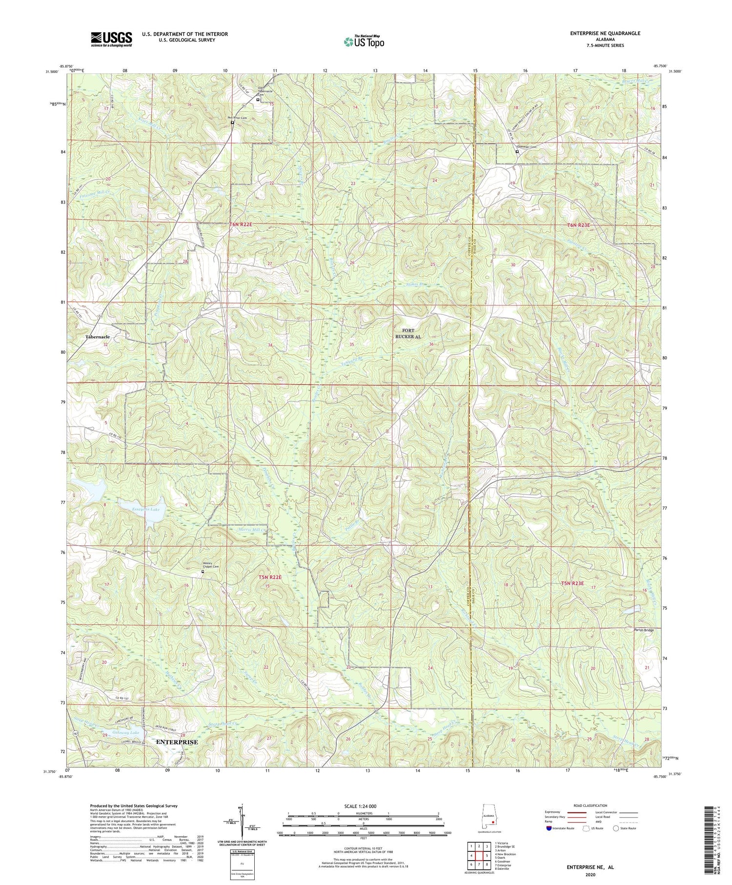
2024 topographic map quadrangle Enterprise NE in the state of Alabama. Scale: 1:24000. Based on the newly updated USGS 7.5' US Topo map series, this map is in the following counties: Coffee, Dale. The map contains contour data, water features, and other items you are used to seeing on USGS maps, but also has updated roads and other features. This is the next generation of topographic maps. Printed on high-quality waterproof paper with UV fade-resistant inks.
Quads adjacent to this one:
West: New Brockton
Northwest: Victoria
North: Brundidge SE
Northeast: Ariton
East: Ozark
Southeast: Daleville
South: Enterprise
Southwest: Goodman
This map covers the same area as the classic USGS quad with code o31085d7.
Contains the following named places: Baggett Mill Creek, Bowles Creek, Boy Scout Lake Dam, Camp Alaflo, Crumper School, Daniels Mill, Dickers Mill, Ebenezer Cemetery, Ebenezer Church, El Bethel Church, Essayons Lake, Farmers Academy, Gateway Estates, Gateway Lake, Gateway Lake Dam, Harpers Mill, Harris Mill Creek, Hayes Store, Jones Store, Longstreet School, Mathews Creek, Mount Liberty Church, Nesterville, Old Tabernacle Cemetery, Old Tabernacle Methodist Church, Parish Bridge, Pattle Branch, Pea River Baptist Church, Pea River Cemetery, Pimpkins Creek, Pittman Brothers Lake, Pittman Brothers Lake Dam, Rex Post Office, Richland Creek, Rocky Head School, Shivers Branch, Shivers Mill, Stokes Branch, Syrup Creek, Tabernacle, Tanyard Branch, Wesley Chapel Cemetery, Wesley Chapel Methodist Church