MyTopo
Ozark Alabama US Topo Map
Couldn't load pickup availability
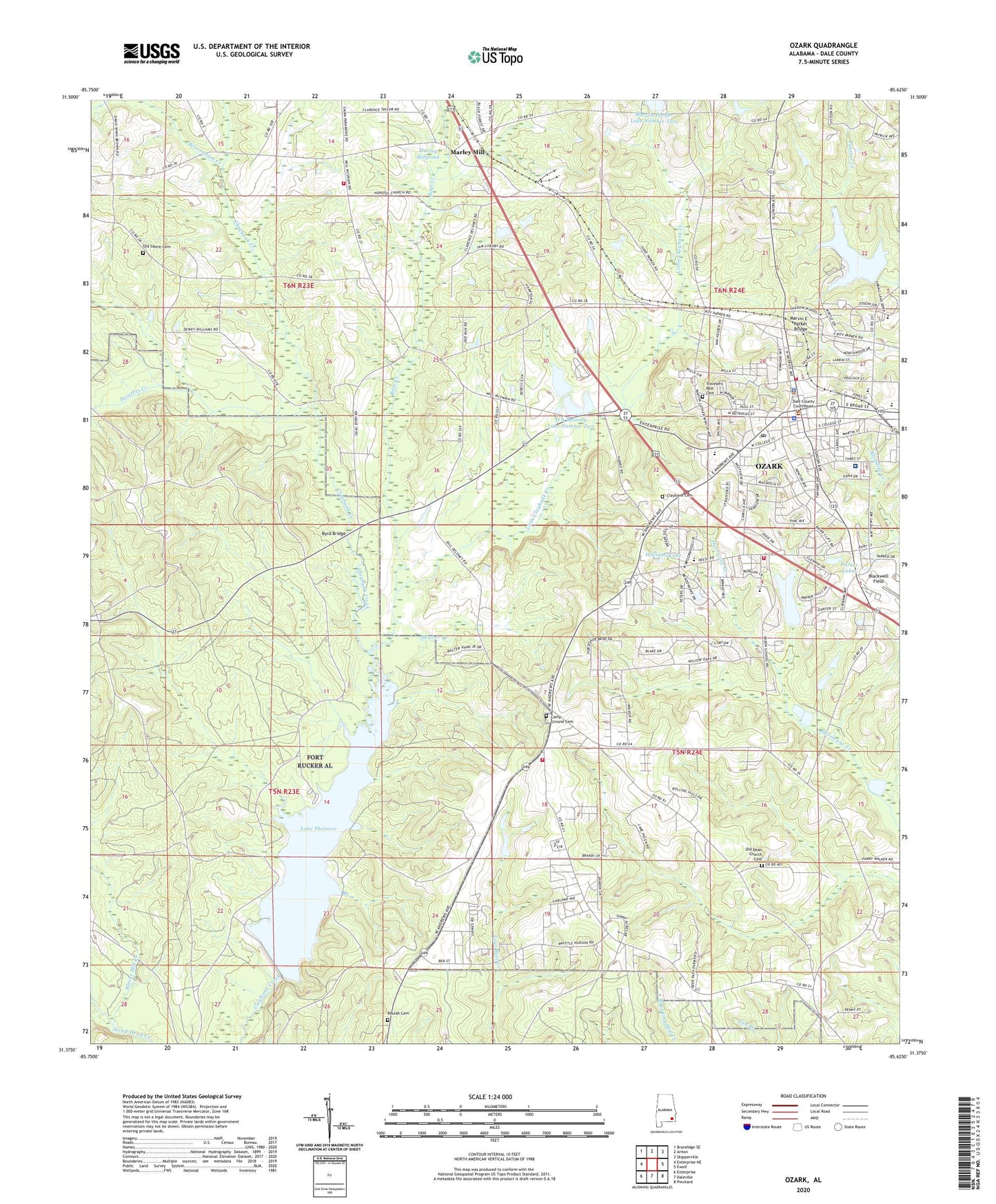
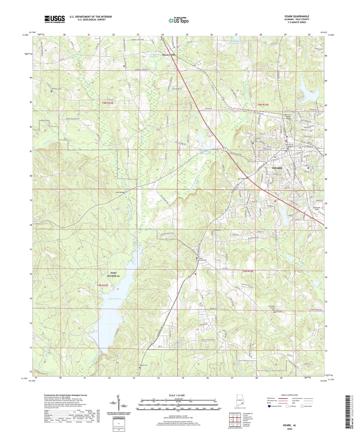
2024 topographic map quadrangle Ozark in the state of Alabama. Scale: 1:24000. Based on the newly updated USGS 7.5' US Topo map series, this map is in the following counties: Dale. The map contains contour data, water features, and other items you are used to seeing on USGS maps, but also has updated roads and other features. This is the next generation of topographic maps. Printed on high-quality waterproof paper with UV fade-resistant inks.
Quads adjacent to this one:
West: Enterprise NE
Northwest: Brundidge SE
North: Ariton
Northeast: Skipperville
East: Ewell
Southeast: Pinckard
South: Daleville
Southwest: Enterprise
This map covers the same area as the classic USGS quad with code o31085d6.
Contains the following named places: Alabama Aviation and Technical College, Bear Creek, Beaver Branch, Beaverdam Creek, Beulah Cemetery, Beulah School, Blackman School, Blacks Mill Creek, Byrd Bridge, C A Jernigan Lake Dam, Calvary Church, Camp Ground Cemetery, Campground Baptist Church, Carroll High School, Chancey Fire Station, City of Ozark, Claybank Cemetery, Claybank Church, Comer Field, D A Deloney Lake Dam Number 2, D A Deloney Lake Number One, D A Deloney Lake Number Two, D A Delony Dam, Dale County Courthouse, Dale County Public Lake, Dale County Public Lake Dam, Dale County Sheriff's Office, Dale Medical Center, Dean Church, Dowling Fire Station, East Gate Middle School, Faith Church, Faulks Mill, First Baptist Church, First Presbyterian Church, First United Methodist Church of Ozark, Flowers School, Fort Rucker, Fort Rucker Division, Friendship Chapel, Harry N Mixon Elementary School, Hillcrest Baptist Church, Hillcrest Church, Hooper Field, Hopeful Primitive Baptist Church, Jernegans Pond, Joseph W Lisenby Elementary School, Kingdom Hall of Jehovah Witnesses Church, Lake Tholloco Dam, Lake Tholocco, Lighthouse Church, Little Claybank Creek, Logan Road Church, M Thompkins Early Childhood Center, Marley Mill, Marley Mill Fire Department, Marley Millpond, Martin Bridge, Martindale Plaza Shopping Center, Marvin E Parker Bridge, Marvin Parker Lake Dam Number 1, Marvin Parker Lake Number One, Miron School, Mixon Lake, Old Dean Church Cemetery, Old Salem Cemetery, Old Salem Church, Ozark, Ozark Fire Department Station 3, Ozark Police Department, Ozark Post Office, Painters Creek, Parker Lakes, Pleasant Hill, Pleasant Hill Church, Pleasant Hill School, Pleasant Hill United Methodist Church, Prince of Peace Lutheran Church, Roy Parker Lake, Roy Parker Lake Dam, Saint Johns Church, Saint Paul African Methodist Episcopal Church, Salem Church, Sam Dale Park, Smith High School, SpectraCare Health Systems Dale County Clinic, Travelers Rest Cemetery, Victory Tabernacle Church, WAYD-AM (Ozark), West View Heights United Methodist Church, Williams Lake, WOAB-FM (Ozark), WORJ-FM (Ozark), WOZK-AM (Ozark)


