MyTopo
Pruitton Alabama US Topo Map
Couldn't load pickup availability
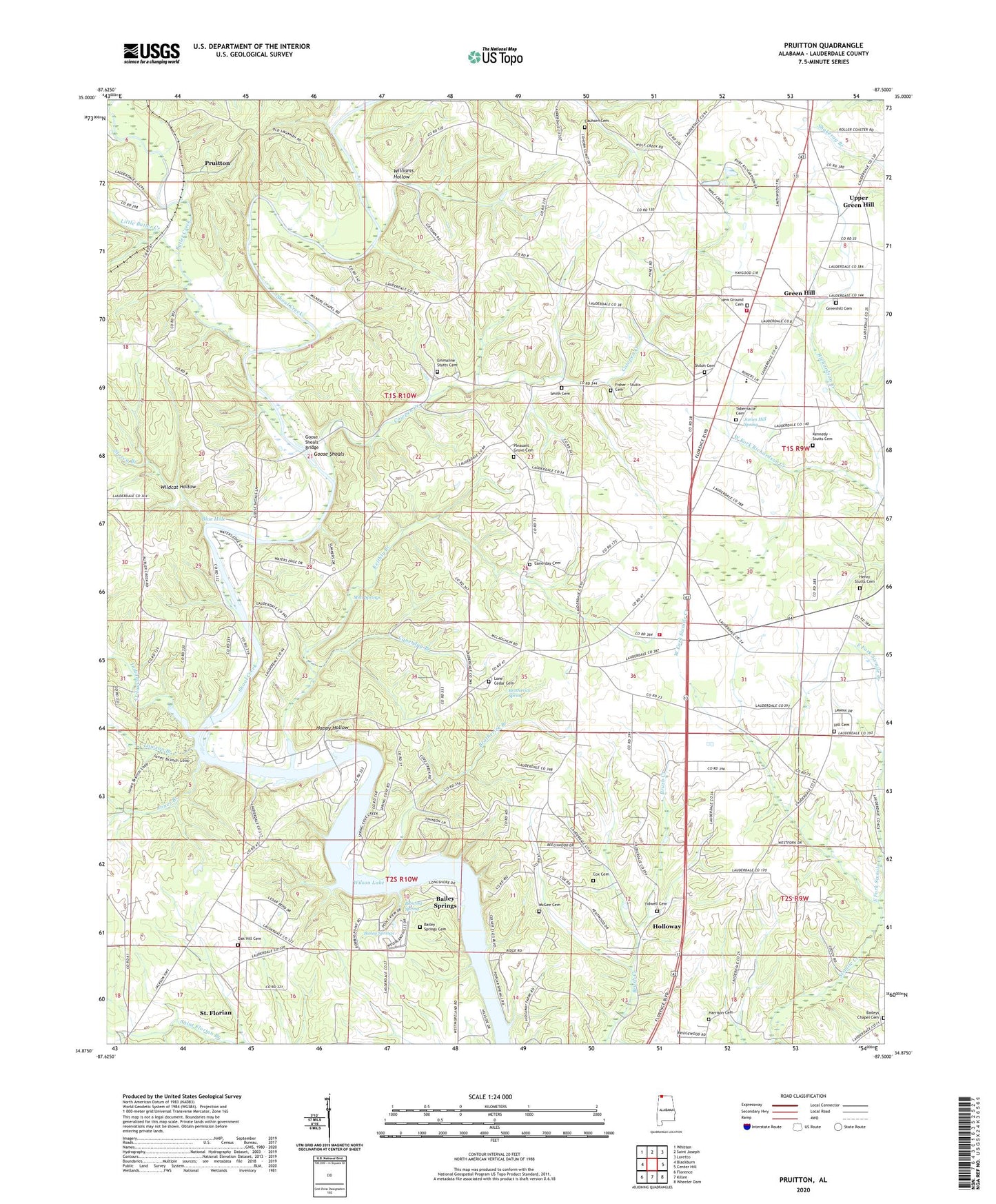
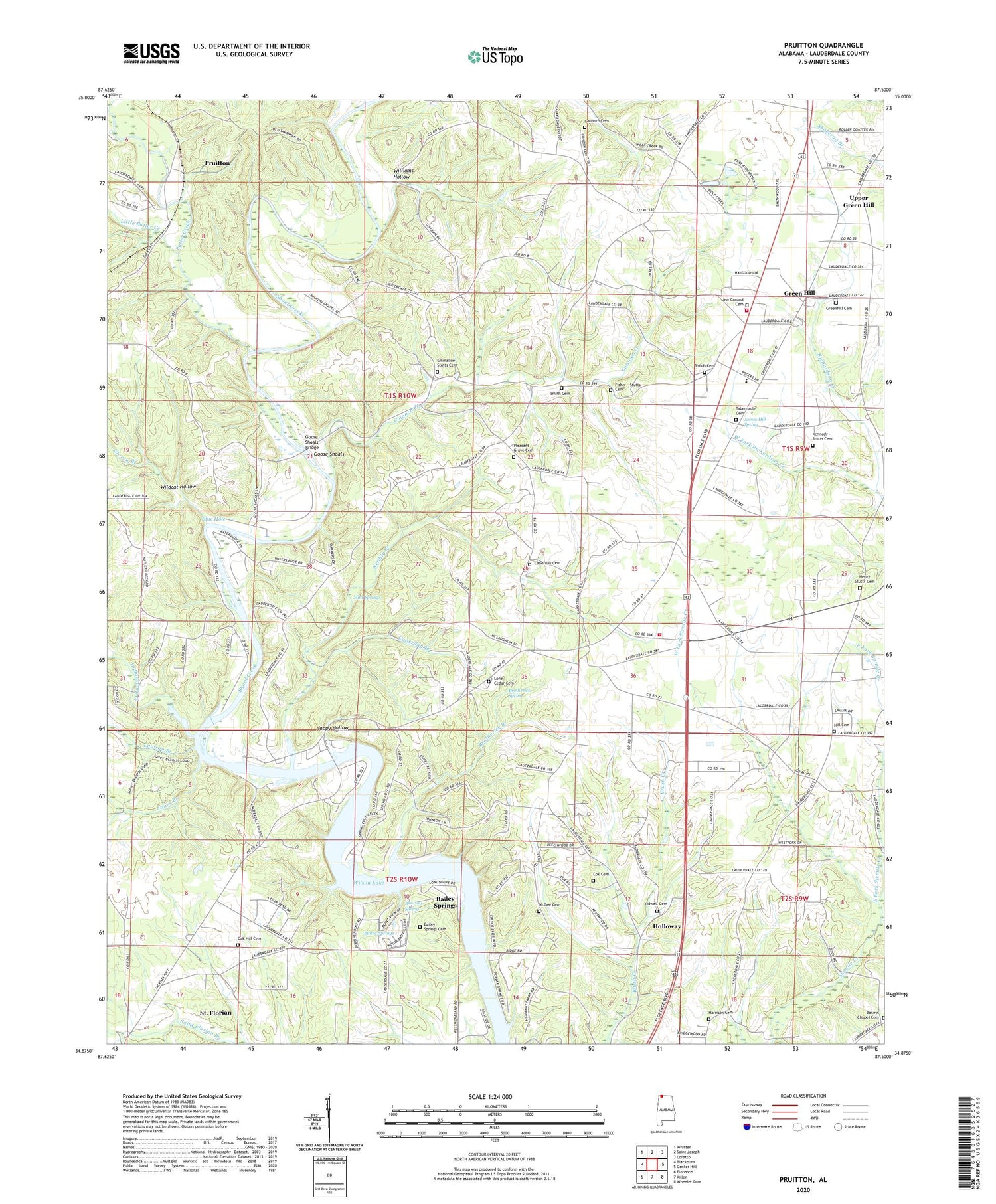
2024 topographic map quadrangle Pruitton in the state of Alabama. Scale: 1:24000. Based on the newly updated USGS 7.5' US Topo map series, this map is in the following counties: Lauderdale. The map contains contour data, water features, and other items you are used to seeing on USGS maps, but also has updated roads and other features. This is the next generation of topographic maps. Printed on high-quality waterproof paper with UV fade-resistant inks.
Quads adjacent to this one:
West: Blackburn
Northwest: Whitten
North: Saint Joseph
Northeast: Loretto
East: Center Hill
Southeast: Wheeler Dam
South: Killen
Southwest: Florence
This map covers the same area as the classic USGS quad with code o34087h5.
Contains the following named places: Alabama School, Arnot, Arnot Post Office, Atlas, Atlas Church, Atlas Post Office, Bailey Springs, Bailey Springs Church, Baileys Chapel Cemetery, Baileys School, Blowing Spring, Blue Hole, Brotherick Branch, Brotherick School, Brotherick Spring, Brush Arbor School, Brush Creek School, Butler Creek, Camp Westmoreland, Canerday Branch, Canerday Cemetery, Cauhorn Cemetery, Comas School, Cowpen Creek, Cox Cemetery, Crystal Springs Plantation, East Fork Sixmile Creek, El Reposo Sanatorium, Emmaline Stutts Cemetery, Falconhead, First United Pentecostal Church, Franklin Post Office, Goose Shoals, Goose Shoals Bridge, Goose Shoals Ford, Grays Chapel Freewill Baptist Church, Green Hill, Green Hill Church, Green Hill Post Office, Greenhill Volunteer Fire Department Station 1, Greenhill Volunteer Fire Department Station 2, Happy Hollow, Harrison Cemetery, Harrison Chapel United Methodist Church, Henry Stutts Cemetery, Hewitt School, Hill Cemetery, Holloway, Indiancamp Creek, James Hill Spring, Jones Branch, Keithly Branch, Kennedy - Stutts Cemetery, Kilburn, Kilburn Church of Christ, Kilburn School, Killen Division, Lawson Branch, Little Butler Creek, Lone Cedar Church of Christ, Lone Cedar School, McGee, McGee Cemetery, McGee School, Mecca, Midway Church, Milners Chapel, Mint Springs, North Alabama Childrens Home, Oak Hill Cemetery, Oak Hill Church of Christ, Parkertown, Pleasant Grove Baptist Church, Pleasant Grove Cemetery, Pruitton, Pruitton School, Savannah Ford, Section Ford, Shiloh Church of Christ, Storey Branch, Stutts, Stutts School, T M Rogers High School, Tabernacle Methodist Church, Upper Green Hill, Watkins Water Mill, West Fork Richardson Creek, West Fork Sixmile Creek, Wildcat Hollow, Williams Hollow, ZIP Codes: 35634, 35645


