MyTopo
Haleburg Alabama US Topo Map
Couldn't load pickup availability
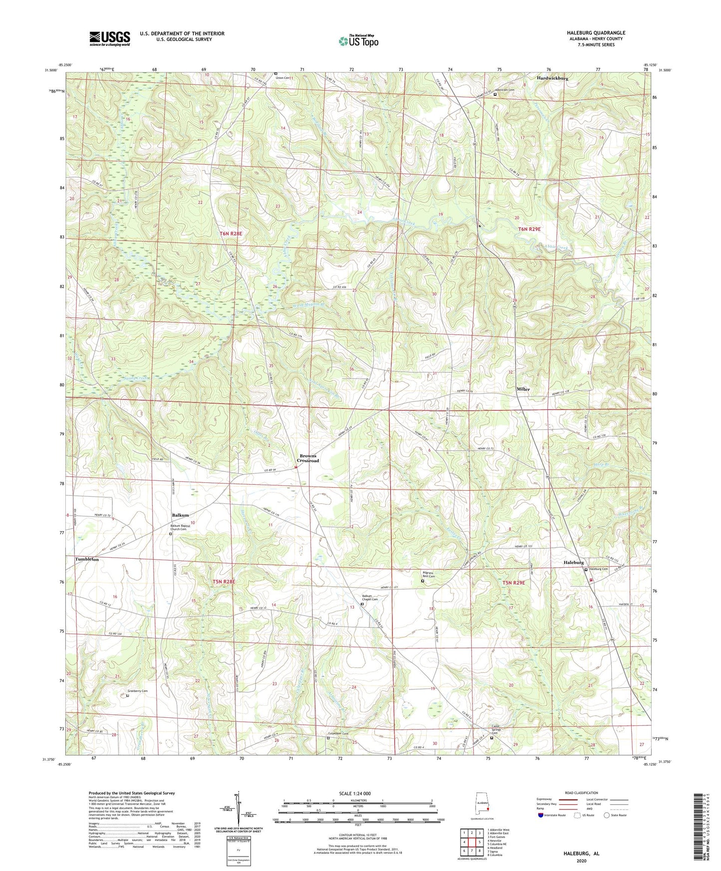
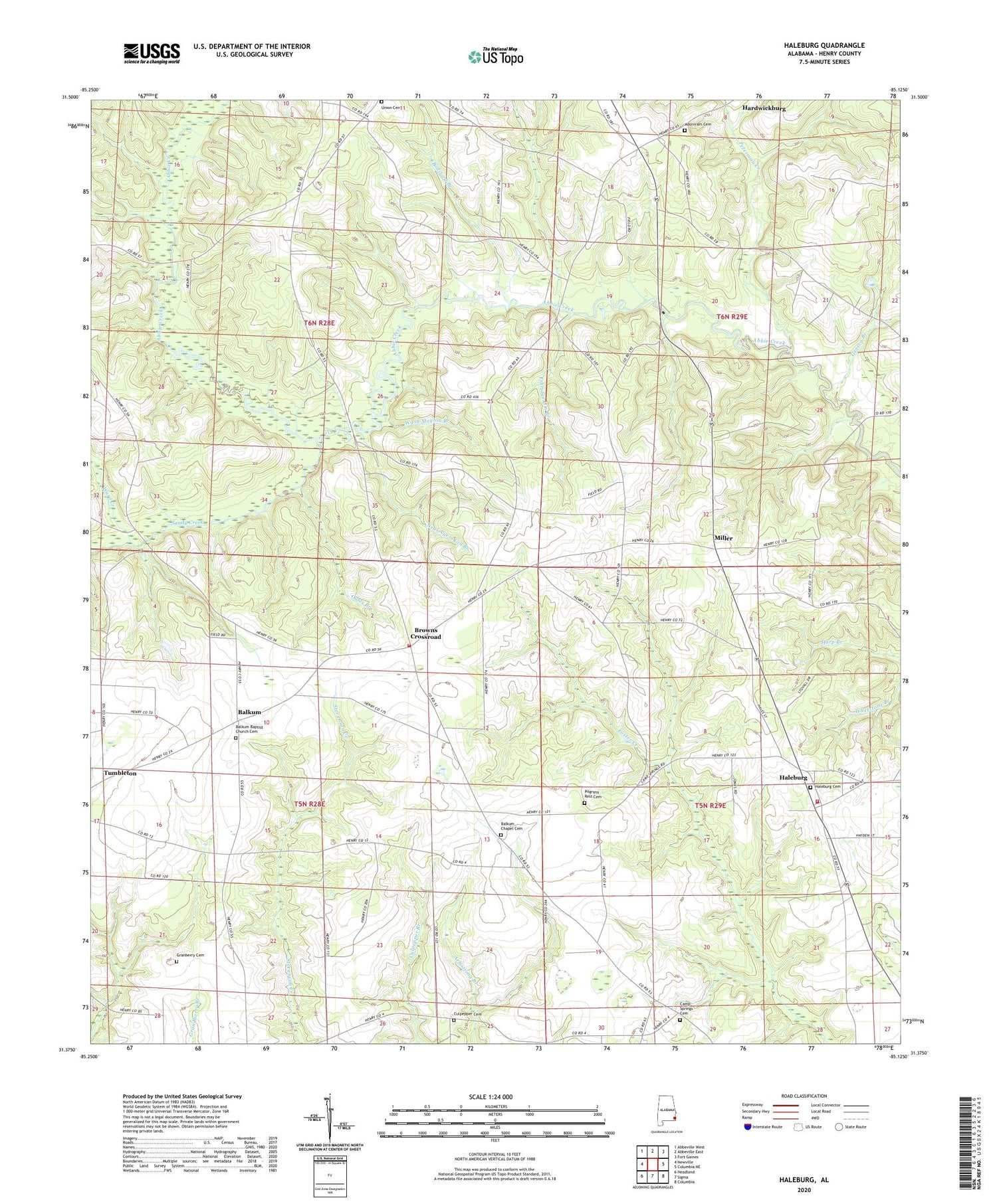
2024 topographic map quadrangle Haleburg in the state of Alabama. Scale: 1:24000. Based on the newly updated USGS 7.5' US Topo map series, this map is in the following counties: Henry. The map contains contour data, water features, and other items you are used to seeing on USGS maps, but also has updated roads and other features. This is the next generation of topographic maps. Printed on high-quality waterproof paper with UV fade-resistant inks.
Quads adjacent to this one:
West: Newville
Northwest: Abbeville West
North: Abbeville East
Northeast: Fort Gaines
East: Columbia NE
Southeast: Columbia
South: Sigma
Southwest: Headland
This map covers the same area as the classic USGS quad with code o31085d2.
Contains the following named places: Adoniram Baptist Church, Adoniram Cemetery, Balkum, Balkum Baptist Church, Balkum Chapel, Balkum Chapel Cemetery, Bodiford Branch, Browns Crossroad, Camp Springs Baptist Church, Camp Springs Cemetery, Culpepper Cemetery, Ethridge Gin Branch, Geneva Branch, Granberry Cemetery, Haleburg, Haleburg Baptist Church, Haleburg Cemetery, Haleburg Division, Haleburg Fire Rescue Department Station 1, Haleburg Fire Rescue Department Station 2, Hardwickburg, Miller, Mount Pleasant Church, Neal Ayers Gin Branch, New Prospect Church, New Testament Deliverance Tabernacle, Oates Branch, Pentecostal Holiness Church, Peterman Creek, Pilgrims Rest Cemetery, Piney Grove Church, Sandy Creek, Town of Haleburg, Union Cemetery, Union Church, Ward Creek, Wash Maybin Branch