
MyTopo
Newville Alabama US Topo Map
Couldn't load pickup availability
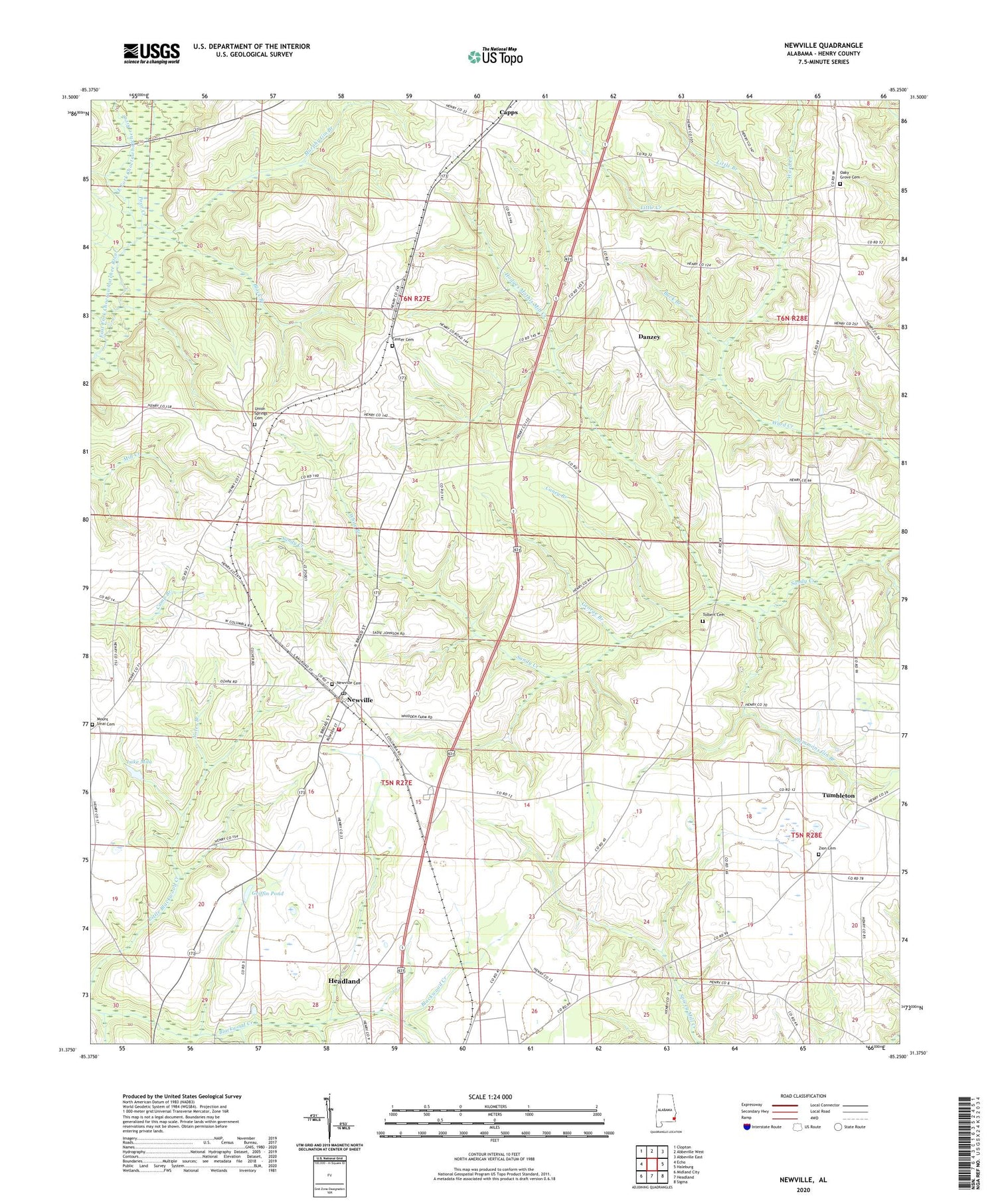
2024 topographic map quadrangle Newville in the state of Alabama. Scale: 1:24000. Based on the newly updated USGS 7.5' US Topo map series, this map is in the following counties: Henry. The map contains contour data, water features, and other items you are used to seeing on USGS maps, but also has updated roads and other features. This is the next generation of topographic maps. Printed on high-quality waterproof paper with UV fade-resistant inks.
Quads adjacent to this one:
West: Echo
Northwest: Clopton
North: Abbeville West
Northeast: Abbeville East
East: Haleburg
Southeast: Sigma
South: Headland
Southwest: Midland City
This map covers the same area as the classic USGS quad with code o31085d3.
Contains the following named places: Abbeville Missionary Holiness, Black Branch, Buck Branch, Caney Branch, Capps, Center Cemetery, Center United Methodist Church, Clemmons Gin Branch, Danzey, Favorite Creek, George Branch, Griffin Pond, Headland-Newville Division, Herrings Airfield, Hodges Mathis Mill Creek, Lake Mila, Little Branch, Little Creek, Mill Grove, Mount Sinai Cemetery, Murphy Gin Branch, New Zion Freewill Baptist Church, Newville, Newville Baptist Church, Newville Cemetery, Newville High School, Newville Post Office, Newville Volunteer Fire Department, Noles Branch, Oakey Grove, Oakey Grove Baptist Church, Oaky Grove Cemetery, Philadelphia Church, Poor Creek, Rocky Mountain Church, Rosenwall School, Tolbert Baptist Church, Tolbert Cemetery, Town of Newville, Tumbleton, Tumbleton Church, Union Springs Cemetery, Union Springs Missionary Baptist Church, Welcome Church, Wesley Hill Church, White Branch, Zion Cemetery, ZIP Code: 36353


