MyTopo
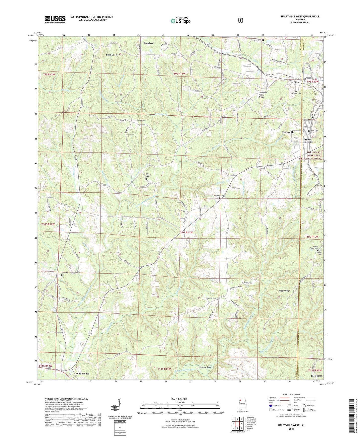
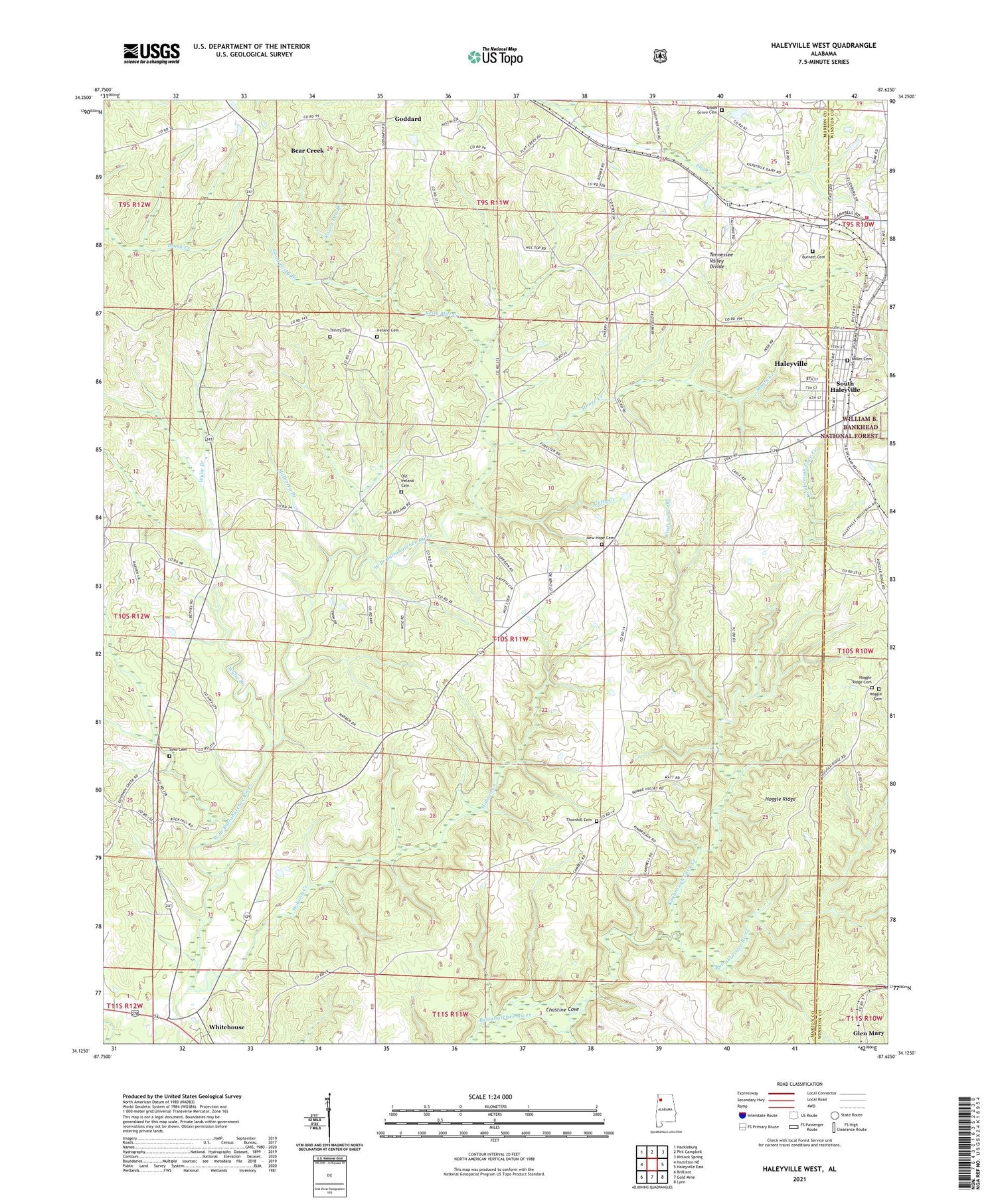
Haleyville West Alabama US Topo Map
Couldn't load pickup availability
Also explore the Haleyville West Forest Service Topo of this same quad for updated USFS data
2024 topographic map quadrangle Haleyville West in the state of Alabama. Scale: 1:24000. Based on the newly updated USGS 7.5' US Topo map series, this map is in the following counties: Marion, Winston. The map contains contour data, water features, and other items you are used to seeing on USGS maps, but also has updated roads and other features. This is the next generation of topographic maps. Printed on high-quality waterproof paper with UV fade-resistant inks.
Quads adjacent to this one:
West: Hamilton NE
Northwest: Hackleburg
North: Phil Campbell
Northeast: Kinlock Spring
East: Haleyville East
Southeast: Lynn
South: Gold Mine
Southwest: Brilliant
This map covers the same area as the classic USGS quad with code o34087b6.
Contains the following named places: Agape Church, Bear Creek Division, Burnett Cemetery, Chastine Cove, Cherry Hill Church, Clifty Creek, Community Church, Cooks School, Craft Pour-Off, Craft School, Donaldson Branch, Faith Church, Fellow Flat School, Goddard, Good Forty Branch, Grace Church, Haleyville Colored School, Haleyville Volunteer Fire Department Station 1, Hobson Creek, Hoggle Cemetery, Hoggle Church, Hoggle Ridge, Hoggle Ridge Cemetery, Ireland Cemetery, Ireland Methodist Memorial Church, Kelly Mill Creek, Kilpactrick Dairy Dam, Kilpactrick Dairy Lake, Kimbrough Cove Creek, McCollough School, Miller Cemetery, Moore Creek, Mulberry Branch, New Hope Baptist Church, New Hope Cemetery, Northside Church, Old Ireland Cemetery, Pebble Post Office, Pleasant Ridge Church, Raven Den Branch, Sabbath Day Church, Sims Cemetery, South Haleyville, South Haleyville Baptist Church, South Haleyville Church of Christ, South Haleyville Grammar School, Thornhill, Thornhill Cemetery, Thornhill Church of Christ, Trinity Cemetery, Trinity Missionary Baptist Church, Union Grove Cemetery, Union Grove Church, Whitehouse Church of Christ, Winston Post Office, WJBB-AM (Haleyville), WJBB-FM (Haleyville), Wylie Branch


