MyTopo
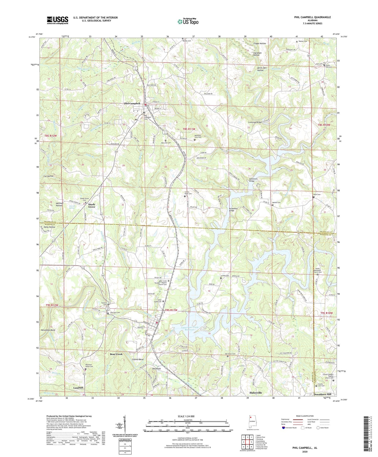
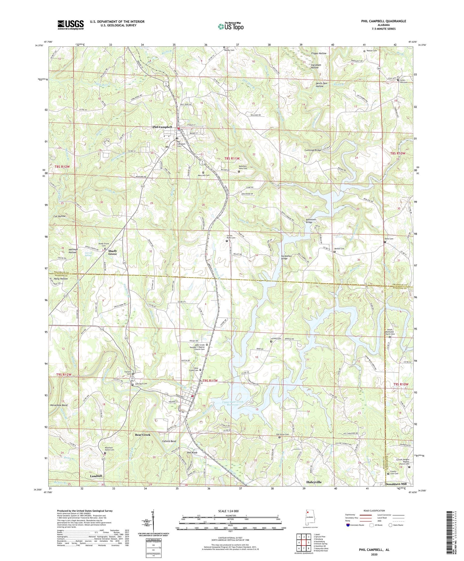
Phil Campbell Alabama US Topo Map
Couldn't load pickup availability
2024 topographic map quadrangle Phil Campbell in the state of Alabama. Scale: 1:24000. Based on the newly updated USGS 7.5' US Topo map series, this map is in the following counties: Franklin, Marion, Winston. The map contains contour data, water features, and other items you are used to seeing on USGS maps, but also has updated roads and other features. This is the next generation of topographic maps. Printed on high-quality waterproof paper with UV fade-resistant inks.
Quads adjacent to this one:
West: Hackleburg
Northwest: Isbell
North: Spruce Pine
Northeast: Newburg
East: Kinlock Spring
Southeast: Haleyville East
South: Haleyville West
Southwest: Hamilton NE
This map covers the same area as the classic USGS quad with code o34087c6.
Contains the following named places: Allens Factory, Arnold Cemetery, Arnold School, Austin Branch, Batestown Bridge, Bear Creek, Bear Creek Cemetery, Bear Creek Church of Christ, Bear Creek Number 1 Baptist Church Cemetery, Bear Creek Number One Baptist Church, Bear Creek Police Department, Bear Creek Post Office, Bear Creek United Methodist Church, Bear Creek Volunteer Fire Department, Bene Field Mines, Bethel Branch, Bethel Cemetery, Bethel Church, Bridge Branch, Burdeshaw Bridge, Cagle Branch, Cagle Mine, Cagle Wash Hole, Campbell School, Caney Branch, Carroll Spring, Cat Hollow, Center Point Cemetery, Center Point School, Cofield Bend, Corinth Church, Corinth Heights Baptist Church Cemetery, County Line Cemetery, County Line Church, Cummings Bridge, Davis Mill Dam, Devils Den Hollow, Dime, Dime Cemetery, Dime Methodist Church, Dime School, Dime Spring Branch, Donaldson Mill, Dykes Branch, Factory Cemetery, Falls Creek, Faulkner Branch, First Baptist Church, Flat Creek, Flippo Hollow, G R Cummings Mine, Gas Branch, Hager Mine, Hallman School, Hines Memorial Baptist Church, Horseshoe Bend, Ikes Knob, Ingraham Hollow, James E Glass Stadium, John Bull Cemetery, Lehman Dam, Lehman Lake, Liberty Church, Little Bear Creek, Lizzard Lope Church, Lower Factory, Lowler Mines, Lumbull, Mars Hill Cemetery, Mars Hill Church, Mars Hill School, Melton Branch, Mill Creek, Mount Joy Church, Mountain Home Cemetery, Mountain Home Church, Mountain Home Church of Christ, Mountain View Cemetery, Mountain View Church, Mullins Branch, Neeley Branch, New Harmony Church, Northern Methodist Church, Northernmost Mines, Northwest Alabama State Junior College, Old Union Baptist Church, Old Union Cemetery, Old Union School, Old Zion Church, Peters Branch, Phil Campbell, Phil Campbell Cemetery, Phil Campbell Church, Phil Campbell Church of Christ, Phil Campbell Church of God, Phil Campbell Church of God - Seventh Day, Phil Campbell Church of God of Prophecy, Phil Campbell Division, Phil Campbell Elementary School, Phil Campbell Fire Department, Phil Campbell High School, Phil Campbell Medical Clinic, Phil Campbell Police Department, Phil Campbell Post Office, Phil Campbell Rescue Squad, Phil Campbell United Methodist Church, Phillips High School, Pretty Branch, Reedy Branch, Resolute School, Rhinehart Branch, Rinehart Wash Hole, Rocky Branch, Sandpit Branch, Shady Grove, Shady Grove Cemetery, Shady Grove Church, Shady Grove School, Shiloh Church, Shiloh Methodist Church Cemetery, Shirley Branch, Smith, Smith Lake, State Branch, Temple Baptist Church, Timmons Branch, Tom Man Branch, Town of Bear Creek, Town of Phil Campbell, Trace Branch, Turkey Creek, Union Hill Cemetery, Union Hill Church, Upper Bear Creek Dam, Watson Cemetery, Wilson Mine, ZIP Code: 35581


