MyTopo
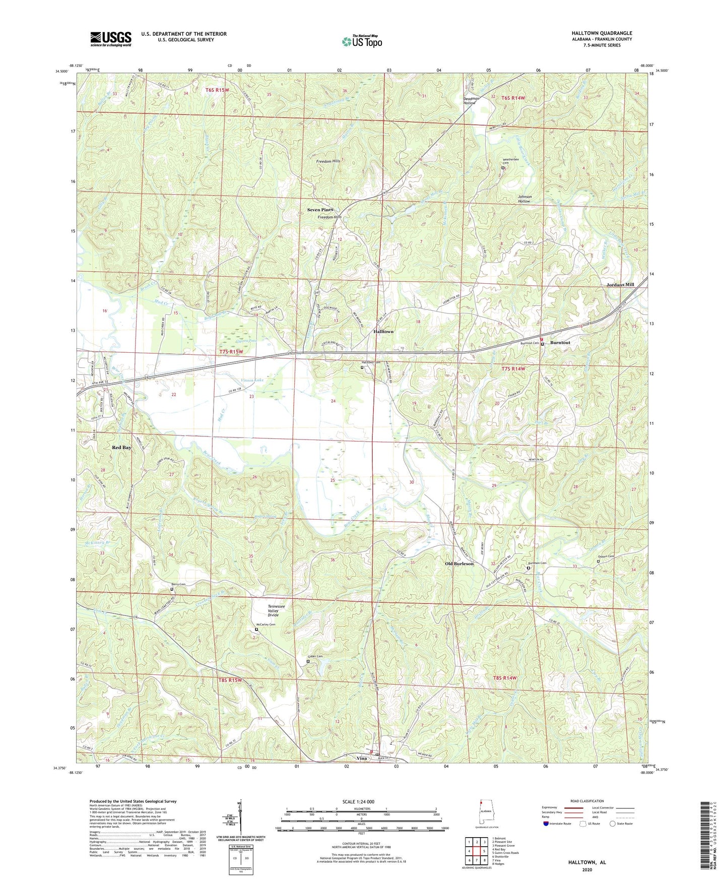
Halltown Alabama US Topo Map
Couldn't load pickup availability
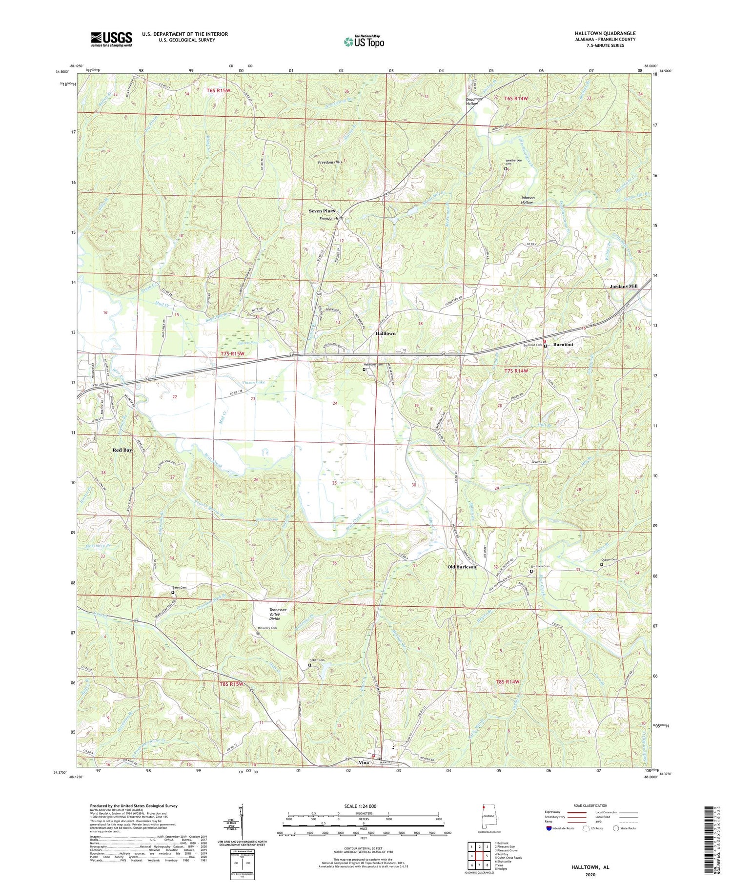
2024 topographic map quadrangle Halltown in the state of Alabama. Scale: 1:24000. Based on the newly updated USGS 7.5' US Topo map series, this map is in the following counties: Franklin. The map contains contour data, water features, and other items you are used to seeing on USGS maps, but also has updated roads and other features. This is the next generation of topographic maps. Printed on high-quality waterproof paper with UV fade-resistant inks.
Quads adjacent to this one:
West: Red Bay
Northwest: Belmont
North: Pleasant Site
Northeast: Pleasant Grove
East: Guinn Cross Roads
Southeast: Hodges
South: Vina
Southwest: Shottsville
This map covers the same area as the classic USGS quad with code o34088d1.
Contains the following named places: Anderson Branch, Armstrong Branch, Berry Cemetery, Blue Creek, Bolding Branch, Boyd Mill Branch, Brush Creek, Burleson Church, Burnout Cemetery, Burntout, Burntout - Halltown Volunteer Fire Department, Burntout Church, Burntout Community Center, Church of Christ, Clay Branch, Coker Church, Coker Spur, Community Center Church, Crooked Neck Branch, Cypress Pond, Deadman Hollow, Dentons Camp Branch, Dry Branch, Dry Prong, First United Church, Fuller Branch, Gilly Branch, Gober Cemetery, Hall Branch, Halltown, Halltown Cemetery, Hester Branch, Hurricane Creek, Ivey Branch, Jennie Branch, Johnson Branch, Johnson Hollow, Jordans Mill, Liberty Hill Church, Lutts Mill Branch, Mailrider Branch, Mason Branch, McCarley Cemetery, McClain Branch, McKinney Branch, McMurray Camp, McMurray Dam, McMurray Lake, Mud Creek, New Union Church, Norman Branch, Old Burleson, Old Burleson Cemetery, Osborn Branch, Osborn Cemetery, Pleasant Ridge Church Number One, Red Bay Division, Rogers Spring, Rogers Spring Branch, Sartin Mill Branch, Seven Pines, Shiloh Branch, Shiloh Church, Shoat Mill Branch, Taylor Creek, Town of Vina, Vina, Vina Fire Department, Vina First Baptist Church, Vina High School, Vina Lookout Tower, Vina Post Office, Vina United Methodist Church, Vinson Branch, Vinson Lake, Walker Branch, Weatherbee Cemetery, ZIP Code: 35582


