MyTopo
Lim Rock Alabama US Topo Map
Couldn't load pickup availability
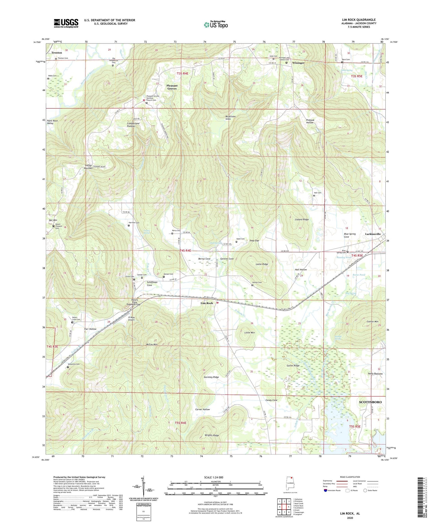
2024 topographic map quadrangle Lim Rock in the state of Alabama. Scale: 1:24000. Based on the newly updated USGS 7.5' US Topo map series, this map is in the following counties: Jackson. The map contains contour data, water features, and other items you are used to seeing on USGS maps, but also has updated roads and other features. This is the next generation of topographic maps. Printed on high-quality waterproof paper with UV fade-resistant inks.
Quads adjacent to this one:
West: Paint Rock
Northwest: Hollytree
North: Princeton
Northeast: Mud Creek
East: Scottsboro
Southeast: Langston
South: Swearengin
Southwest: Grant
This map covers the same area as the classic USGS quad with code o34086f2.
Contains the following named places: Aspel Branch, Beasley Pond, Berry Cemetery, Berrys Cove, Bethlehem Church, Blue Spring, Blue Spring Cemetery, Blue Spring Cove, Blue Spring Creek, Caney Cove, Caney Cove Creek, Carver Hollow, Coffey Narrows, Cotton Mountain, Dotson Cemetery, Erwin Cemetery, Farr Hollow, Flippo Ford, Frasier Spring, Gentle Cemetery, Gentles Cove, Gold Cemetery, Gormley Ridge, Guess Creek, Gullet Ridge, Hall Cemetery, Hall Hollow, Harrison Cemetery, Isbell Cemetery, Isbell Spring, J5 Mike Airport, Jennies Chapel, Kennedy Mine, Leslie Ridge, Letcher Church of God, Lim Rock, Lim Rock School, Limrock - Aspel Volunteer Fire Department, Little Mountain, Lizzard Ridge, Long Pond, McAllister Sinks, McCoy Mountain, Mount Ararat Church, Mount Pleasant Cemetery, Mount Pleasant Church, Nat Mountain, Naught Mine, Ned Hole, Pace Cemetery, Peters Cove Cemetery, Pierceton, Pierceton Church, Pierceton School, Pleasant Grove Church, Pleasant Groves Volunteer Fire Department, Proctor Pond, Reese Pond, Saint Elizabeth Chapel, Schiffman Cove, Seabolt Spring, Selby Spring, Shelton Mine, Soap Gap, Stephens Gap, Talkington Branch, Town of Pleasant Groves, Trenton Cemetery, Turtle Pond, Webb Cemetery, Wininger, Wininger School, Wrights Ridge, Yellow Branch, Yellow Pond, ZIP Code: 35776


