MyTopo
Hollytree Alabama US Topo Map
Couldn't load pickup availability
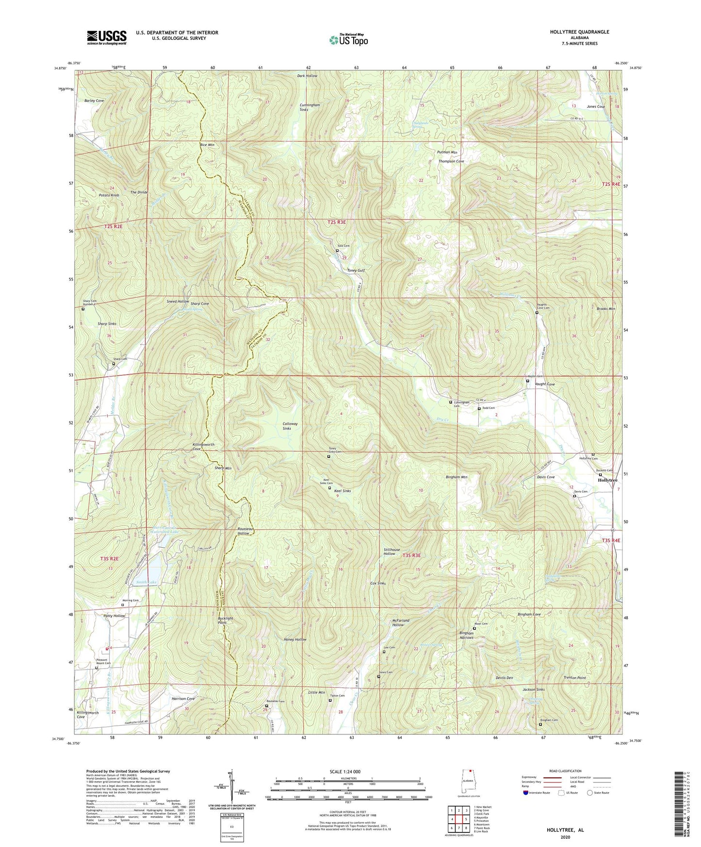
2024 topographic map quadrangle Hollytree in the state of Alabama. Scale: 1:24000. Based on the newly updated USGS 7.5' US Topo map series, this map is in the following counties: Jackson, Madison. The map contains contour data, water features, and other items you are used to seeing on USGS maps, but also has updated roads and other features. This is the next generation of topographic maps. Printed on high-quality waterproof paper with UV fade-resistant inks.
Quads adjacent to this one:
West: Maysville
Northwest: New Market
North: King Cove
Northeast: Estill Fork
East: Princeton
Southeast: Lim Rock
South: Paint Rock
Southwest: Moontown
This map covers the same area as the classic USGS quad with code o34086g3.
Contains the following named places: Bice Mountain, Bingham Cemetery, Bingham Mountain, Bingham Narrows, Brewer Spring, Brooks Mountain, Bucklight Point, Calloway Sinks, Chalybeate Spring, Clear Creek Hunting Club, Cox Sinks, Cunningham Sinks, Dark Hollow, Davis Cemetery, Davis Cove, Devils Den, Dripping Spring, Harrison Cove, Hollytree, Hollytree Cemetery, Honey Hollow, Horton Spring, Hurricane Creek Watershed Lake, Jackson Sinks, Jones Cemetery, Jones Cove, Jones School, Keel Sinks, Killingsworth Cove Volunteer Fire Department Station 1, Little Mountain, Maples Cemetery, McFarland Hollow, Moon Cemetery, Morring Cemetery, Mount Nebo Baptist Church, Mountain Lake Resort Dam, Padgett, Patty Hollow, Pleasant Mount Baptist Church, Pleasant Mount Cemetery, Rousseau Cemetery, Sharp Cemetery, Sharp Cemetery Number 2, Sharp Mountain, Sharp Sinks, Smith Lake, Sneed Hollow, Sneed Spring, Stillhouse Hollow, The Divide, Tipton Cemetery, Todd Cemetery, Tone Cemetery, Toney Gulf, Trenton Point, Vaught Cove, Williams Creek, ZIP Codes: 35751, 35766


