MyTopo
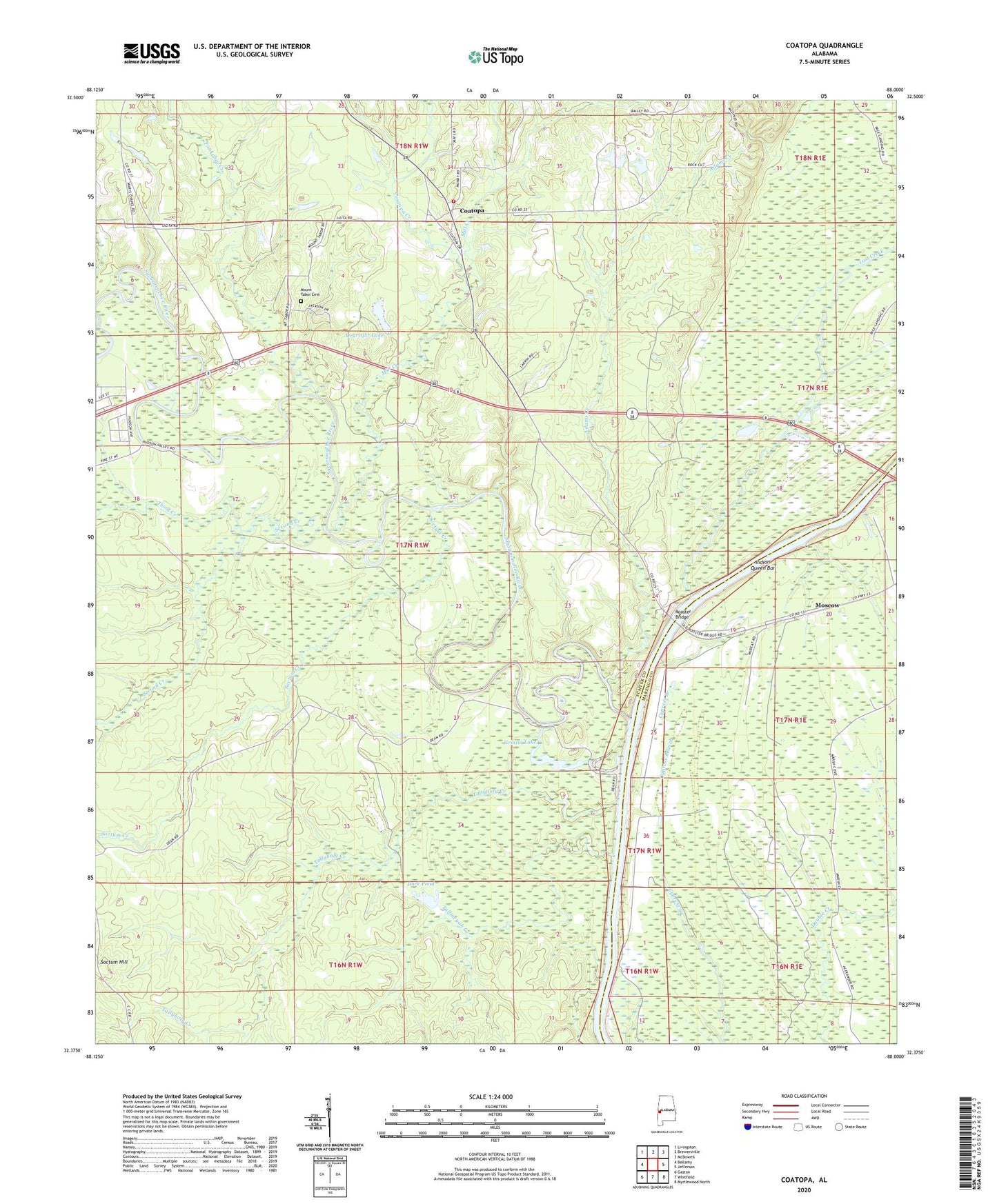
Coatopa Alabama US Topo Map
Couldn't load pickup availability
2024 topographic map quadrangle Coatopa in the state of Alabama. Scale: 1:24000. Based on the newly updated USGS 7.5' US Topo map series, this map is in the following counties: Sumter, Marengo. The map contains contour data, water features, and other items you are used to seeing on USGS maps, but also has updated roads and other features. This is the next generation of topographic maps. Printed on high-quality waterproof paper with UV fade-resistant inks.
Quads adjacent to this one:
West: Bellamy
Northwest: Livingston
North: Brewersville
Northeast: McDowell
East: Jefferson
Southeast: Myrtlewood North
South: Whitfield
Southwest: Gaston
This map covers the same area as the classic USGS quad with code o32088d1.
Contains the following named places: Adams Creek, Arrington, Bellamy Church, Black Bluff Precinct, Buckhorn Camp, Chaneys Landing, Cheneys Lower Landing, Coatopa, Coatopa Church, Coatopa Creek, Coatopa Dug Hill Volunteer Fire Department, Coatopa Post Office, Dean Lake, Deans Landing, Duck Pond, Friendship Baptist Church, Grinlin Lake, Hearts Upper Landing, Indian Queen Bar, Log Landing, Lost Creek, Marys Chapel Baptist Church, Marys Chapel School, Mcgregor Dam, Mcgregor Lake, Mill Creek, Moscow Ferry, Moscow Landing, Mount Pleasant Baptist Church, Mount Pleasant School, Mount Tabor Baptist Church, Mount Tabor Cemetery, Mount Tabor School, Pierces Landing, Ponkabia Creek, Rooster Bridge, Rooster Ridge Hunting Lodge, Second Creek, Shady Grove School, Soctum Creek, Soctum Hill, Spring Creek, Sucarnoochee River, Tallawyah Creek, Tallyhaly Creek, Third Creek, Vouters Landing


