MyTopo
McEntyre Alabama US Topo Map
Couldn't load pickup availability
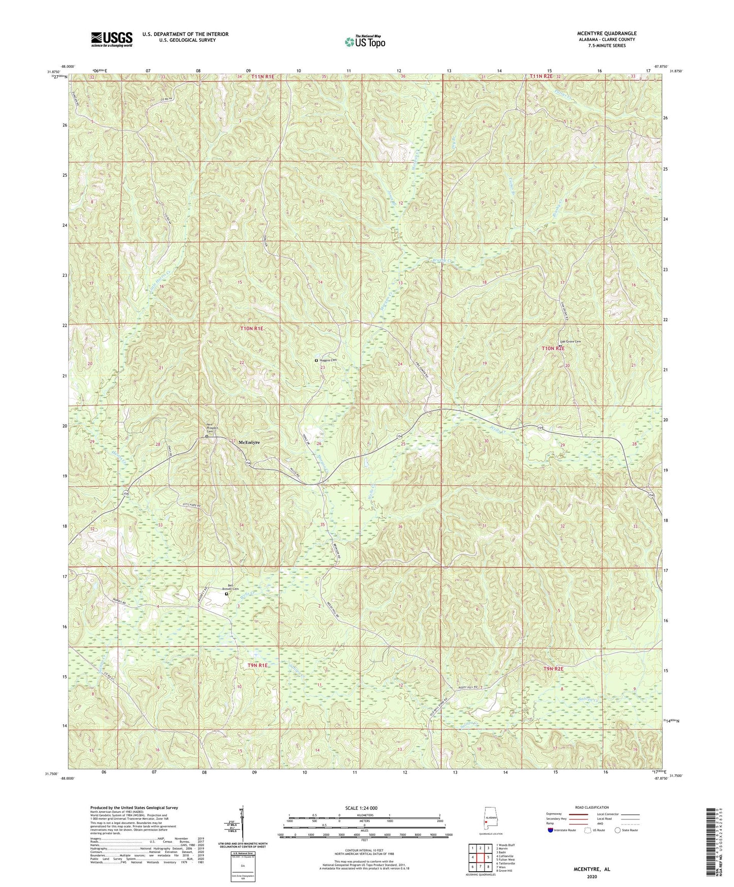
2024 topographic map quadrangle McEntyre in the state of Alabama. Scale: 1:24000. Based on the newly updated USGS 7.5' US Topo map series, this map is in the following counties: Clarke. The map contains contour data, water features, and other items you are used to seeing on USGS maps, but also has updated roads and other features. This is the next generation of topographic maps. Printed on high-quality waterproof paper with UV fade-resistant inks.
Quads adjacent to this one:
West: Coffeeville
Northwest: Woods Bluff
North: Morvin
Northeast: Bashi
East: Fulton West
Southeast: Grove Hill
South: Winn
Southwest: Tattlersville
This map covers the same area as the classic USGS quad with code o31087g8.
Contains the following named places: Bell Brewer Cemetery, Brushy Creek, Harris Creek, Huggins Cemetery, Jones Branch, Little Harris Creek, McEntyre, Morgan Creek, New Prospect Cemetery, New Prospect Church, Oak Grove Cemetery, Oak Grove Church, Sand Hill Lookout Tower, Scotch Wildlife Management Area Headquarters, Tucker Branch, Wells Creek