MyTopo
Mount Carmel Alabama US Topo Map
Couldn't load pickup availability
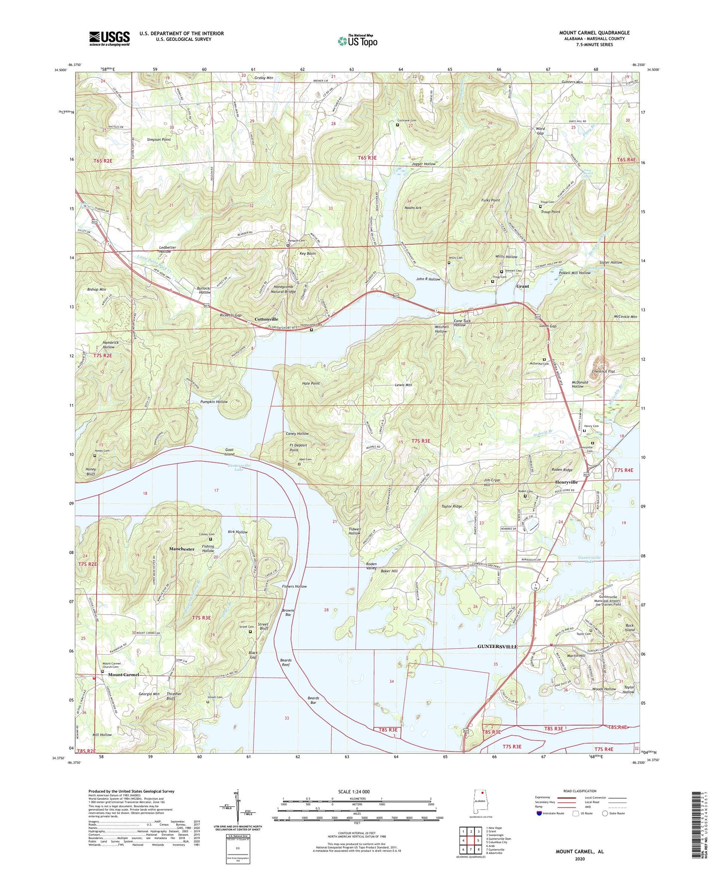
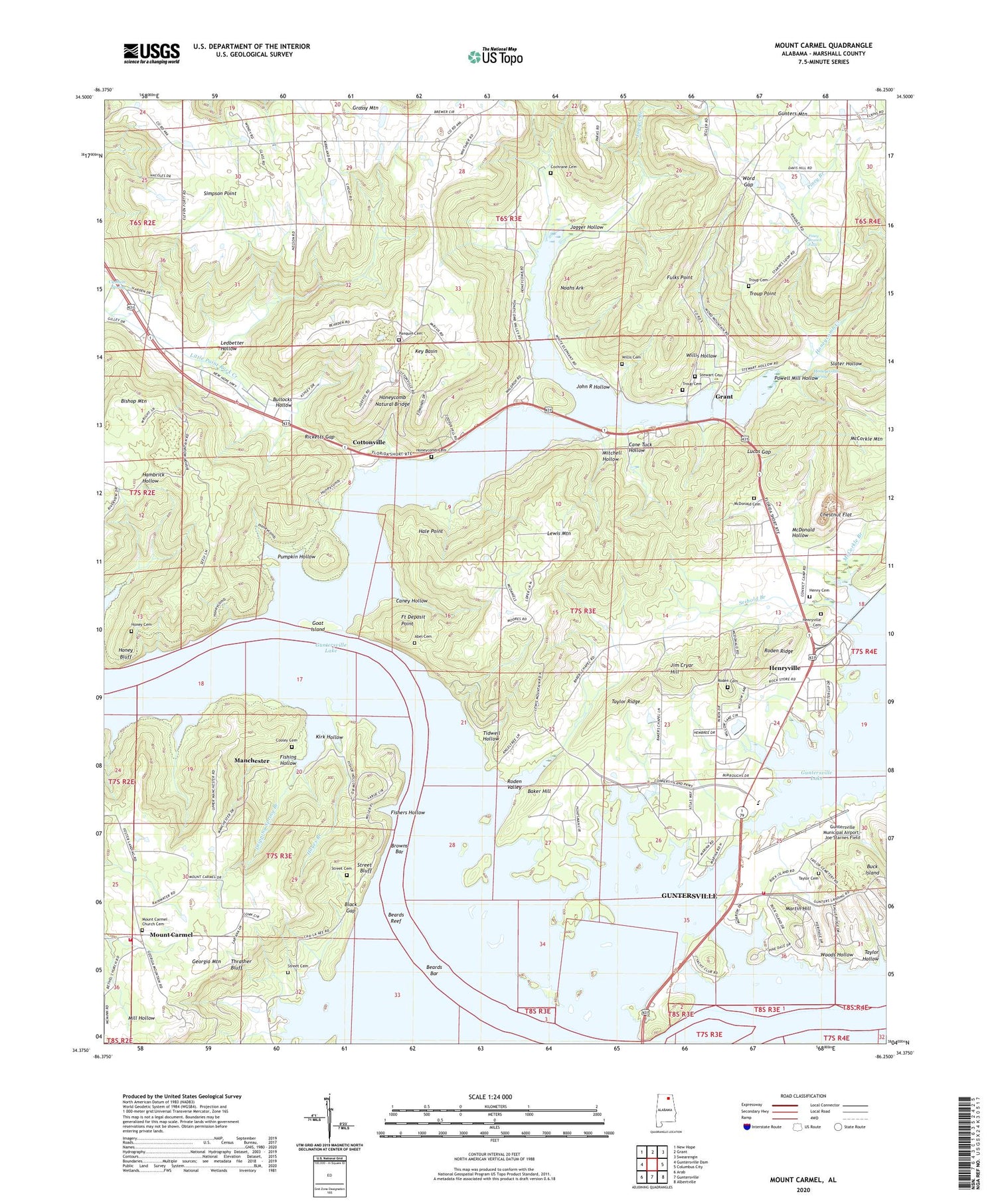
2024 topographic map quadrangle Mount Carmel in the state of Alabama. Scale: 1:24000. Based on the newly updated USGS 7.5' US Topo map series, this map is in the following counties: Marshall. The map contains contour data, water features, and other items you are used to seeing on USGS maps, but also has updated roads and other features. This is the next generation of topographic maps. Printed on high-quality waterproof paper with UV fade-resistant inks.
Quads adjacent to this one:
West: Guntersville Dam
Northwest: New Hope
North: Grant
Northeast: Swearengin
East: Columbus City
Southeast: Albertville
South: Guntersville
Southwest: Arab
This map covers the same area as the classic USGS quad with code o34086d3.
Contains the following named places: Abel Cemetery, Adams Street Baptist Church, Alred Marina, Baker Chapel, Baker Hill, Beards Bar, Beards Reef, Bethel Church, Birmingham YMCA Camp, Bishop Mountain, Black Gap, Browns Bar, Buck Island, Buck Island Shores, Bullocks Hollow, Cane Tuck Hollow, Caney Hollow, Cha-La-Kee YMCA Camp, Cheek Reservation, Chestnut Flat, Claysville, Claysville Church, Claysville Junior High School, Cochrane Cemetery, Cooley Cemetery, Cottonville, Cottonville School, Cushion, Cushion Spring, Deposit Landing, Dripping Spring Branch, Fishers Hollow, Fishing Hollow, Fort Deposit, Fort Deposit Ferry, Fort Deposit Point, Fulks Point, Georgia Mountain Volunteer Fire Department Station 1, Goat Island, Grant Division, Grassy Mountain, Grassy Mountain Church, Gunter Reservation, Guntersville Lake Yacht Club, Guntersville Municipal Airport - Joe Starnes Field, Hale Point, Half Acre Estates, Hampton Grove Church, Hampton Grove School, Hanaville Church, Hardshell Baptist Church, Hayes Branch, Henry Cemetery, Henryville, Henryville Cemetery, Henryville Church, Holiday Shores, Holiness Church, Honey Bluff, Honey Cemetery, Honeycomb Cemetery, Honeycomb Church, Honeycomb Creek, Honeycomb Natural Bridge, Honeycomb Park, Honeycomb School, Honeycomb Snug Harbor, Honeycomb Spring, Jagger Branch, Jagger Hollow, Jim Cryar Hill, John R Hollow, Johnson, Key Basin, Kirk Hollow, Ledbetter Hollow, Lewis Mountain, Lindsey-Honeycomb Creek Wild Area, Lucas Gap, Manchester, Marshall Baptist Camp, Marshall County Park, Martin Hill, McCorkle Branch, McDonald Cemetery, McDonald Hollow, McKee Island, Missionary Church, Mitchell Hollow, Mount Carmel, Mount Carmel Church, Mount Carmel Church Cemetery, Noahs Ark, North, Panquin Cemetery, Pine Shores, Pinedale Shores, Piney Branch, Piney Branch Falls, Plant System Hospital Number Three, Playground Shores, Powell Mill Hollow, Pumpkin Hollow, Ricketts Gap, Riverbend Marina, Riverview Campground, Roden Cemetery, Roden Ridge, Roden Valley, Saint Peters Parish School, Seibold Branch, Shadowfax Farm, Shady Acres, Simpson Point, Simpson Point Church, Simpson Point School, Slater Hollow, Stewart Cemetery, Street Bluff, Street Bluff Boat Dock, Street Cemetery, Taylor Cemetery, Taylor Hollow, Taylor Ridge, The Y, Thompson Reservation, Thrasher Bluff, Tidwell Hollow, Troup Cemetery, Troup Point, Williams Marina, Willis Cemetery, Willis Hollow, Woods Hollow, Word Gap, Yogi Bears Jellystone Park, ZIP Code: 35747


