MyTopo
Myrtlewood North Alabama US Topo Map
Couldn't load pickup availability
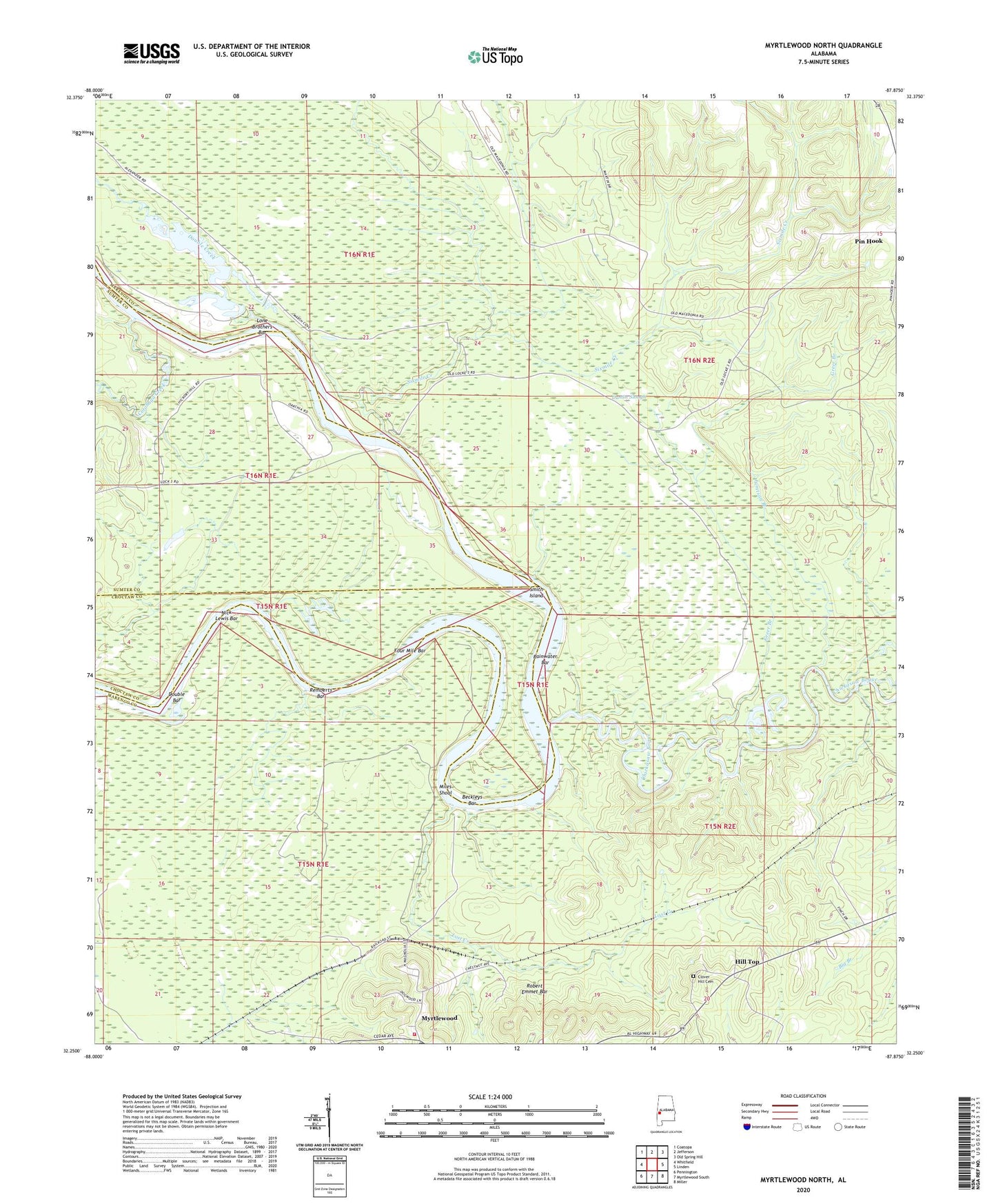
2024 topographic map quadrangle Myrtlewood North in the state of Alabama. Scale: 1:24000. Based on the newly updated USGS 7.5' US Topo map series, this map is in the following counties: Marengo, Sumter, Choctaw. The map contains contour data, water features, and other items you are used to seeing on USGS maps, but also has updated roads and other features. This is the next generation of topographic maps. Printed on high-quality waterproof paper with UV fade-resistant inks.
Quads adjacent to this one:
West: Whitfield
Northwest: Coatopa
North: Jefferson
Northeast: Old Spring Hill
East: Linden
Southeast: Miller
South: Myrtlewood South
Southwest: Pennington
This map covers the same area as the classic USGS quad with code o32087c8.
Contains the following named places: Anopia, Beckleys, Beckleys Bar, Beckleys Landing, Besteda Landing, Blue Lock, Brooklyn Church, Bryant Burns Landing, Cedahoma, Chickasaw Bogue, Chickasaw Bogue Landing, Clover Hill Cemetery, Cotahaga Landing, Cotohaga Creek, Double Bar, Double Creek, Dustin Slough, Four Mile Bar, Gilmores, Greer Branch, Griffins, Griffins Landing, Hill Top, Indian Creek, Jamison Branch, Jerusalem Church, Lewis Lower Landing, Lewis Upper Landing, Lock Number Three, Lock Three Left Bank Public Use Area, Lock Three Right Bank Public Use Area, Lone Brothers Bar, Lost Creek, McNeals Landing, McNeils, Miles Shoal, Myrtlewood, Myrtlewood Elementary School, Myrtlewood Volunteer Fire Department, New Macedonia Church, Nick Lewis Bar, Oak Tree Landing, Oakchi Landing East, Port Clarion, Rainwater, Rainwater Bar, Rembert Landing, Remberts Bar, Remberts Landing, Rentz Ferry, Robert Emmet Bar, Robertson Landing, Shady Grove, Silmares Landing, Sixmile Creek, Smith Island, Town of Myrtlewood, ZIP Code: 36763


