MyTopo
Old Bethel Alabama US Topo Map
Couldn't load pickup availability
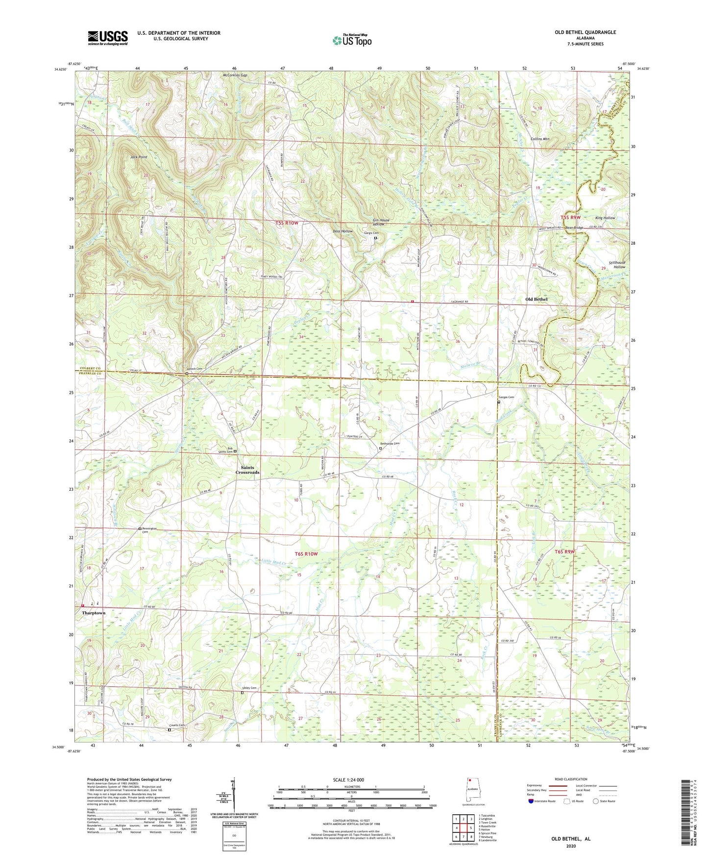
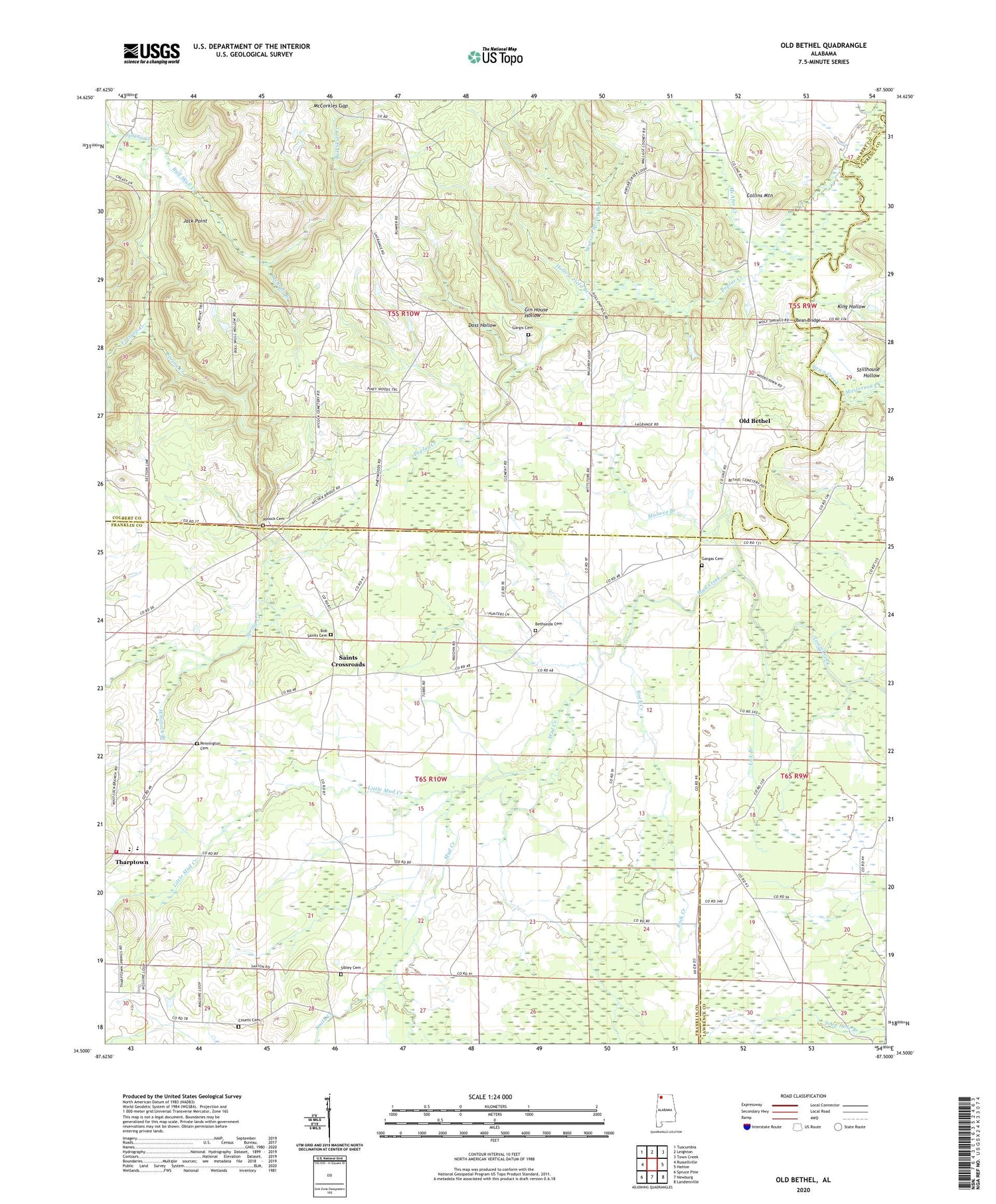
2024 topographic map quadrangle Old Bethel in the state of Alabama. Scale: 1:24000. Based on the newly updated USGS 7.5' US Topo map series, this map is in the following counties: Colbert, Franklin, Lawrence. The map contains contour data, water features, and other items you are used to seeing on USGS maps, but also has updated roads and other features. This is the next generation of topographic maps. Printed on high-quality waterproof paper with UV fade-resistant inks.
Quads adjacent to this one:
West: Russellville
Northwest: Tuscumbia
North: Leighton
Northeast: Town Creek
East: Hatton
Southeast: Landersville
South: Newburg
Southwest: Spruce Pine
This map covers the same area as the classic USGS quad with code o34087e5.
Contains the following named places: Abbey Post Office, Antioch Church, Avoca, Aycock Cemetery, Bean Bridge, Bethel School, Bethsaida, Bethsaida Cemetery, Bethsaida Church, Bob Saint Cemetery, Boston School, Bruton School, Bull Skull Creek, C C Smith Elementary School, Cabin Branch, Center View School, Clemments Mill, Collins Mountain, Counts Cemetery, Doss Hollow, Foxtrap Creek, Gargis Cemetery, Gin House Hollow, Harmony Freewill Baptist Church, Hickory Grove School, Hollow Field Branch, Hopewell Church of Christ, Hopewell School, Jack Point, King Hollow, Kirby Bridge, La Grange, La Grange School, LaGrange Volunteer Fire Department, Lick Branch, Little Mud Creek, Masterson Creek, McAfee Creek, McBride Branch, McCorkles Gap, Midway Freewill Baptist Church, Midway Methodist Church, Mount Moriah School, Mud Creek, Mud Creek School, Mulwee Branch, New La Grange Church, Old Bethel, Old Bethel Baptist Church, Pane, Pane Post Office, Pennington Cemetery, Poplar Creek, Poplar Creek Missionary Baptist Church, Poplar Creek School, Prairie Grove Church, Prairie Grove School, Rock Creek, Rocky Glen Elementary School, Saints Crossroads, Sibley Cemetery, Smith Creek, Stillhouse Hollow, Tharptown Junior High School, Tharptown Volunteer Fire Department, Vandiver Brothers Lake, Vandiver Brothers Lake Dam, Watson Spring Branch, Whitlock Branch, Zion Hill Baptist Church


