MyTopo
Opp East Alabama US Topo Map
Couldn't load pickup availability
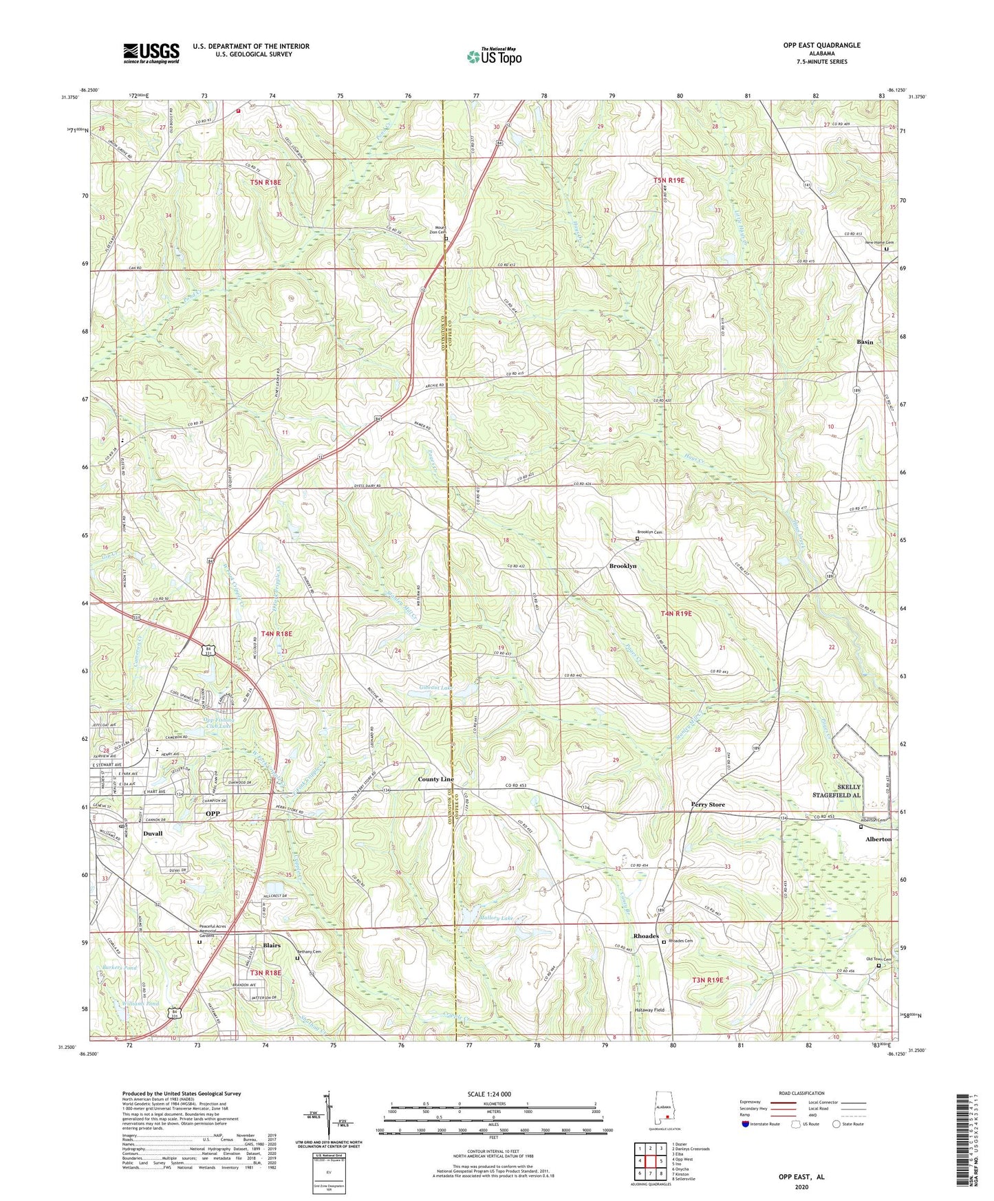
2024 topographic map quadrangle Opp East in the state of Alabama. Scale: 1:24000. Based on the newly updated USGS 7.5' US Topo map series, this map is in the following counties: Coffee, Covington. The map contains contour data, water features, and other items you are used to seeing on USGS maps, but also has updated roads and other features. This is the next generation of topographic maps. Printed on high-quality waterproof paper with UV fade-resistant inks.
Quads adjacent to this one:
West: Opp West
Northwest: Dozier
North: Danleys Crossroads
Northeast: Elba
East: Ino
Southeast: Sellersville
South: Kinston
Southwest: Onycha
This map covers the same area as the classic USGS quad with code o31086c2.
Contains the following named places: Alberton, Alberton Baptist Church, Alberton Cemetery, Alberton Methodist Church, Barkers Pond, Basin, Basin School, Bethany Baptist Church, Bethany Cemetery, Bethany Church, Blairs, Brooklyn, Brooklyn Baptist Church, Brooklyn Cemetery, Brooklyn Congregational Methodist Church, Capitol Hill Baptist Church, Charles Gibeaut Lake Dam, Church of Christ, City of Opp Eastside Sewage Lagoon, Cool Springs Church, County Line, County Line Church, Duvall, East Fork Cripple Creek, Faith Chapel Church, Fleeta Junior High School, Gibeaut Lake, Green Horn Saddle Club, Holly Grove Methodist Church, Joe B Johnson Dam, Kingdom Hall of Jehovahs Witnesses, Kinston Division, Kinston Full Gospel Church, Lakeview Village Mobile Home Park, Leo Williams, Little Hays Creek, Mallory Lake, Mallory Lake Dam, Mount Zion Cemetery, Mount Zion Methodist Church, New Chapel Cemetery, New Chapel Church, New Home Cemetery, New Home Primitive Baptist Church, New Life Church, Old Town Cemetery, Opp Fishing Club Dam, Opp Fishing Club Lake, Opp High School, Opp Industrial Park Number 3, Opp Post Office, Peaceful Acres Memorial Gardens, Perry Store, Pine Grove Church, Providence Primitive Baptist Church, Rhoades, Rhoades Cemetery, Rhoades School, Skelly Field, Stanley Mill Creek, Sweetwater Baptist Church, Union Grove Church, Union Grove Fire Department, West County Line Baptist Church, West Fork Cripple Creek, Williams Pond, WOPP-AM (Opp)


