MyTopo
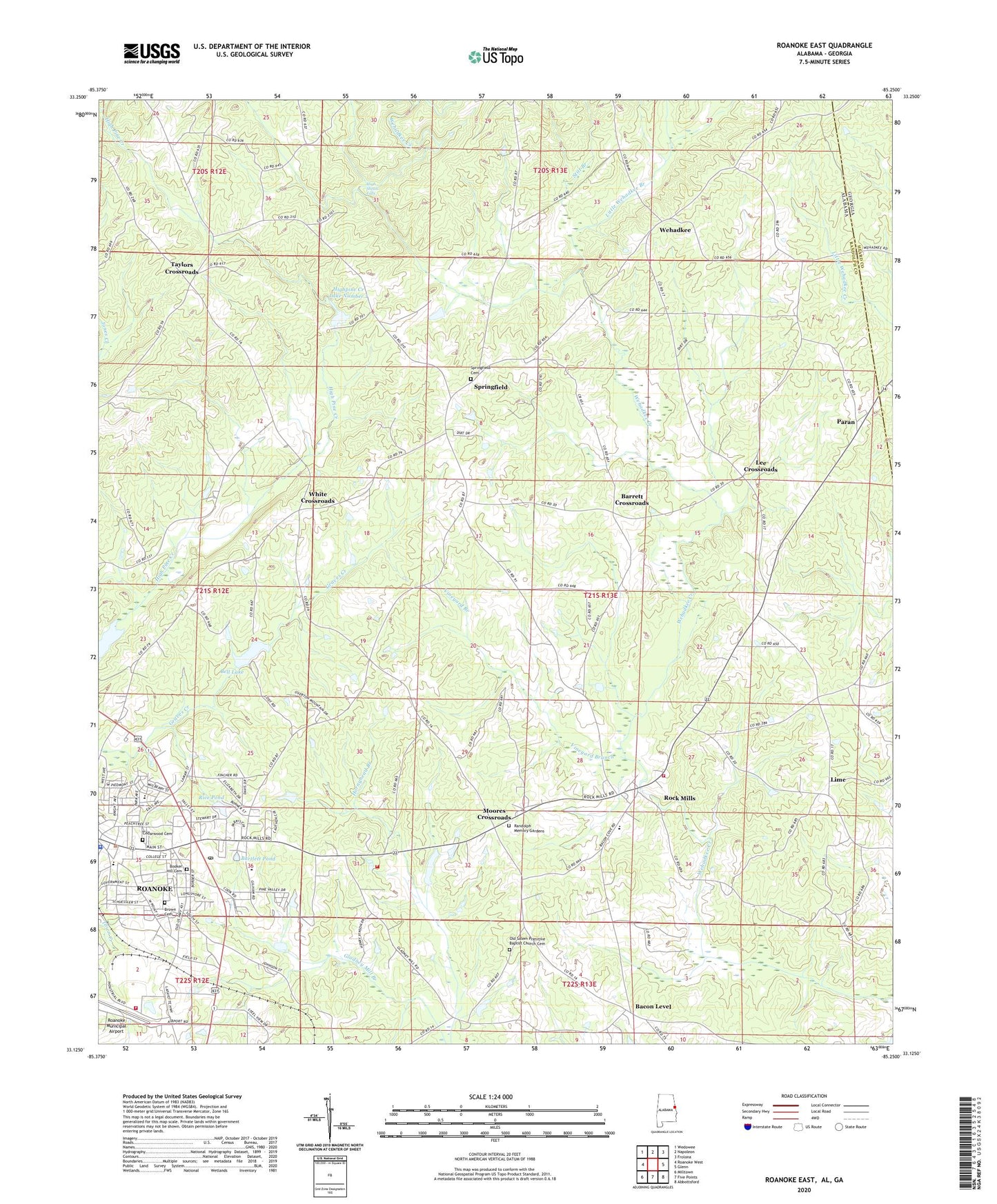
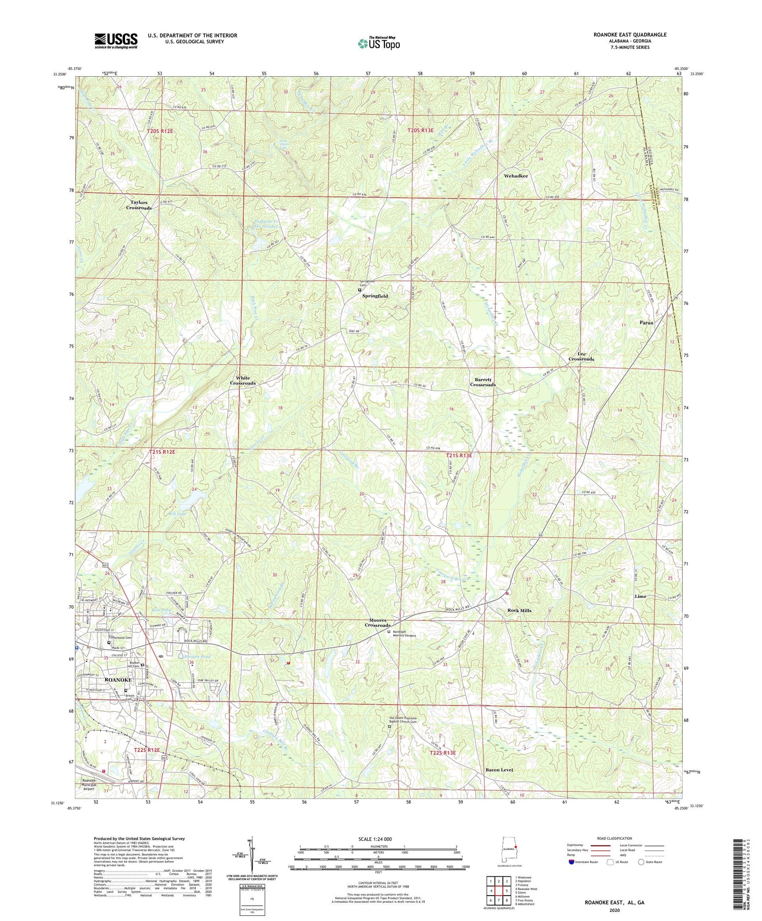
Roanoke East Alabama US Topo Map
Couldn't load pickup availability
2024 topographic map quadrangle Roanoke East in the state of Alabama. Scale: 1:24000. Based on the newly updated USGS 7.5' US Topo map series, this map is in the following counties: Randolph, Heard. The map contains contour data, water features, and other items you are used to seeing on USGS maps, but also has updated roads and other features. This is the next generation of topographic maps. Printed on high-quality waterproof paper with UV fade-resistant inks.
Quads adjacent to this one:
West: Roanoke West
Northwest: Wedowee
North: Napoleon
Northeast: Frolona
East: Glenn
Southeast: Abbottsford
South: Five Points
Southwest: Milltown
Contains the following named places: Bacon Level, Barrett Crossroads, Bartlett Pond, Bell Lake, Bethany Lime Church, Bethel Methodist Episcopal Church, Booker Hill Cemetery, Brown Cemetery, Cedarwood Cemetery, Center Chapel, City of Roanoke, Dickert Volunteer Fire Department, Fellowship Baptist Church, First Baptist Church, First United Methodist Church, Forest Home Church, Greshamton, Handley High School, Handley Middle School, High Pine Creek Lake Number 3, High Pine Creek Watershed Dam Number 3, High Shoals, High Shoals Falls, Highpine Creek Lake Number 1, Highpine Creek Watershed Dam Number 1, Knight Enloe Elementary School, Lebanon Church, Lee Crossroads, Lime, Little Wehadkee Branch, Macedonia Church, Midway Full Gospel Church, Moores Crossroads, Neighborhood Chapel Church of God, Old Salem Primitive Baptist Church Cemetery, Paran, Paran Church, Pine Hill Church, Randolph County Training School, Randolph Memory Gardens, Rice Dam, Rice Pond, Roanoke, Roanoke City Hall, Roanoke Division, Roanoke Fire Department Station 2, Roanoke Municipal Airport, Roanoke Police Department Headquarters, Roanoke Post Office, Roanoke Public Library, Rock Mills, Rock Mills Census Designated Place, Rock Mills Church, Rock Mills First Baptist Church, Rock Mills Junior High School, Rock Mills Volunteer Fire Department, Salem Primitive Baptist Church, Schuessler Dam, Southside Baptist Church, Springfield, Springfield Baptist Church, Springfield Cemetery, Stitt Branch, Taylor Crossroads Church, Taylors Crossroads, Trinity Baptist Church, Vineyard Branch, Wehadkee, Wehadkee Church, Welcome Home Church, WELR-AM (Roanoke), White Crossroads, ZIP Code: 36274


