MyTopo
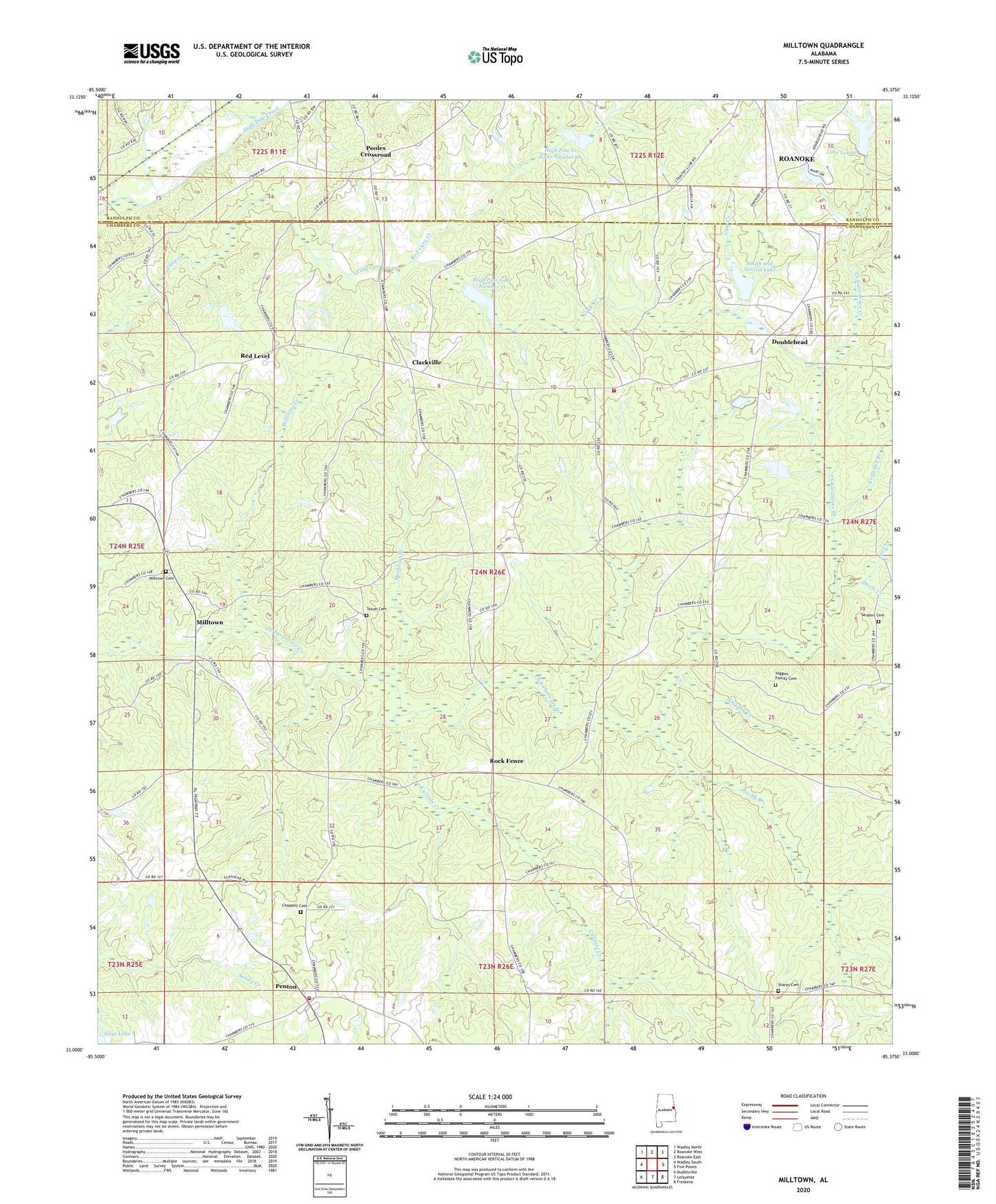
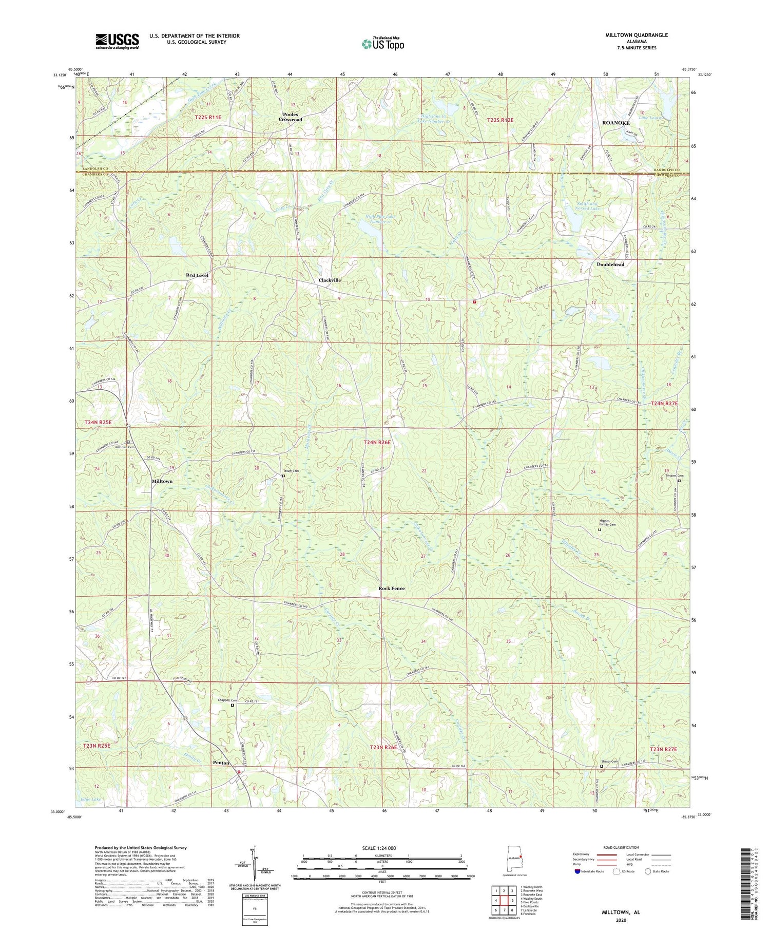
Milltown Alabama US Topo Map
Couldn't load pickup availability
2024 topographic map quadrangle Milltown in the state of Alabama. Scale: 1:24000. Based on the newly updated USGS 7.5' US Topo map series, this map is in the following counties: Chambers, Randolph. The map contains contour data, water features, and other items you are used to seeing on USGS maps, but also has updated roads and other features. This is the next generation of topographic maps. Printed on high-quality waterproof paper with UV fade-resistant inks.
Quads adjacent to this one:
West: Wadley South
Northwest: Wadley North
North: Roanoke West
Northeast: Roanoke East
East: Five Points
Southeast: Fredonia
South: Lafayette
Southwest: Dudleyville
This map covers the same area as the classic USGS quad with code o33085a4.
Contains the following named places: Albany, Antioch Church, Brown Dam, Brown Lake, Carlisle Creek, Chambers County High School, Chappell Cemetery, Clackville, Crowder Branch, Davis Creek, Doublehead, Edge Dam, Edge Lake, Higgins Family Cemetery, High Pine, High Pine Baptist Church, High Pine Creek Lake Number 10, High Pine Creek Watershed Dam Number 10, High Pine Creek Watershed Dam Number 12, High Pine Lake Number 11, High Pine Water Shed Dam Number 11, Lake Louise, Lake Louise Dam, Langdon, Lee Creek, Mathews Branch, Milltown, Milltown Cemetery, Milltown Church, Mount Hickory Church, Mount Olive Community Center, Mount Olive Volunteer Fire Department, New Harmony Church, New Hope Church, Peace and Goodwill Church, Penton, Penton Census Designated Place, Penton Church, Penton Raceway, Pleasant Hill Baptist Church, Pooles Crossroad, Red Caty Creek, Red Level, Rehope Church, Rock Fence, Rocky Branch, Royston Dam, Royston Lake, Sanders Cemetery, Sharps Cemetery, Slaughter Dam, Slaughter Lake, Smith and Norred Lake, Tatum Cemetery, The Greater Pine Hill Church, Union Hill Volunteer Fire Department, Welch Dam, Welch Lake, Whatley Creek, Williams Creek


