MyTopo
Alma Mesa Arizona US Topo Map
Couldn't load pickup availability
Also explore the Alma Mesa Forest Service Topo of this same quad for updated USFS data
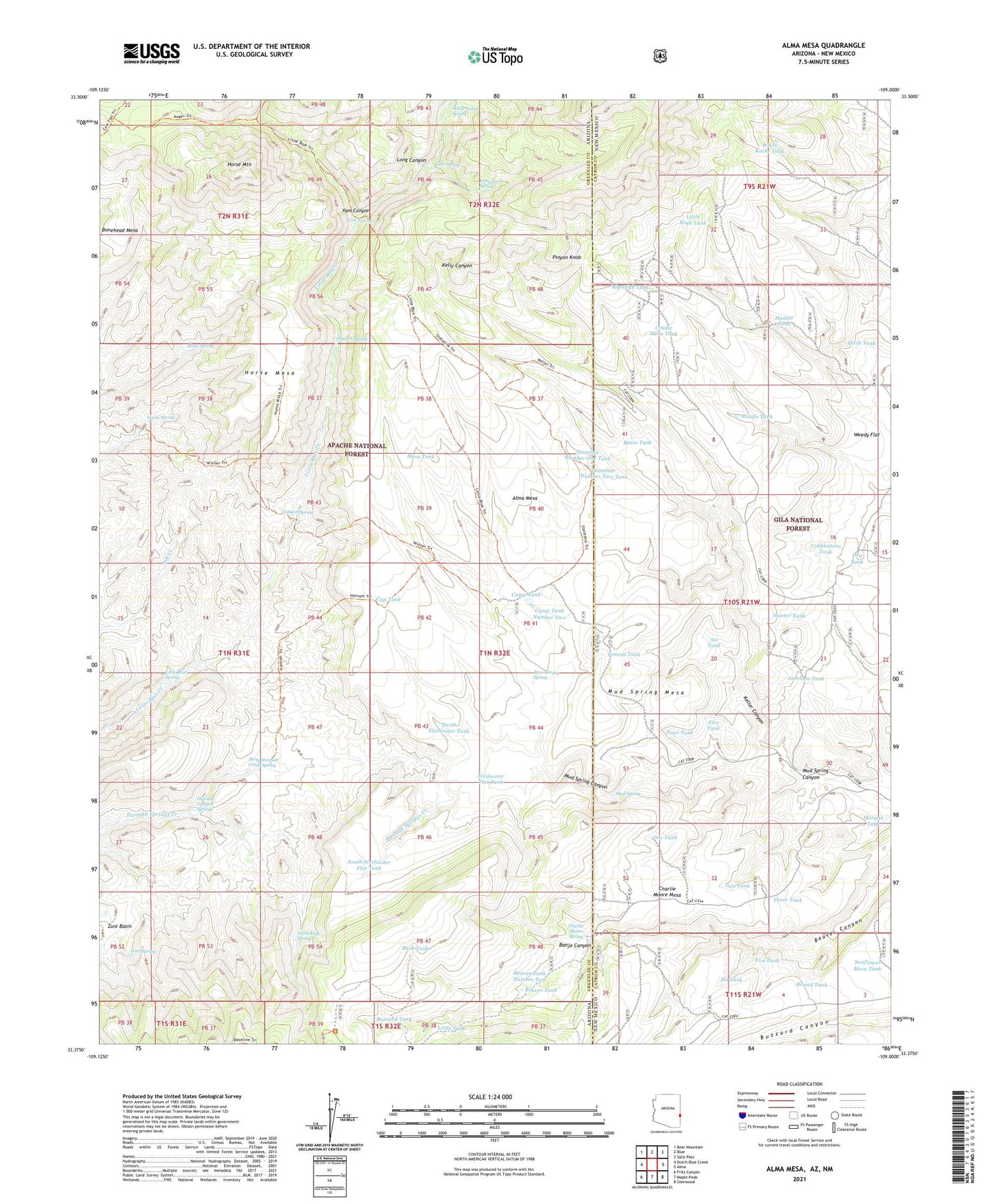
2021 topographic map quadrangle Alma Mesa in the states of Arizona, New Mexico. Scale: 1:24000. Based on the newly updated USGS 7.5' US Topo map series, this map is in the following counties: Greenlee, Catron. The map contains contour data, water features, and other items you are used to seeing on USGS maps, but also has updated roads and other features. This is the next generation of topographic maps. Printed on high-quality waterproof paper with UV fade-resistant inks.
Quads adjacent to this one:
West: Dutch Blue Creek
Northwest: Bear Mountain
North: Blue
Northeast: Saliz Pass
East: Alma
Southeast: Glenwood
South: Maple Peak
Southwest: Fritz Canyon
Contains the following named places: Alma Mesa, Alma Trailhead, Antelope Tank, Banjo Canyon, Baseline Trailhead, Basin Tank, Beaver Tank, Beaver Tank Number Two, Bedrock Corrall, Big High Tank, Bonehead Mesa, Buck Tank, Buzzard Tank, Camp Tank, Camp Tank Number One, Camp Tank Number Two, Canyon Spring, Cap Tank, Charlie Moore Mesa, Charlie Moore Place, Charlie Moore Spring, Cobblestone Tank, Cradle Mesa Corral, Cradle Mesa Tank, Deep Tank, Dirty Hannah Creek Spring, Ditch Tank, Dry Tank, Eva Tank, Five Tank, Four Tank, Hannah Canyon Springs, Hard Rock Spring, Hobbled Steer Tank, Horse Mesa, Horse Mountain, Horse Spring, Hunter Tank, Kellar Trailhead, Little Blue Creek Forty-one Trail, Little Blue Spring, Little High Tank, Little Tank, Long Canyon, Long Ears Spring, Magnet Spring, Mesa Spring, Mesa Tank, Middle Tank, Moore Spring, Morgan Tank, Mud Spring, Mud Spring Canyon, Mud Spring Mesa, New Hobbled Steer Tank, North Sixshooter Tank, One Tank, Open Flat Corral, Pinyon Knob, Pit Tank, Round Tank, Six Tank, Sixshooter Flat Tank, South Sixshooter Flat Tank, Stateline Camp, Stateline Number One Tank, Stateline Number Two Tank, Stateline Tank, Stateline Trailhead, Sunflower Mesa Tank, Three Tank, Tomcat Tank, Two Tank, Two-Timing Spring, Uee Spring, White Rocks Tank, White Yams Spring, Yam Canyon, Yam Spring, Zuni Spring


