
MyTopo
Blue Arizona US Topo Map
Couldn't load pickup availability
Also explore the Blue Forest Service Topo of this same quad for updated USFS data
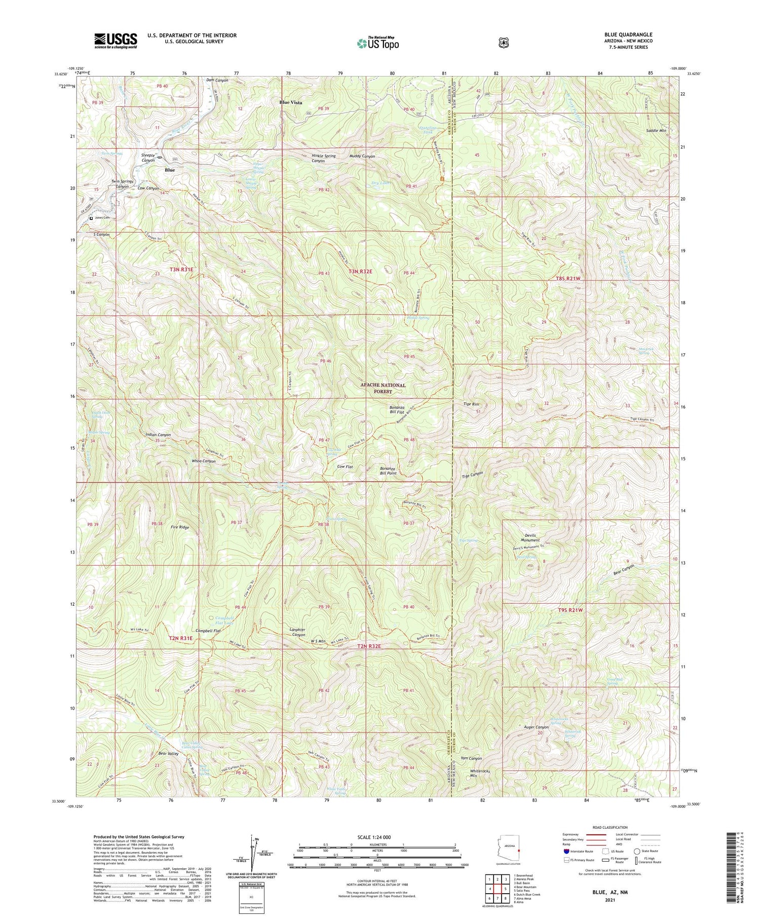
2021 topographic map quadrangle Blue in the states of Arizona, New Mexico. Scale: 1:24000. Based on the newly updated USGS 7.5' US Topo map series, this map is in the following counties: Greenlee, Catron. The map contains contour data, water features, and other items you are used to seeing on USGS maps, but also has updated roads and other features. This is the next generation of topographic maps. Printed on high-quality waterproof paper with UV fade-resistant inks.
Quads adjacent to this one:
West: Bear Mountain
Northwest: Beaverhead
North: Maness Peak
Northeast: Bull Basin
East: Saliz Pass
Southeast: Alma
South: Alma Mesa
Southwest: Dutch Blue Creek
Contains the following named places: Bear Valley, Bear Valley Cabin Spring, Bear Valley Spring, Blue, Blue Post Office, Blue Vista, Bonanza Bill Flat, Bonanza Bill Point, Bonanza Bill Trailhead, Bush Creek, Campbell Flat, Campbell Flat Lake, Cashier Spring, Cow Canyon, Cow Flat, Cow Flat Spring, Devil Spring, Devils Monument, Dry Lakes, Dutch Oven Spring, Fire Ridge, Franz Spring, Gray Bull Spring, Hinkle Spring, Hinkle Spring Canyon, Indian Canyon, Jones Cemetery, Lower Steeple Spring, Maple Spring, Marks Ranch, Maverick Spring, Muddy Canyon, S Canyon, Saddle Mountain, Saddle Mountain Lookout, Stateline Tank, Steeple Canyon, Sycamore Trail, Tige Rim, Tige Spring, Twin Springs, Twin Springs Canyon, Upper Steeple Spring, W S Lake, W S Mountain, Whiterock Spring, Whiterocks Mountain, Whiterocks Spring, Whoa Canyon


