MyTopo
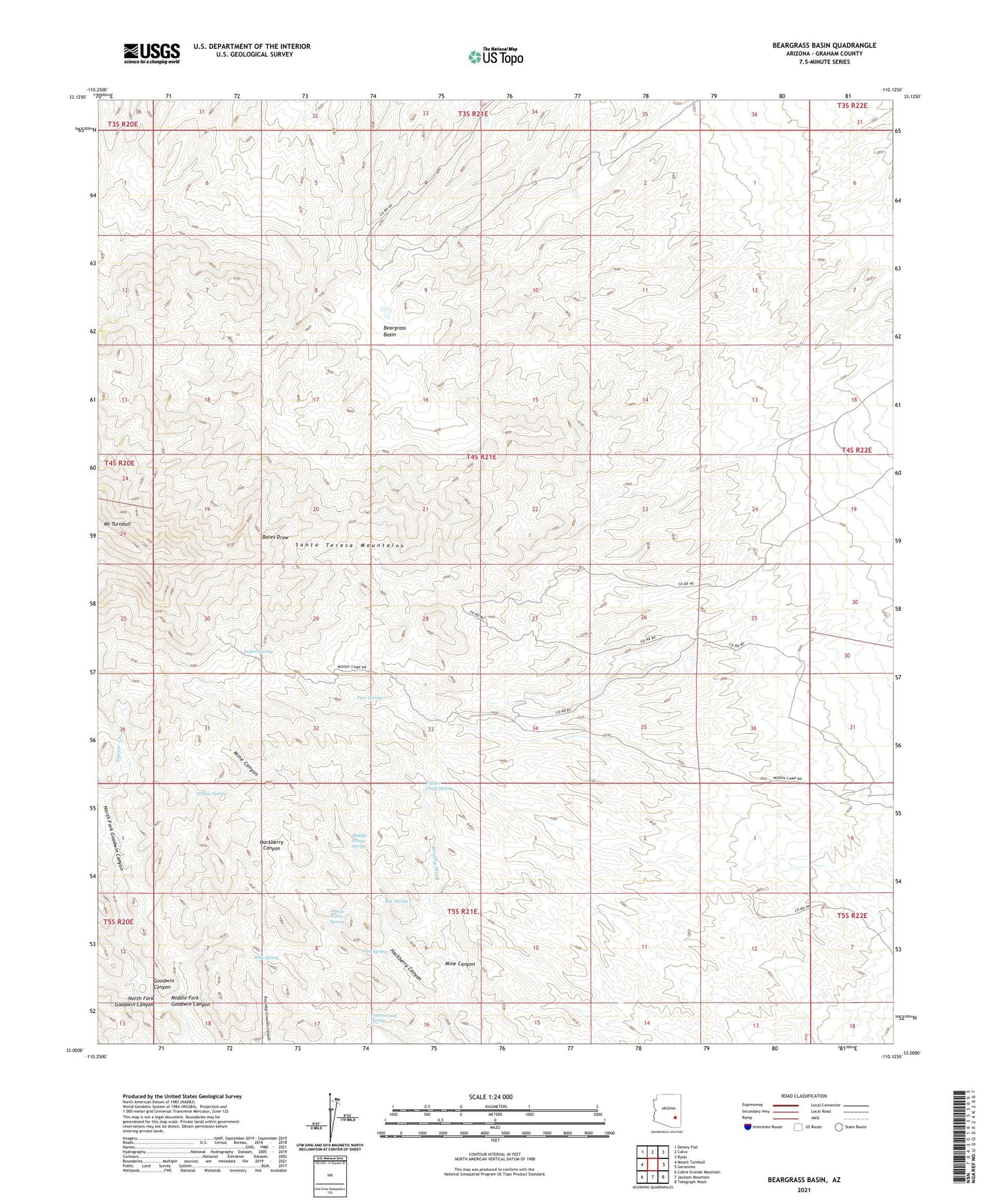
Beargrass Basin Arizona US Topo Map
Couldn't load pickup availability
Also explore the Beargrass Basin Forest Service Topo of this same quad for updated USFS data
2023 topographic map quadrangle Beargrass Basin in the state of Arizona. Scale: 1:24000. Based on the newly updated USGS 7.5' US Topo map series, this map is in the following counties: Graham. The map contains contour data, water features, and other items you are used to seeing on USGS maps, but also has updated roads and other features. This is the next generation of topographic maps. Printed on high-quality waterproof paper with UV fade-resistant inks.
Quads adjacent to this one:
West: Mount Turnbull
Northwest: Dewey Flat
North: Calva
Northeast: Bylas
East: Geronimo
Southeast: Telegraph Wash
South: Jackson Mountain
Southwest: Cobre Grande Mountain
This map covers the same area as the classic USGS quad with code o33110a2.
Contains the following named places: Beargrass Basin, Box Spring, Clay Spring, Cottonwood Spring, Dutch Cabin Spring, Fiddler Camp Spring, Goat Camp, Indian Spring, Lower Goat Camp, Mescal Pit, Middle Fork Goodwin Canyon, Middle Prong Spring, Mine Canyon, North Fork Goodwin Canyon, Pace Spring, Squaw Creek, Wilk Spring, Willow Spring, ZIP Code: 85530