MyTopo
Telegraph Wash Arizona US Topo Map
Couldn't load pickup availability
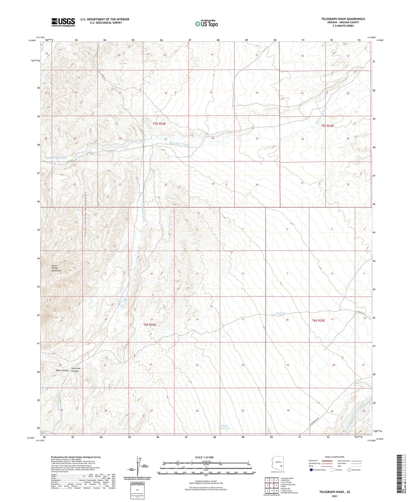
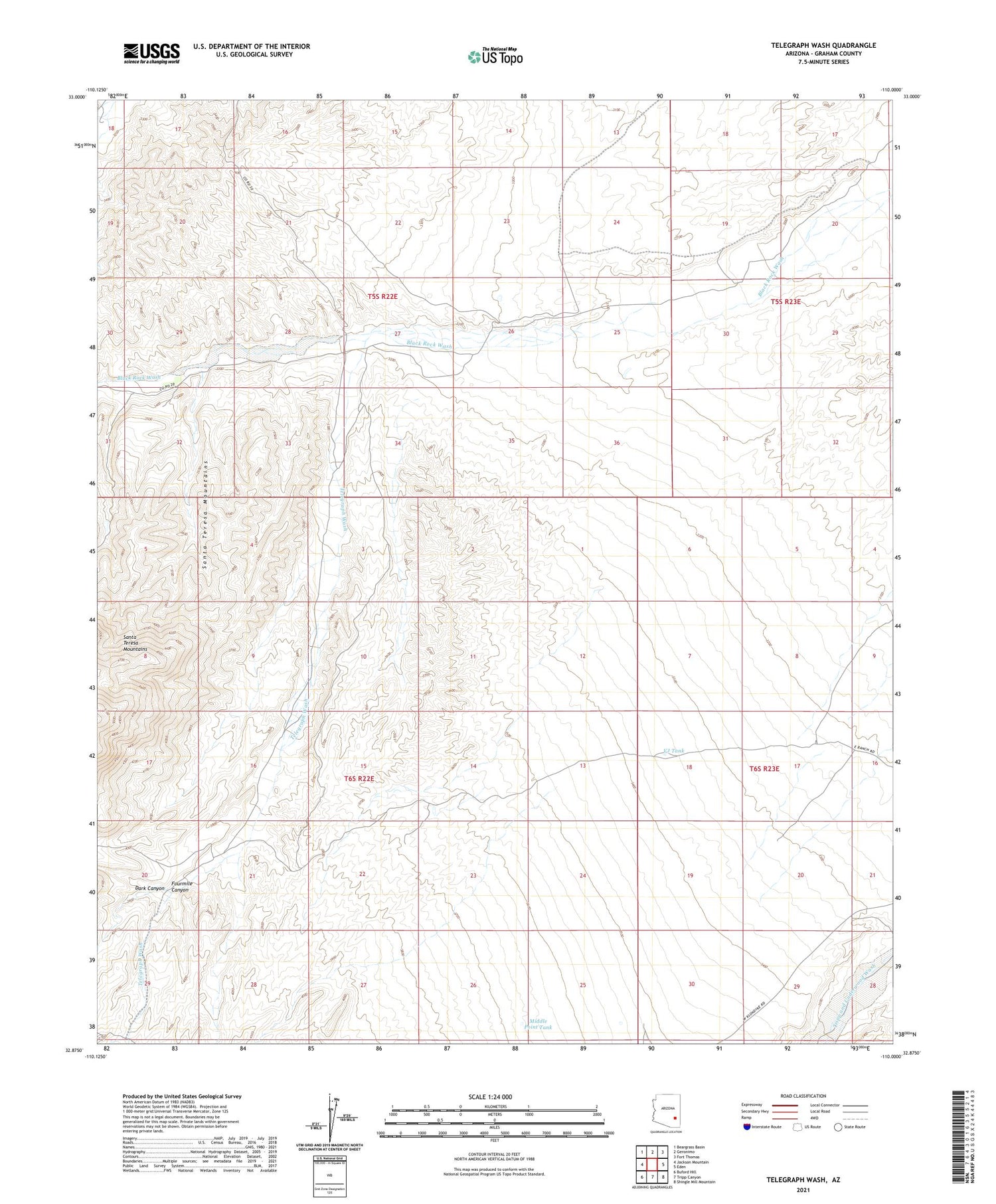
2021 topographic map quadrangle Telegraph Wash in the state of Arizona. Scale: 1:24000. Based on the newly updated USGS 7.5' US Topo map series, this map is in the following counties: Graham. The map contains contour data, water features, and other items you are used to seeing on USGS maps, but also has updated roads and other features. This is the next generation of topographic maps. Printed on high-quality waterproof paper with UV fade-resistant inks.
Quads adjacent to this one:
West: Jackson Mountain
Northwest: Beargrass Basin
North: Geronimo
Northeast: Fort Thomas
East: Eden
Southeast: Shingle Mill Mountain
South: Tripp Canyon
Southwest: Buford Hill
This map covers the same area as the classic USGS quad with code o32110h1.
Contains the following named places: Brimhall Well, Corral Well, Dark Canyon, Fourmile Canyon, Mesquite Well, Middle Point Tank, Pace Ranch, Telegraph Wash, VJ Tank, Y L Ranch