MyTopo
Big Lake North Arizona US Topo Map
Couldn't load pickup availability
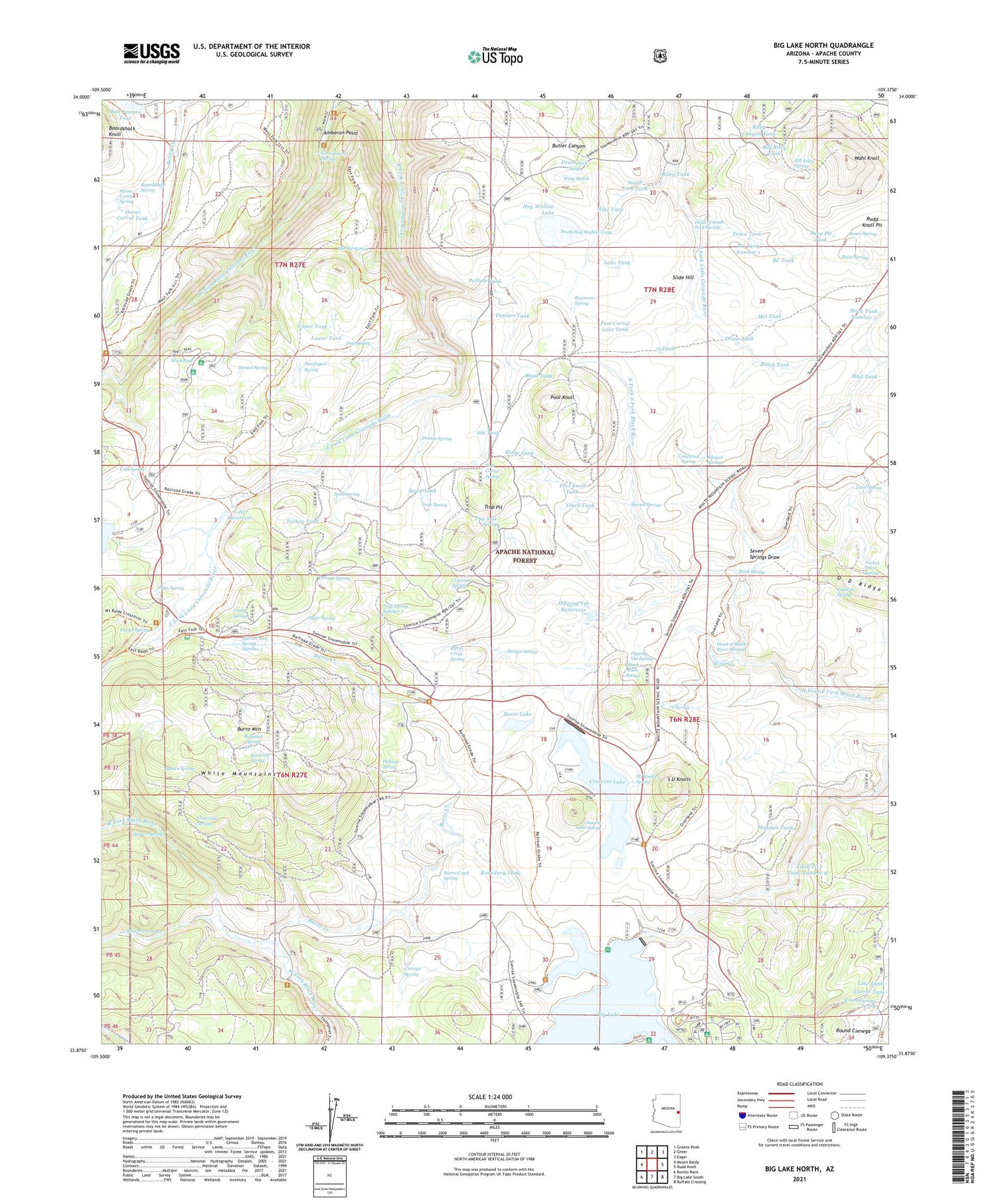
Also explore the Big Lake North Forest Service Topo of this same quad for updated USFS data
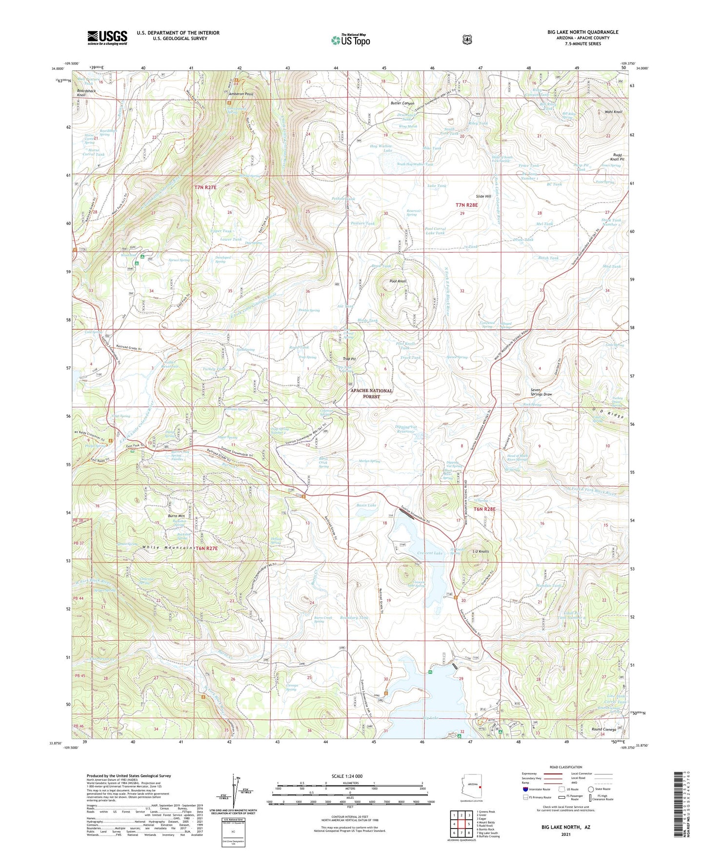
2021 topographic map quadrangle Big Lake North in the state of Arizona. Scale: 1:24000. Based on the newly updated USGS 7.5' US Topo map series, this map is in the following counties: Apache. The map contains contour data, water features, and other items you are used to seeing on USGS maps, but also has updated roads and other features. This is the next generation of topographic maps. Printed on high-quality waterproof paper with UV fade-resistant inks.
Quads adjacent to this one:
West: Mount Baldy
Northwest: Greens Peak
North: Greer
Northeast: Eagar
East: Rudd Knoll
Southeast: Buffalo Crossing
South: Big Lake South
Southwest: Bonito Rock
This map covers the same area as the classic USGS quad with code o33109h4.
Contains the following named places: 409 Road Well, 71 Tank, 72 Tank, 75 Spring, 75 Tank, Alleged Spring, Amberon Point, Ant Tank, Basin Lake, BC Tank, BC Tank Number 1, Big Lake, Big Lake Boat Launch, Big Lake Dam, Big Lake Forest Camp, Big Lake Marina, Big Lake Railroad Cove Boat Launch, Big Lake Recreation Area, Bill Riley Spring, Bill Riley Tank, Black River Spring, Blade Tank, Boardshack Spring, Boundary Tank, Brookchar Campground, Buckshot Spring, Bull Pasture Tank, Burro Creek, Burro Creek Spring, Burro Creek Spring Number 1, Burro Mountain, Burro Mountain Weir, Butch Tank, Cherokee Tank, Cienega Spring, Clear Cut Spring, Cold Spring, Coleman Spring, Colter Reservoir, Convicted Spring, Corner Tank, Corral Tank, Crescent Lake, Crescent Lake Dam, Crescent Lake Dam Boat Launch, Crescent Lake Spring, Crescent Lake West Side Boat Launch, Crossbar Tank, Day Spring, Deep Pit Tank, Definite Spring, Developed Spring, Dipping Vat Reservoir, Dipping Vat Spring, Dot Tank, Double Spring, Draw Tank, Drumstick Tank, Dump Spring, East Fork Baldy Trail Ninetyfive, Egg Tank, Elk Pit Tank, Fence Spring, Fence Tank, Fir Pit Tank, Gabaldon Campground, Government Spring, Government Spring Forest Camp, Half Tank, Head of Black River Springs, Head of South Fork Spring, Hog Wallow Dam, Hog Wallow Lake, Horse Corral Spring, Horse Corral Tank, Lake Tank, Lee Valley Dam, Lee Valley Reservoir Boat Launch, Line Tank, Little Spring, Lower Tank, Mandan Tank, Marble Spring, Mel Tank, Merlyn Spring, Mike Tank, Montlure Church Camp, Mud Tank, Need Spring, North Fork Black River, North Hog Wallow Tank, Pasture Tank, Phelps Fire Station, Phelps Forest Service Facility, Phelps Ranch, Phelps Spring, Point Spring, Pool Corral, Pool Corral Dam, Pool Corral Lake, Pool Corral Lake Tank, Pool Corral Spring, Pool Knoll, Pool Knoll Tank, Pothole Tank, Reservoir Spring, Riley Canyon Tank, Riley Tank, River Number One Dam, Road Tank, Rock Spring, Round Cienega, Round Cienega Spring, Round Tank, Rudd Knoll Pit, Rudd Knoll Tank Number 5, Ruth Tank, S U Knolls, Section 25 Tank, Seven Springs, Seven Springs Draw, Seven Springs Well, Seventy-Four Tank, Seventy-Three Tank, Slide Hill, South Crescent Lake Boat Launch, South Fork Tank, South Hog Wallow Tank, Spence Cabin, Spence Spring, Spruce Spring, Stock Tank Number 1, SU Knolls Spring, SU Spring, Sugar Spring, Thompson Creek, Thompson Ranch, Tommie Spring, Track Tank, Trap Pit, Trap Spring, Trap Spring Number 2, Trap Tank Spring, Turkey Draw Spring, Turkey Tank, Udall 12 Spring, Udall Pit Tank Number 8, Upper Tank, Voigt Pit Tank Number 1, Voigt Pit Tank Number 2, Voigt Pit Tank Number Six, Voigt Ranch, Voigt Spring, Wahl Knoll, Wing Marsh, Winn Campground, Winn Sink